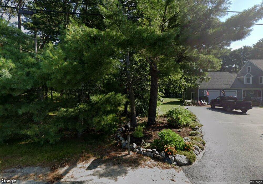
117 Mayflower Ridge Dr Wareham, MA 02571
Estimated Value: $637,946 - $688,000
3
Beds
2
Baths
2,072
Sq Ft
$321/Sq Ft
Est. Value
About This Home
This home is located at 117 Mayflower Ridge Dr, Wareham, MA 02571 and is currently estimated at $664,737, approximately $320 per square foot. 117 Mayflower Ridge Dr is a home located in Plymouth County.
Ownership History
Date
Name
Owned For
Owner Type
Purchase Details
Closed on
Jun 17, 2002
Sold by
Keyes Dana C
Bought by
Mackay Julia A and Gledhill William E
Current Estimated Value
Home Financials for this Owner
Home Financials are based on the most recent Mortgage that was taken out on this home.
Original Mortgage
$261,000
Interest Rate
6.8%
Mortgage Type
Purchase Money Mortgage
Create a Home Valuation Report for This Property
The Home Valuation Report is an in-depth analysis detailing your home's value as well as a comparison with similar homes in the area
Purchase History
| Date | Buyer | Sale Price | Title Company |
|---|---|---|---|
| Mackay Julia A | $290,000 | -- | |
| Mackay Julia A | $290,000 | -- |
Source: Public Records
Mortgage History
| Date | Status | Borrower | Loan Amount |
|---|---|---|---|
| Open | Mackay Julia A | $215,300 | |
| Closed | Mackay Julia A | $261,000 | |
| Closed | Mackay Julia A | $261,000 |
Source: Public Records
Tax History
| Year | Tax Paid | Tax Assessment Tax Assessment Total Assessment is a certain percentage of the fair market value that is determined by local assessors to be the total taxable value of land and additions on the property. | Land | Improvement |
|---|---|---|---|---|
| 2025 | $5,385 | $516,800 | $181,500 | $335,300 |
| 2024 | $5,308 | $472,700 | $146,800 | $325,900 |
| 2023 | $4,902 | $425,600 | $136,700 | $288,900 |
| 2022 | $4,902 | $371,900 | $136,700 | $235,200 |
| 2021 | $4,853 | $360,800 | $136,700 | $224,100 |
| 2020 | $4,588 | $346,000 | $136,700 | $209,300 |
| 2019 | $4,423 | $332,800 | $142,500 | $190,300 |
| 2018 | $4,281 | $314,100 | $142,500 | $171,600 |
| 2017 | $4,073 | $302,800 | $142,500 | $160,300 |
| 2016 | $3,863 | $285,500 | $147,700 | $137,800 |
| 2015 | $3,731 | $285,500 | $147,700 | $137,800 |
| 2014 | $3,885 | $302,300 | $147,700 | $154,600 |
Source: Public Records
Map
Nearby Homes
- 110 Mayflower Ridge Dr
- 437 Main St
- 2645 Cranberry Hwy Unit A
- 10 Longmeadow Dr
- 2697 Cranberry Hwy Unit 21
- 6 Bourne Terrace
- 2711 Cranberry Hwy
- 10 Oak St
- 106 Circuit Ave
- 4 Mather Dr
- 233 Marion Rd
- 156 Sandwich Rd
- 7 Maud Palmer Dr
- 1 Emma Ln Unit B
- 15 Broadmarsh Ave
- 6 Allen Ave
- 20 Grant St
- 43 Shore Ave
- 6 Pine St
- 9 Woodville Way
- 109 Mayflower Ridge Dr
- 107 Mayflower Ridge Dr
- 105 Mayflower Ridge Dr
- 108 Mayflower Ridge Dr
- 104 Mayflower Ridge Dr
- 103 Mayflower Ridge Dr
- 97 Mayflower Ridge Dr
- 0 Mayflower Ridge Dr
- 0 Mayflower Ridge Dr
- 80 & 97 Mayflower Ridge Dr
- 13 Mayflower Ridge Dr
- 114 Mayflower Ridge Dr
- 102 Mayflower Ridge Dr
- 48 Mayflower Ridge Dr
- 44 Mayflower Ridge Dr
- 44 Mayflower Ridge Dr
- 44 Mayflower Ridge Dr Unit 1
- 50 Mayflower Ridge Dr
- 52 Mayflower Ridge Dr
- 1 Heather Hill Rd
Your Personal Tour Guide
Ask me questions while you tour the home.