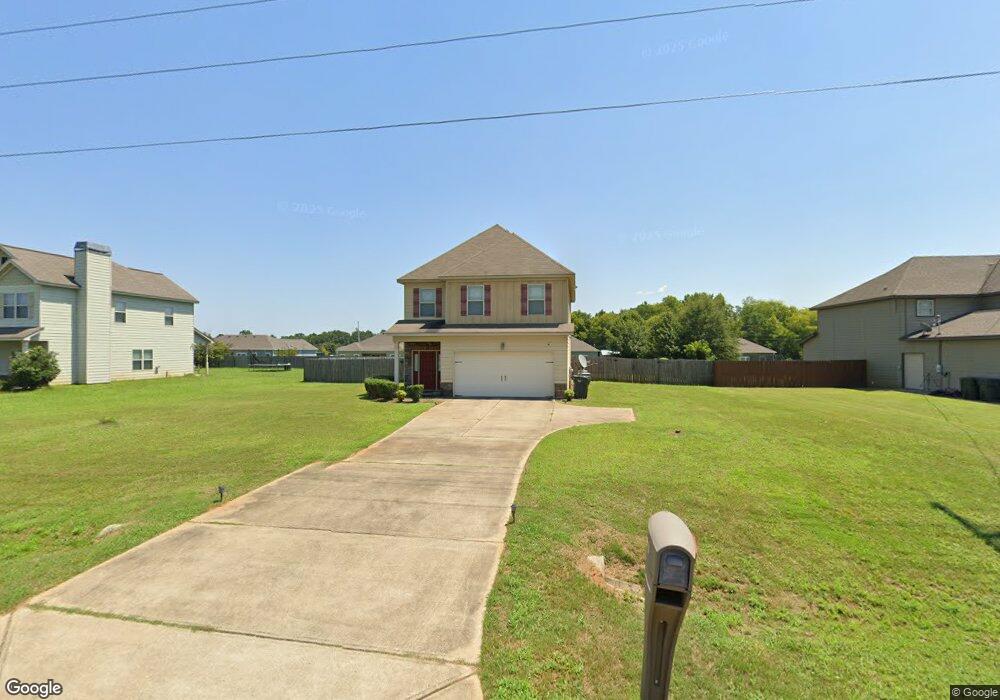
117 Mclendon Rd Fort Mitchell, AL 36856
Estimated Value: $250,000 - $296,000
3
Beds
3
Baths
1,844
Sq Ft
$146/Sq Ft
Est. Value
About This Home
This home is located at 117 Mclendon Rd, Fort Mitchell, AL 36856 and is currently estimated at $268,481, approximately $145 per square foot. 117 Mclendon Rd is a home located in Russell County with nearby schools including Russell County Middle School and Russell County High School.
Ownership History
Date
Name
Owned For
Owner Type
Purchase Details
Closed on
Aug 21, 2020
Bought by
Richards Robert Earl
Current Estimated Value
Purchase Details
Closed on
Nov 23, 2011
Sold by
J & A Homes And Development Llc
Bought by
Jones Sheronda
Home Financials for this Owner
Home Financials are based on the most recent Mortgage that was taken out on this home.
Original Mortgage
$157,004
Interest Rate
4.15%
Mortgage Type
Stand Alone First
Create a Home Valuation Report for This Property
The Home Valuation Report is an in-depth analysis detailing your home's value as well as a comparison with similar homes in the area
Home Values in the Area
Average Home Value in this Area
Purchase History
| Date | Buyer | Sale Price | Title Company |
|---|---|---|---|
| Richards Robert Earl | $151,000 | -- | |
| Jones Sheronda | -- | -- |
Source: Public Records
Mortgage History
| Date | Status | Borrower | Loan Amount |
|---|---|---|---|
| Previous Owner | Jones Sheronda | $157,004 |
Source: Public Records
Tax History Compared to Growth
Tax History
| Year | Tax Paid | Tax Assessment Tax Assessment Total Assessment is a certain percentage of the fair market value that is determined by local assessors to be the total taxable value of land and additions on the property. | Land | Improvement |
|---|---|---|---|---|
| 2024 | $1,419 | $39,420 | $3,900 | $35,520 |
| 2023 | $1,515 | $40,696 | $3,900 | $36,796 |
| 2022 | $1,244 | $34,569 | $3,900 | $30,669 |
| 2021 | $1,133 | $30,077 | $3,900 | $26,177 |
| 2020 | $50 | $14,800 | $1,960 | $12,840 |
| 2019 | $50 | $14,080 | $1,960 | $12,120 |
| 2018 | $50 | $13,860 | $1,960 | $11,900 |
| 2017 | $504 | $13,740 | $1,960 | $11,780 |
| 2016 | $504 | $14,000 | $1,960 | $12,040 |
| 2015 | $393 | $12,281 | $1,650 | $10,631 |
| 2014 | $400 | $12,500 | $1,650 | $10,850 |
Source: Public Records
Map
Nearby Homes
- 11 Night Hawk Ct
- 152 Mclendon Rd
- 10 Talon Ct
- 13 Talon Ct
- 16 Golden Eagle Ct
- 305 Owens Rd
- 14 Pebblebrook Ln
- 6 Pebblebrook Ln
- 4 Pimlico Dr
- 280 Owens Rd
- 370 Owens Rd
- 9 Stoney Mill Ln
- 14 Greyhawk Ct
- 274 Owens Rd
- 28 Honeysuckle Way
- 17 Churchhill Dr
- 11 Summershade Ct
- 259 Owens Rd
- 55 Sugar Maple Dr
- 35 Farmbrook Dr
- 119 Mclendon Rd
- 115 Mclendon Rd
- 121 Mclendon Rd
- 113 Mclendon Rd
- 114 Mclendon Rd
- 123 Mclendon Rd
- 111 Mclendon Rd
- 108 Mclendon Rd
- 125 Mclendon Rd
- 109 Mclendon Rd
- 11 Eagle Ridge Ln
- 9 Eagle Ridge Ln
- 7 Eagle Ridge Ln
- 5 Eagle Ridge Ln
- 3 Eagle Ridge Ct
- 15 Eagle Ridge Ln
- 2 Eagle Ridge Ln
- 101 Mclendon Rd
- 96 Mclendon Rd
- 2 Winter Hawk Dr