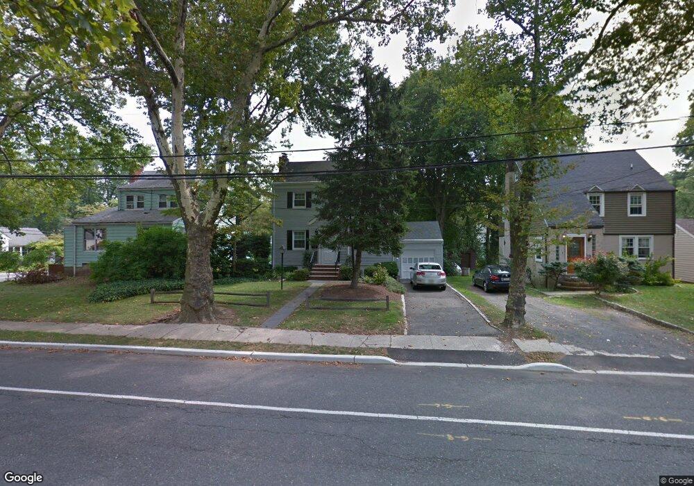
117 Meisel Ave Springfield, NJ 07081
Estimated Value: $552,000 - $634,000
Studio
--
Bath
1,500
Sq Ft
$389/Sq Ft
Est. Value
About This Home
This home is located at 117 Meisel Ave, Springfield, NJ 07081 and is currently estimated at $584,003, approximately $389 per square foot. 117 Meisel Ave is a home located in Union County with nearby schools including Jonathan Dayton High School and St James The Apostle School.
Ownership History
Date
Name
Owned For
Owner Type
Purchase Details
Closed on
Sep 16, 2024
Sold by
Brown Richard and Brown Cheryl
Bought by
Oyharbide Diego
Current Estimated Value
Home Financials for this Owner
Home Financials are based on the most recent Mortgage that was taken out on this home.
Original Mortgage
$315,000
Outstanding Balance
$311,452
Interest Rate
6.46%
Mortgage Type
New Conventional
Estimated Equity
$272,551
Create a Home Valuation Report for This Property
The Home Valuation Report is an in-depth analysis detailing your home's value as well as a comparison with similar homes in the area
Home Values in the Area
Average Home Value in this Area
Purchase History
| Date | Buyer | Sale Price | Title Company |
|---|---|---|---|
| Oyharbide Diego | $497,000 | First American Title | |
| Oyharbide Diego | $497,000 | First American Title |
Source: Public Records
Mortgage History
| Date | Status | Borrower | Loan Amount |
|---|---|---|---|
| Open | Oyharbide Diego | $315,000 | |
| Closed | Oyharbide Diego | $315,000 |
Source: Public Records
Tax History
| Year | Tax Paid | Tax Assessment Tax Assessment Total Assessment is a certain percentage of the fair market value that is determined by local assessors to be the total taxable value of land and additions on the property. | Land | Improvement |
|---|---|---|---|---|
| 2025 | $11,364 | $478,500 | $187,400 | $291,100 |
| 2024 | $11,178 | $478,500 | $187,400 | $291,100 |
| 2023 | $11,178 | $478,500 | $187,400 | $291,100 |
| 2022 | $10,379 | $478,500 | $187,400 | $291,100 |
| 2021 | $10,066 | $135,200 | $48,000 | $87,200 |
| 2020 | $9,909 | $135,200 | $48,000 | $87,200 |
| 2019 | $9,775 | $135,200 | $48,000 | $87,200 |
| 2018 | $9,599 | $135,200 | $48,000 | $87,200 |
| 2017 | $9,336 | $135,200 | $48,000 | $87,200 |
| 2016 | $9,154 | $135,200 | $48,000 | $87,200 |
| 2015 | $9,048 | $135,200 | $48,000 | $87,200 |
| 2014 | $8,877 | $135,200 | $48,000 | $87,200 |
Source: Public Records
Map
Nearby Homes
- 182 Meisel Ave
- 27 Garden Oval
- 105 Battle Hill Ave
- 20 Maple Ave
- 190 Morris Ave Unit 3B
- 148 Locust Dr
- 38 Warner Ave
- 1 Perry Place
- 823 Pinewood Rd
- 16 Tooker Ave
- 24 Brook St
- 2785 Larchmont Rd
- 1042 Battle Hill Terrace
- 960 Moessner Ave
- 2705 Andrea Rd
- 968 Moessner Ave
- 298 Main St
- 2636 Frederick Terrace
- 294 Mountain Ave
- 19A Ocean St Unit A
Your Personal Tour Guide
Ask me questions while you tour the home.