117 Monroeville Rd Monroeville, IN 46773
Estimated Value: $207,000 - $220,000
4
Beds
1
Bath
2,076
Sq Ft
$102/Sq Ft
Est. Value
About This Home
This home is located at 117 Monroeville Rd, Monroeville, IN 46773 and is currently estimated at $211,753, approximately $102 per square foot. 117 Monroeville Rd is a home located in Allen County with nearby schools including Heritage Junior/Senior High School and St Rose of Lima Catholic School.
Ownership History
Date
Name
Owned For
Owner Type
Purchase Details
Closed on
Aug 4, 2023
Sold by
Wenger Robert and Wenger Janet
Bought by
Wenger Austin R
Current Estimated Value
Home Financials for this Owner
Home Financials are based on the most recent Mortgage that was taken out on this home.
Original Mortgage
$120,000
Outstanding Balance
$99,117
Interest Rate
6.25%
Mortgage Type
New Conventional
Estimated Equity
$112,636
Create a Home Valuation Report for This Property
The Home Valuation Report is an in-depth analysis detailing your home's value as well as a comparison with similar homes in the area
Home Values in the Area
Average Home Value in this Area
Purchase History
| Date | Buyer | Sale Price | Title Company |
|---|---|---|---|
| Wenger Austin R | -- | None Listed On Document |
Source: Public Records
Mortgage History
| Date | Status | Borrower | Loan Amount |
|---|---|---|---|
| Open | Wenger Austin R | $120,000 |
Source: Public Records
Tax History Compared to Growth
Tax History
| Year | Tax Paid | Tax Assessment Tax Assessment Total Assessment is a certain percentage of the fair market value that is determined by local assessors to be the total taxable value of land and additions on the property. | Land | Improvement |
|---|---|---|---|---|
| 2024 | $1,513 | $189,000 | $26,800 | $162,200 |
| 2022 | $3,306 | $165,300 | $17,300 | $148,000 |
| 2021 | $1,425 | $142,500 | $17,300 | $125,200 |
| 2020 | $1,127 | $120,400 | $17,300 | $103,100 |
| 2019 | $1,021 | $110,400 | $17,300 | $93,100 |
| 2018 | $856 | $98,300 | $17,300 | $81,000 |
| 2017 | $688 | $86,900 | $17,300 | $69,600 |
| 2016 | $665 | $86,200 | $17,300 | $68,900 |
| 2014 | $664 | $88,000 | $17,300 | $70,700 |
| 2013 | $899 | $102,300 | $17,300 | $85,000 |
Source: Public Records
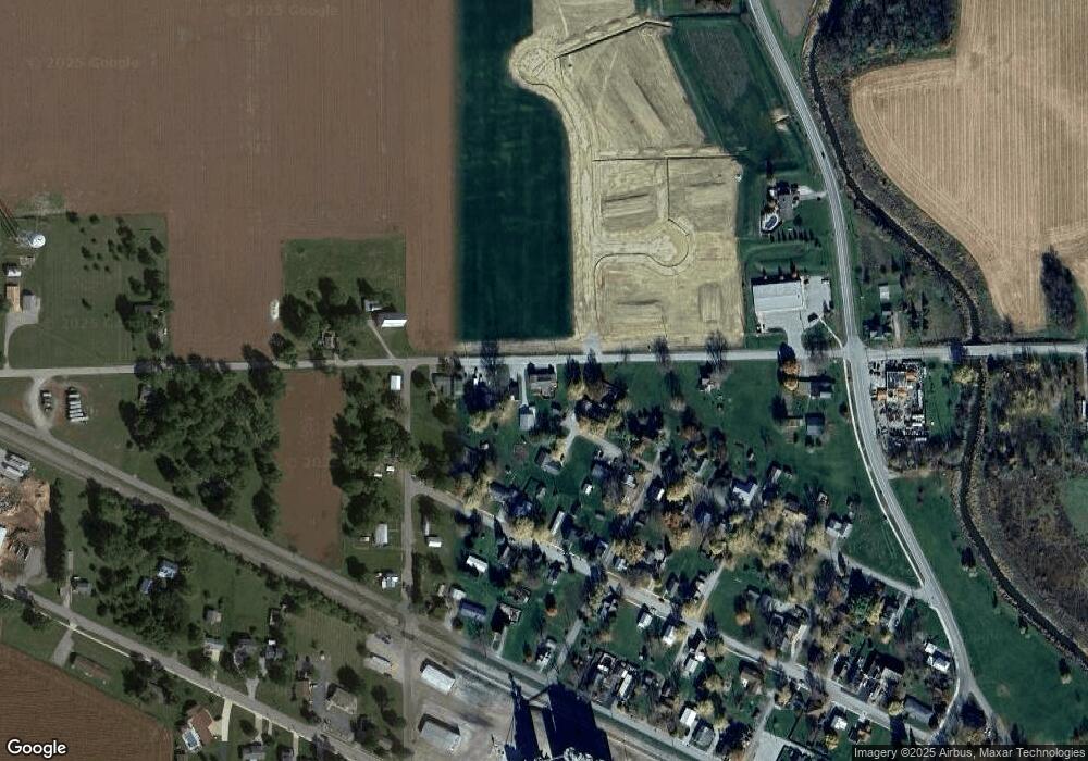
Map
Nearby Homes
- 318 W Barnhart St
- 214 Railroad St
- 422 Monroe St
- 14720 State Line Rd
- 10453 N State Road 101
- 1688 Convoy Rd
- 19900 Dawkins Rd
- 11040 English St
- 10225 N 100 W
- 0 N 300 E
- 173 Roeville Rd
- 5135 Buffay Ct
- 5065 Buffay Ct
- 5057 Buffay Ct
- Bellamy Plan at Kennebec
- Chatham Plan at Kennebec
- Stamford Plan at Kennebec
- Pine Plan at Kennebec
- Freeport Plan at Kennebec
- Fairton Plan at Kennebec
- 119 Monroeville Rd
- 123 Monroeville Rd
- 125 Monroeville Rd
- 127 Monroeville Rd
- 306 W North St
- 307 W North St
- 316 W Barnhart St
- 310 W Barnhart St
- 307 S Washington St
- 303 W North St
- 308 W Barnhart St
- 302 W North St
- 20413 Monroeville Rd
- 307 N Washington St
- 301 W North St
- 304 W Barnhart St
- 302 W Barnhart St
- 107 Monroeville Rd
- 219 W North St
- 207 N Washington St