117 N Anglin Branch Grayson, KY 41143
Estimated Value: $428,796 - $627,000
--
Bed
--
Bath
4,130
Sq Ft
$134/Sq Ft
Est. Value
About This Home
This home is located at 117 N Anglin Branch, Grayson, KY 41143 and is currently estimated at $553,199, approximately $133 per square foot. 117 N Anglin Branch is a home located in Carter County with nearby schools including Prichard Elementary School, East Carter Middle School, and East Carter County High School.
Ownership History
Date
Name
Owned For
Owner Type
Purchase Details
Closed on
Oct 27, 2010
Sold by
Rice Hobert C and Rice Stephanie
Bought by
Snyder David
Current Estimated Value
Home Financials for this Owner
Home Financials are based on the most recent Mortgage that was taken out on this home.
Original Mortgage
$261,000
Outstanding Balance
$173,167
Interest Rate
4.38%
Mortgage Type
New Conventional
Estimated Equity
$380,032
Create a Home Valuation Report for This Property
The Home Valuation Report is an in-depth analysis detailing your home's value as well as a comparison with similar homes in the area
Home Values in the Area
Average Home Value in this Area
Purchase History
| Date | Buyer | Sale Price | Title Company |
|---|---|---|---|
| Snyder David | $290,000 | Rancow Title Company Inc |
Source: Public Records
Mortgage History
| Date | Status | Borrower | Loan Amount |
|---|---|---|---|
| Open | Snyder David | $261,000 |
Source: Public Records
Tax History Compared to Growth
Tax History
| Year | Tax Paid | Tax Assessment Tax Assessment Total Assessment is a certain percentage of the fair market value that is determined by local assessors to be the total taxable value of land and additions on the property. | Land | Improvement |
|---|---|---|---|---|
| 2024 | $2,574 | $300,000 | $0 | $0 |
| 2023 | $2,586 | $300,000 | $0 | $0 |
| 2022 | $2,595 | $300,000 | $0 | $0 |
| 2021 | $2,646 | $300,000 | $0 | $0 |
| 2020 | $2,653 | $300,000 | $30,000 | $270,000 |
| 2019 | $2,646 | $300,000 | $30,000 | $270,000 |
| 2018 | $2,647 | $300,000 | $30,000 | $270,000 |
| 2017 | $2,525 | $300,000 | $30,000 | $270,000 |
| 2016 | $2,520 | $300,000 | $30,000 | $270,000 |
| 2015 | $2,460 | $300,000 | $30,000 | $270,000 |
| 2014 | $2,460 | $300,000 | $30,000 | $270,000 |
| 2011 | $2,337 | $290,000 | $30,000 | $260,000 |
Source: Public Records
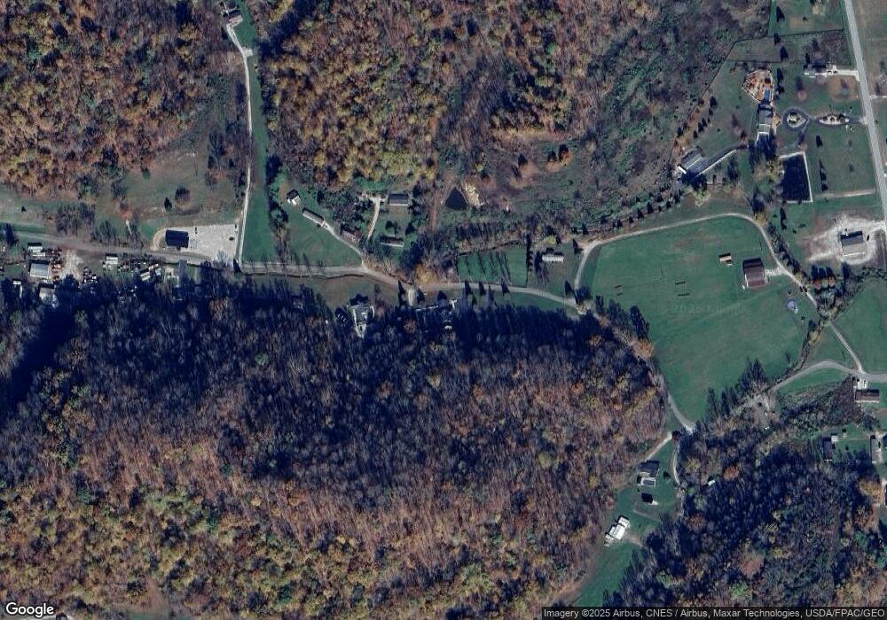
Map
Nearby Homes
- 0 Arabian Ln
- 0 Sorghum Dr
- Campbell Lane Empress Dr
- 00 Lot # 7 Phase 2
- 33216 Kentucky 784
- 105 Bluegrass
- 240 Wolfpen Branch
- 251 Sweetwater Ln
- 113 Karen Cir
- 107 Bowen St
- 212 Shady Ln
- Lot #15 Greenbrier Plantations Phase 1
- Lot #10 Greenbrier Plantations Phase 1
- Lot #13 Greenbrier Plantations Phase 1
- Lot #2 Greenbrier Plantations Phase 1
- Lot #11 Greenbrier Plantations Phase 1
- Lot #7 Greenbrier Plantations Phase 1
- 0 Cs-1050
- 312 N Court St
- 404 E 3rd St
- 1583 N State Highway 1
- 44 S Anglin Branch
- 318 S Anglin Branch
- 249 N Anglin Branch
- 1785 N State Highway 1
- 1545 N State Highway 1
- 22 Tulip Dr
- 674 S Anglin Branch
- 0 N Anglin Branch
- 1899 N State Highway 1
- 1935 N State Highway 1
- 336 N Anglin Branch
- 346 Tulip Dr
- 1947 Kentucky 1 Unit TRAC3
- 1947 Kentucky 1 Unit TRAC2
- 1947 Kentucky 1 Unit TRAC1
- 1947 Kentucky 1
- 2095 N State Highway 1
- 1946 N State Highway 1
- 1738 N State Highway 1