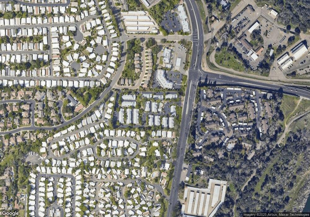
117 Pierpoint Cir Folsom, CA 95630
Estimated Value: $394,982 - $421,000
2
Beds
3
Baths
1,019
Sq Ft
$396/Sq Ft
Est. Value
About This Home
This home is located at 117 Pierpoint Cir, Folsom, CA 95630 and is currently estimated at $403,496, approximately $395 per square foot. 117 Pierpoint Cir is a home located in Sacramento County with nearby schools including Carl H. Sundahl Elementary School, Sutter Middle School, and Folsom High School.
Ownership History
Date
Name
Owned For
Owner Type
Purchase Details
Closed on
Jun 6, 2005
Sold by
Rocco Sarah B and Rocco Living Trust
Bought by
Adair Annette S
Current Estimated Value
Home Financials for this Owner
Home Financials are based on the most recent Mortgage that was taken out on this home.
Original Mortgage
$248,000
Outstanding Balance
$128,302
Interest Rate
5.62%
Mortgage Type
Purchase Money Mortgage
Estimated Equity
$275,194
Purchase Details
Closed on
Feb 5, 2002
Sold by
Rocco Sarah B
Bought by
Rocco Sarah B and The Rocco Living Trust
Home Financials for this Owner
Home Financials are based on the most recent Mortgage that was taken out on this home.
Original Mortgage
$112,000
Interest Rate
6.25%
Purchase Details
Closed on
Feb 4, 2002
Sold by
Liberti Dawn M
Bought by
Rocco Sarah B
Home Financials for this Owner
Home Financials are based on the most recent Mortgage that was taken out on this home.
Original Mortgage
$112,000
Interest Rate
6.25%
Purchase Details
Closed on
Jan 5, 2002
Sold by
Liberti Steven Lee
Bought by
Liberti Dawn M and Moor Dawn M
Home Financials for this Owner
Home Financials are based on the most recent Mortgage that was taken out on this home.
Original Mortgage
$112,000
Interest Rate
6.25%
Purchase Details
Closed on
Sep 14, 1998
Sold by
Vargo James and Vargo Karen
Bought by
Moor Dawn M
Home Financials for this Owner
Home Financials are based on the most recent Mortgage that was taken out on this home.
Original Mortgage
$111,962
Interest Rate
6.89%
Mortgage Type
FHA
Purchase Details
Closed on
May 22, 1996
Sold by
Hud
Bought by
Vargo James and Vargo Karen
Home Financials for this Owner
Home Financials are based on the most recent Mortgage that was taken out on this home.
Original Mortgage
$96,524
Interest Rate
8.07%
Mortgage Type
FHA
Purchase Details
Closed on
Oct 12, 1995
Sold by
Fleet Mtg Corp
Bought by
Hud
Purchase Details
Closed on
Oct 11, 1995
Sold by
Salas Arnold P and Fleet Mtg Corp
Bought by
Fleet Mtg Corp
Create a Home Valuation Report for This Property
The Home Valuation Report is an in-depth analysis detailing your home's value as well as a comparison with similar homes in the area
Purchase History
| Date | Buyer | Sale Price | Title Company |
|---|---|---|---|
| Adair Annette S | $310,000 | Financial Title Company | |
| Rocco Sarah B | -- | Financial Title Company | |
| Rocco Sarah B | $157,000 | Financial Title Company | |
| Liberti Dawn M | -- | Financial Title Company | |
| Moor Dawn M | $113,000 | Financial Title Company | |
| Vargo James | $94,500 | Stewart Title | |
| Hud | -- | Fidelity National Title | |
| Fleet Mtg Corp | $124,261 | Fidelity National Title |
Source: Public Records
Mortgage History
| Date | Status | Borrower | Loan Amount |
|---|---|---|---|
| Open | Adair Annette S | $248,000 | |
| Previous Owner | Rocco Sarah B | $112,000 | |
| Previous Owner | Moor Dawn M | $111,962 | |
| Previous Owner | Vargo James | $96,524 |
Source: Public Records
Tax History Compared to Growth
Tax History
| Year | Tax Paid | Tax Assessment Tax Assessment Total Assessment is a certain percentage of the fair market value that is determined by local assessors to be the total taxable value of land and additions on the property. | Land | Improvement |
|---|---|---|---|---|
| 2025 | $4,616 | $432,091 | $104,533 | $327,558 |
| 2024 | $4,616 | $423,620 | $102,484 | $321,136 |
| 2023 | $4,367 | $400,000 | $120,000 | $280,000 |
| 2022 | $4,192 | $382,000 | $120,000 | $262,000 |
| 2021 | $3,253 | $294,590 | $147,295 | $147,295 |
| 2020 | $2,860 | $259,552 | $129,776 | $129,776 |
| 2019 | $2,759 | $249,570 | $124,785 | $124,785 |
| 2018 | $2,638 | $239,972 | $119,986 | $119,986 |
| 2017 | $2,346 | $224,274 | $112,137 | $112,137 |
| 2016 | $2,315 | $207,662 | $103,831 | $103,831 |
| 2015 | $2,123 | $194,078 | $97,039 | $97,039 |
| 2014 | $2,015 | $190,272 | $95,136 | $95,136 |
Source: Public Records
Map
Nearby Homes
- 246 Danielle Way
- 90 Monterey Ln
- 238 Bluebird Ln
- 96 Monterey Ln
- 60 Birch Ln
- 76 Redwood Ln
- 342 Danielle Way
- 126 Danielle Way
- 587 Southwood Dr
- 591 Southwood Dr
- 411 Nugget Dr
- 101 Overbrook Dr
- 240 Stonebrook Dr
- 95 Shadowbrook Ct
- 112 Tomlinson Dr
- 117 Doubletree Ct
- 320 Stonebrook Dr
- 100 Hinkle Ct
- 115 American River Canyon Dr
- 202 Gainsborough Cir
- 118 Pierpoint Cir
- 119 Pierpoint Cir
- 116 Pierpoint Cir
- 125 Pierpoint Cir
- 162 Pierpoint Cir
- 127 Pierpoint Cir
- 163 Pierpoint Cir
- 124 Pierpoint Cir
- 164 Pierpoint Cir
- 161 Pierpoint Cir
- 165 Pierpoint Cir
- 120 Pierpoint Cir
- 112 Pierpoint Cir
- 160 Pierpoint Cir
- 159 Pierpoint Cir
- 121 Pierpoint Cir
- 113 Pierpoint Cir
- 158 Pierpoint Cir
- 166 Pierpoint Cir
- 122 Pierpoint Cir
