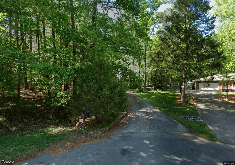
117 Pinoak Ct Chapel Hill, NC 27514
Estimated Value: $848,000 - $914,000
4
Beds
4
Baths
3,325
Sq Ft
$265/Sq Ft
Est. Value
About This Home
This home is located at 117 Pinoak Ct, Chapel Hill, NC 27514 and is currently estimated at $879,755, approximately $264 per square foot. 117 Pinoak Ct is a home located in Orange County with nearby schools including Estes Hills Elementary School, Smith Middle School, and East Chapel Hill High School.
Ownership History
Date
Name
Owned For
Owner Type
Purchase Details
Closed on
May 23, 2012
Sold by
Badrock Anita and Badrock Roger
Bought by
Sharp Dale Deborah
Current Estimated Value
Home Financials for this Owner
Home Financials are based on the most recent Mortgage that was taken out on this home.
Original Mortgage
$334,650
Outstanding Balance
$227,465
Interest Rate
3.5%
Mortgage Type
FHA
Estimated Equity
$652,290
Create a Home Valuation Report for This Property
The Home Valuation Report is an in-depth analysis detailing your home's value as well as a comparison with similar homes in the area
Home Values in the Area
Average Home Value in this Area
Purchase History
| Date | Buyer | Sale Price | Title Company |
|---|---|---|---|
| Sharp Dale Deborah | $365,000 | None Available |
Source: Public Records
Mortgage History
| Date | Status | Borrower | Loan Amount |
|---|---|---|---|
| Open | Sharp Dale Deborah | $334,650 |
Source: Public Records
Tax History Compared to Growth
Tax History
| Year | Tax Paid | Tax Assessment Tax Assessment Total Assessment is a certain percentage of the fair market value that is determined by local assessors to be the total taxable value of land and additions on the property. | Land | Improvement |
|---|---|---|---|---|
| 2025 | $9,649 | $714,400 | $310,000 | $404,400 |
| 2024 | $8,305 | $477,200 | $160,000 | $317,200 |
| 2023 | $8,082 | $477,200 | $160,000 | $317,200 |
| 2022 | $7,753 | $477,200 | $160,000 | $317,200 |
| 2021 | $7,655 | $477,200 | $160,000 | $317,200 |
| 2020 | $7,474 | $437,000 | $142,800 | $294,200 |
| 2018 | $7,295 | $437,000 | $142,800 | $294,200 |
| 2017 | $7,353 | $437,000 | $142,800 | $294,200 |
| 2016 | $7,353 | $436,932 | $115,055 | $321,877 |
| 2015 | $7,353 | $436,932 | $115,055 | $321,877 |
| 2014 | $7,301 | $436,932 | $115,055 | $321,877 |
Source: Public Records
Map
Nearby Homes
- 108 Butternut Dr
- 120 Kingston Dr
- 137 Kingsbury Dr
- 139 Kingsbury Dr Unit 6B
- 134 Kingsbury Dr
- 120 Schultz St
- 107 Weatherstone Dr Unit A
- 107 Weatherstone Dr Unit A
- 135 Blanche Way
- 128 Schultz St Unit 36A
- 227 Schultz St Unit 31B
- 213 Schultz St Unit 29C
- 113 Weatherstone Dr Unit B
- 111 Foxridge Rd
- 100 Apple St
- 306 New Parkside Dr
- 310 New Parkside Dr
- 6117 Highway 86
- 820 Kenmore Rd
- 838 Shady Lawn Rd
- 119 Pinoak Ct
- 108 Cottonwood Ct
- 100 Cottonwood Ct
- 118 Pinoak Ct
- 132 Kingston Dr
- 128 Kingston Dr
- 5 Silver Cedar Ln Unit A
- 5a Silver Cedar Ln
- 5 Silver Cedar Ln Unit B
- 134 Kingston Dr
- 114 Pinoak Ct
- 105 Silver Cedar Ln
- 109 Cottonwood Ct
- 107 Cottonwood Ct
- 136 Kingston Dr
- 136 Kingston Dr Unit 11C
- 101 Cottonwood Ct
- 106 Pinoak Ct
- 110 Silver Cedar Ln
- 103 Cottonwood Ct