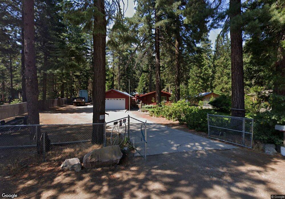
117 Pony Trail Mount Shasta, CA 96067
Estimated Value: $269,843 - $363,000
2
Beds
1
Bath
625
Sq Ft
$496/Sq Ft
Est. Value
About This Home
This home is located at 117 Pony Trail, Mount Shasta, CA 96067 and is currently estimated at $310,211, approximately $496 per square foot. 117 Pony Trail is a home located in Siskiyou County with nearby schools including Mt. Shasta Elementary School, Mt. Shasta High School, and I Am School.
Ownership History
Date
Name
Owned For
Owner Type
Purchase Details
Closed on
Jan 24, 2011
Sold by
Zanni Christopher A and Zanni Alan J
Bought by
Zanni Christopher A
Current Estimated Value
Home Financials for this Owner
Home Financials are based on the most recent Mortgage that was taken out on this home.
Original Mortgage
$135,000
Interest Rate
4.82%
Mortgage Type
New Conventional
Create a Home Valuation Report for This Property
The Home Valuation Report is an in-depth analysis detailing your home's value as well as a comparison with similar homes in the area
Purchase History
| Date | Buyer | Sale Price | Title Company |
|---|---|---|---|
| Zanni Christopher A | -- | Mt Shasta Title & Escrow Co |
Source: Public Records
Mortgage History
| Date | Status | Borrower | Loan Amount |
|---|---|---|---|
| Closed | Zanni Christopher A | $135,000 |
Source: Public Records
Tax History
| Year | Tax Paid | Tax Assessment Tax Assessment Total Assessment is a certain percentage of the fair market value that is determined by local assessors to be the total taxable value of land and additions on the property. | Land | Improvement |
|---|---|---|---|---|
| 2025 | $1,998 | $191,265 | $63,853 | $127,412 |
| 2023 | $1,998 | $183,839 | $61,374 | $122,465 |
| 2022 | $1,921 | $180,235 | $60,171 | $120,064 |
| 2021 | $1,888 | $176,702 | $58,992 | $117,710 |
| 2020 | $1,887 | $174,892 | $58,388 | $116,504 |
| 2019 | $1,852 | $171,464 | $57,244 | $114,220 |
| 2018 | $1,816 | $168,103 | $56,122 | $111,981 |
| 2017 | $1,797 | $164,808 | $55,022 | $109,786 |
| 2016 | $1,762 | $161,578 | $53,944 | $107,634 |
| 2015 | $1,738 | $159,152 | $53,134 | $106,018 |
| 2014 | $1,706 | $156,036 | $52,094 | $103,942 |
Source: Public Records
Map
Nearby Homes
- 503 Pony Trail
- 1.4 Acres Summit Dr
- 00 Summit Dr
- 9.2 acres Spring Hill Rd
- #000 Audubon Rd
- 2430 Pine Grove Dr
- 1601 Timber Hills Rd
- 1224 Timber Hills Rd
- 848 Mac Ln
- 1135 Quail Meadow Dr
- 1901 Wyehka Way
- 1221 Woodland Park Dr
- 1434 Kingston Rd
- 1422 Kingston Rd
- 1420 Kingston Rd
- 1044 N Mt Shasta Blv
- Lot 22 Woodside Ct
- 438 Dogwood Dr
- 1825 Eddy Cir
- 00 Kenneth Marjorie
- 133 Pony Trail
- 105 Pony Trail
- 3539 Summit Dr
- 139 Pony Trail
- 3400 Summit Dr
- 124 Pony Trail
- 104 Pony Trail
- 132 Pony Trail
- 3435 Summit Dr
- Lot #3 Brooks Ridge Dr
- Lot #1 Brooks Ridge Dr
- Lot # 3 Brooks Ridge Dr
- Lot #4 Brooks Ridge Dr
- 205 Pony Trail
- 209 Pony Trail
- 3417 Summit Dr
- 222 Pony Trail
- 3631 Summit Dr
- 217 Pony Trail
- 3407 Summit Dr
Your Personal Tour Guide
Ask me questions while you tour the home.