117 Rosehip Rd Eastsound, WA 98245
Estimated Value: $759,000 - $1,353,000
3
Beds
2
Baths
2,034
Sq Ft
$482/Sq Ft
Est. Value
About This Home
This home is located at 117 Rosehip Rd, Eastsound, WA 98245 and is currently estimated at $979,976, approximately $481 per square foot. 117 Rosehip Rd is a home located in San Juan County with nearby schools including Orcas Island Elementary School, Orcas Island Middle School, and Orcas Island High School.
Ownership History
Date
Name
Owned For
Owner Type
Purchase Details
Closed on
Aug 18, 2011
Sold by
Fisher Peter C
Bought by
Shiozawa Elaine June and Revocable Living Trust Of Elai
Current Estimated Value
Home Financials for this Owner
Home Financials are based on the most recent Mortgage that was taken out on this home.
Original Mortgage
$75,000
Outstanding Balance
$3,383
Interest Rate
4.43%
Mortgage Type
New Conventional
Estimated Equity
$976,593
Purchase Details
Closed on
Aug 13, 2008
Sold by
Opal Community Land Trust
Bought by
Fisher Peter C
Create a Home Valuation Report for This Property
The Home Valuation Report is an in-depth analysis detailing your home's value as well as a comparison with similar homes in the area
Purchase History
| Date | Buyer | Sale Price | Title Company |
|---|---|---|---|
| Shiozawa Elaine June | $346,126 | San Juan Title | |
| Fisher Peter C | -- | Accommodation |
Source: Public Records
Mortgage History
| Date | Status | Borrower | Loan Amount |
|---|---|---|---|
| Open | Shiozawa Elaine June | $75,000 |
Source: Public Records
Tax History
| Year | Tax Paid | Tax Assessment Tax Assessment Total Assessment is a certain percentage of the fair market value that is determined by local assessors to be the total taxable value of land and additions on the property. | Land | Improvement |
|---|---|---|---|---|
| 2025 | $4,519 | $769,790 | $107,370 | $662,420 |
| 2024 | $4,273 | $763,830 | $102,260 | $661,570 |
| 2023 | $4,273 | $781,720 | $102,260 | $679,460 |
| 2022 | $4,092 | $670,140 | $102,260 | $567,880 |
| 2021 | $3,043 | $543,340 | $85,220 | $458,120 |
| 2020 | $2,481 | $385,690 | $77,470 | $308,220 |
| 2019 | $2,544 | $303,820 | $77,470 | $226,350 |
| 2018 | $3,176 | $542,970 | $310,220 | $232,750 |
| 2017 | $2,435 | $394,780 | $77,470 | $317,310 |
| 2016 | $2,594 | $332,410 | $81,340 | $251,070 |
| 2015 | $2,594 | $338,830 | $77,470 | $261,360 |
| 2014 | $2,594 | $328,690 | $77,470 | $251,220 |
| 2012 | $2,594 | $331,100 | $80,430 | $250,670 |
Source: Public Records
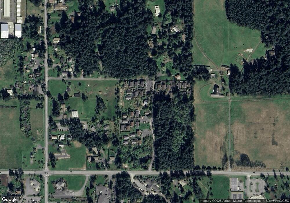
Map
Nearby Homes
- 276 Aviator Dr
- 452 Pine St
- 182 Sucia Dr Unit 12A
- 82 Blanchard Rd
- 309 Sunset Ave
- 231 Madrona St Unit 2
- 231 Madrona St Unit 5
- 351 Sunset Ave
- 172 Lover's Ln Unit B201
- 9 Fossil Bay Dr
- 285 Raptor Rd
- 0 Main St Unit NWM2377643
- 178 Fossil Bay Dr
- 69 Myer's St
- 90 Montgomery Ln
- 406 Parker Reef Rd
- 540 Wright Rd
- 0 Raccoon Point Rd Unit Lot 2 NWM2362715
- 0 Raccoon Point Rd Unit Lot 19 NWM2362102
- 311 Enchanted Forest Rd
Your Personal Tour Guide
Ask me questions while you tour the home.