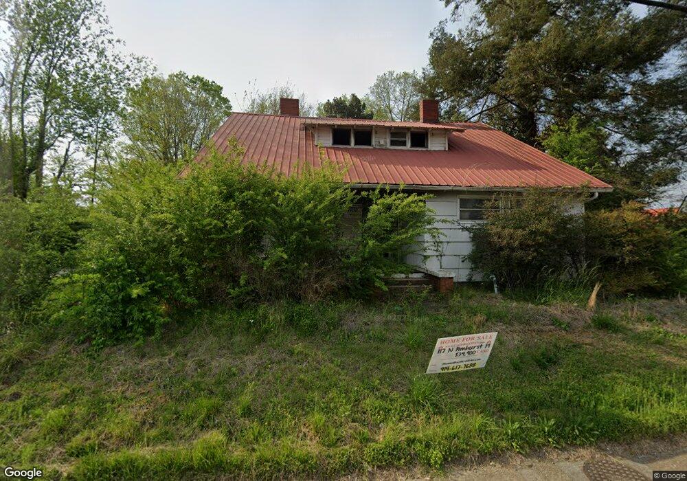
117 S Amhurst Place Englewood, TN 37329
Estimated Value: $35,000 - $186,896
4
Beds
2
Baths
1,833
Sq Ft
$60/Sq Ft
Est. Value
About This Home
This home is located at 117 S Amhurst Place, Englewood, TN 37329 and is currently estimated at $110,724, approximately $60 per square foot. 117 S Amhurst Place is a home located in McMinn County.
Ownership History
Date
Name
Owned For
Owner Type
Purchase Details
Closed on
Mar 5, 2024
Sold by
Tennessee Housing Dev Agency
Bought by
Castlerock 2023 Llc
Current Estimated Value
Purchase Details
Closed on
Mar 2, 2021
Sold by
Wagner Christopher L
Bought by
Mcmahan Dwayne
Purchase Details
Closed on
Aug 26, 2020
Sold by
Rogers James Eber
Bought by
Coffman Steven
Home Financials for this Owner
Home Financials are based on the most recent Mortgage that was taken out on this home.
Original Mortgage
$93,279
Interest Rate
2.9%
Mortgage Type
FHA
Create a Home Valuation Report for This Property
The Home Valuation Report is an in-depth analysis detailing your home's value as well as a comparison with similar homes in the area
Home Values in the Area
Average Home Value in this Area
Purchase History
| Date | Buyer | Sale Price | Title Company |
|---|---|---|---|
| Castlerock 2023 Llc | $31,000 | None Listed On Document | |
| Mcmahan Dwayne | $68,309 | Valley Title Services Llc | |
| Coffman Steven | $95,000 | Melrose Title Company Llc |
Source: Public Records
Mortgage History
| Date | Status | Borrower | Loan Amount |
|---|---|---|---|
| Previous Owner | Coffman Steven | $93,279 |
Source: Public Records
Tax History Compared to Growth
Tax History
| Year | Tax Paid | Tax Assessment Tax Assessment Total Assessment is a certain percentage of the fair market value that is determined by local assessors to be the total taxable value of land and additions on the property. | Land | Improvement |
|---|---|---|---|---|
| 2025 | $136 | $7,200 | $0 | $0 |
| 2024 | $136 | $7,200 | $7,000 | $200 |
| 2023 | $136 | $7,200 | $7,000 | $200 |
| 2022 | $150 | $5,250 | $5,100 | $150 |
| 2021 | $609 | $5,250 | $5,100 | $150 |
| 2020 | $609 | $21,275 | $5,100 | $16,175 |
| 2019 | $609 | $21,275 | $5,100 | $16,175 |
| 2018 | $609 | $21,275 | $5,100 | $16,175 |
| 2017 | $448 | $14,675 | $2,750 | $11,925 |
| 2016 | $448 | $14,675 | $2,750 | $11,925 |
| 2015 | -- | $14,675 | $2,750 | $11,925 |
| 2014 | $449 | $14,680 | $0 | $0 |
Source: Public Records
Map
Nearby Homes
- 302 N Amhurst Place
- 309 Englewood Ave
- 224 Pond St
- 0 Highway 39e Unit 1311542
- 1982 Tennessee 39
- 313 N Amhurst Place
- 0 Boyd St
- 110 Old Englewood Rd
- 121 N Niota Rd
- 413 Dodson Ave
- 25 Pangle St
- 118 Sunset Ave
- 111 Sunset Ave
- 302 Locust St
- 3242 U S 411
- 0 S Amhurst Place Unit 1273764
- 19 Mckinney St
- 520 Chestuee St
- 504 N Niota Rd
- 963 County Road 415
- 117 N Amhurst Place
- 0 Cr 550 Unit 606909
- 111 N Amhurst Place
- 121 N Amhurst Place
- 109 N Amhurst Place
- 122 N Amhurst Place
- 107 N Amhurst Place
- 107 S Amhurst Place
- 209 N Amhurst Place
- 205A E Maple St
- 210 N Amhurst Place
- 0 Main St Unit 20130956
- 0 Main St Unit 833194
- 0 Chestnut Hills Unit 691326
- 115 E Main St
- 103 N Amhurst Place
- 117 E Main St
- 207 E Maple St
- 319 Tellico St
- 202 E Maple St