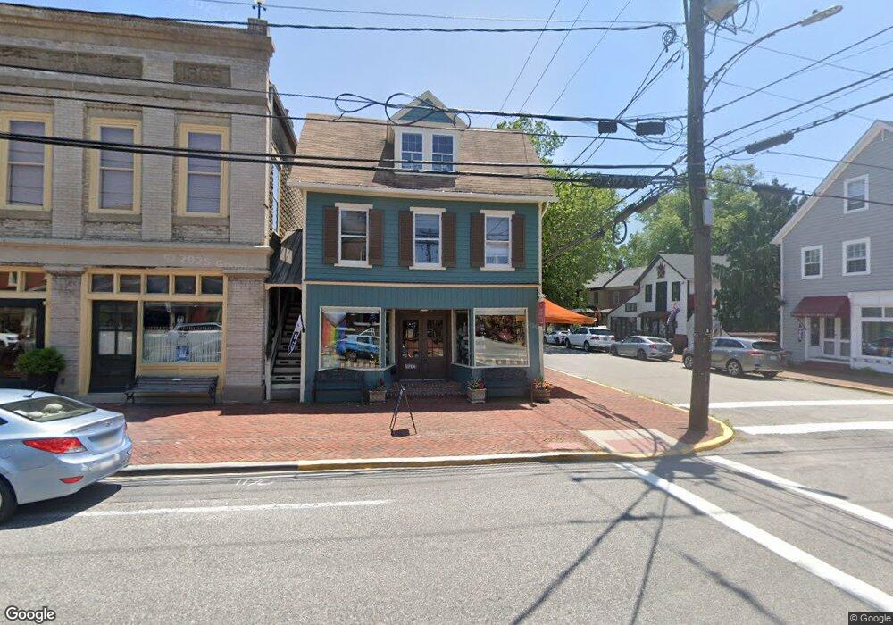
117 S Cross St Chestertown, MD 21620
Estimated Value: $390,393
--
Bed
--
Bath
2,606
Sq Ft
$150/Sq Ft
Est. Value
About This Home
This home is located at 117 S Cross St, Chestertown, MD 21620 and is currently estimated at $390,393, approximately $149 per square foot. 117 S Cross St is a home located in Kent County with nearby schools including Kent County Middle School, Kent County High School, and Chestertown Christian Academy.
Ownership History
Date
Name
Owned For
Owner Type
Purchase Details
Closed on
Feb 14, 2014
Sold by
Cataldo Gerard M and Justice Cataldo Rhonda
Bought by
Havemeyer Christian
Current Estimated Value
Purchase Details
Closed on
Oct 7, 2002
Sold by
River Properties Llc
Bought by
Cataldo Rhonda Justice and Cataldo Gerard M
Purchase Details
Closed on
May 8, 2002
Sold by
Morani John G and Morani Marjorie T
Bought by
River Park Properties Llc
Purchase Details
Closed on
Oct 23, 2000
Sold by
Snyder Snyder J and Snyder Barbara S
Bought by
Morani John G and Morani Marjorie T
Create a Home Valuation Report for This Property
The Home Valuation Report is an in-depth analysis detailing your home's value as well as a comparison with similar homes in the area
Home Values in the Area
Average Home Value in this Area
Purchase History
| Date | Buyer | Sale Price | Title Company |
|---|---|---|---|
| Havemeyer Christian | $220,000 | None Available | |
| Cataldo Rhonda Justice | $275,000 | -- | |
| River Park Properties Llc | $220,000 | -- | |
| Morani John G | $75,000 | -- |
Source: Public Records
Tax History Compared to Growth
Tax History
| Year | Tax Paid | Tax Assessment Tax Assessment Total Assessment is a certain percentage of the fair market value that is determined by local assessors to be the total taxable value of land and additions on the property. | Land | Improvement |
|---|---|---|---|---|
| 2025 | $4,733 | $302,000 | $222,100 | $79,900 |
| 2024 | $4,733 | $302,000 | $222,100 | $79,900 |
| 2023 | $4,799 | $306,200 | $222,100 | $84,100 |
| 2022 | $4,768 | $306,200 | $222,100 | $84,100 |
| 2021 | $4,992 | $306,200 | $222,100 | $84,100 |
| 2020 | $4,992 | $318,500 | $222,100 | $96,400 |
| 2019 | $4,981 | $318,500 | $222,100 | $96,400 |
| 2018 | $4,950 | $318,500 | $222,100 | $96,400 |
| 2017 | $4,968 | $330,300 | $0 | $0 |
| 2016 | -- | $330,300 | $0 | $0 |
| 2015 | $5,660 | $303,200 | $0 | $0 |
| 2014 | $5,660 | $346,100 | $0 | $0 |
Source: Public Records
Map
Nearby Homes
- 206 Cannon St
- 119 High St
- 349 High St
- 349 & 351 High St
- 105 High St
- 206 S Water St
- 110 S Mill St
- 226 S Water St
- 201 Radcliffe Dr
- 117 N Water St Unit 1A
- 117 N Water St Unit 2A
- 108 S Kent St
- 517 High St
- 200 Washington Ave
- 234 N College Ave
- 423 Calvert St
- 624 High St
- 141 Prospect St
- 515 N Kent St
- 221 Richard Dr
- 113 S Cross St
- 111 S Cross St
- 0 Cannon St Unit 1007879282
- 0 Cannon St Unit 1007601798
- 0 Cannon St Unit KE8584459
- 0 Cannon St Unit 1000479973
- 105 S Cross St
- 236 Cannon St Unit B
- 236 Cannon St Unit C
- 236 Cannon St
- 238 Cannon St
- 238 Cannon St Unit B
- 237 Cannon St
- 202 S Cross St
- 234 Cannon St
- 232 Cannon St
- 102 S Cross St
- 103 S Cross St
- 230 Cannon St
- 200 S Cross St