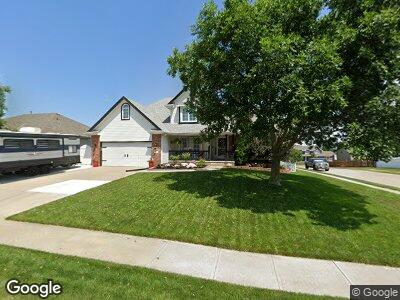
117 S Fall Creek Rd Papillion, NE 68133
East Outlying Papillion NeighborhoodEstimated Value: $386,000 - $404,000
4
Beds
4
Baths
1,862
Sq Ft
$213/Sq Ft
Est. Value
About This Home
This home is located at 117 S Fall Creek Rd, Papillion, NE 68133 and is currently estimated at $396,330, approximately $212 per square foot. 117 S Fall Creek Rd is a home located in Sarpy County with nearby schools including Rumsey Station Elementary School, La Vista Middle School, and Papillion La Vista Senior High School.
Ownership History
Date
Name
Owned For
Owner Type
Purchase Details
Closed on
Sep 3, 1999
Sold by
Prismantas Anthony and Prismantas Birute
Bought by
Henton Michael R and Henton Deidre M
Current Estimated Value
Home Financials for this Owner
Home Financials are based on the most recent Mortgage that was taken out on this home.
Original Mortgage
$171,900
Interest Rate
7.9%
Mortgage Type
Balloon
Purchase Details
Closed on
May 28, 1998
Sold by
Eagle Ridge Development Company
Bought by
Prismantas Anthony
Create a Home Valuation Report for This Property
The Home Valuation Report is an in-depth analysis detailing your home's value as well as a comparison with similar homes in the area
Home Values in the Area
Average Home Value in this Area
Purchase History
| Date | Buyer | Sale Price | Title Company |
|---|---|---|---|
| Henton Michael R | $191,000 | -- | |
| Prismantas Anthony | $27,000 | -- |
Source: Public Records
Mortgage History
| Date | Status | Borrower | Loan Amount |
|---|---|---|---|
| Open | Henton Michael R | $35,000 | |
| Open | Henton Michael R | $206,400 | |
| Closed | Henton Michael R | $35,000 | |
| Closed | Henton Michael R | $182,000 | |
| Closed | Henton Michael R | $24,600 | |
| Closed | Henton Michael R | $181,000 | |
| Closed | Henton Michael R | $26,000 | |
| Closed | Henton Michael R | $171,900 |
Source: Public Records
Tax History Compared to Growth
Tax History
| Year | Tax Paid | Tax Assessment Tax Assessment Total Assessment is a certain percentage of the fair market value that is determined by local assessors to be the total taxable value of land and additions on the property. | Land | Improvement |
|---|---|---|---|---|
| 2024 | $5,855 | $340,974 | $55,000 | $285,974 |
| 2023 | $5,855 | $310,971 | $48,000 | $262,971 |
| 2022 | $5,595 | $274,168 | $42,000 | $232,168 |
| 2021 | $5,349 | $256,931 | $42,000 | $214,931 |
| 2020 | $5,215 | $248,027 | $36,000 | $212,027 |
| 2019 | $4,951 | $235,616 | $36,000 | $199,616 |
| 2018 | $5,125 | $224,038 | $36,000 | $188,038 |
| 2017 | $4,894 | $214,033 | $26,000 | $188,033 |
| 2016 | $4,826 | $210,704 | $26,000 | $184,704 |
| 2015 | $4,667 | $203,612 | $26,000 | $177,612 |
| 2014 | $4,659 | $198,363 | $26,000 | $172,363 |
| 2012 | -- | $196,520 | $26,000 | $170,520 |
Source: Public Records
Map
Nearby Homes
- 112 Longwood Dr
- 111 Longwood Dr
- 211 Longwood Dr
- 2103 John St
- 302 Eagle Ridge Dr
- 2811 John St
- 1910 Skyhawk Ave
- 611 Diamond Ln
- 705 Ruby Rd
- 217 Sumter Cir
- 2209 Park Crest Dr
- 112 Citadel Dr
- 703 Tupelo Ln
- 1301 Troy St
- 1910 Atlas Dr
- 2206 Alexandra Rd
- 1308 Beaufort Dr
- 1916 Apollo Ln
- 6231 Harvest Dr
- 6235 Harvest Dr
- 117 S Fall Creek Rd
- 115 S Fall Creek Rd
- 119 S Fall Creek Rd
- 114 Castle Pine Dr
- 112 Castle Pine Dr
- 113 S Fall Creek Rd
- 2145 Ashwood Ave
- 121 S Fall Creek Rd
- 116 Castle Pine Dr
- 2146 Cobblestone Rd
- 118 Castle Pine Dr
- 2142 Ashwood Ave
- 111 S Fall Creek Rd
- 2143 Ashwood Ave
- 123 S Fall Creek Rd
- 110 Longwood Dr
- 108 Longwood Dr
- 2144 Cobblestone Rd
- 2140 Ashwood Ave
- 120 Castle Pine Dr