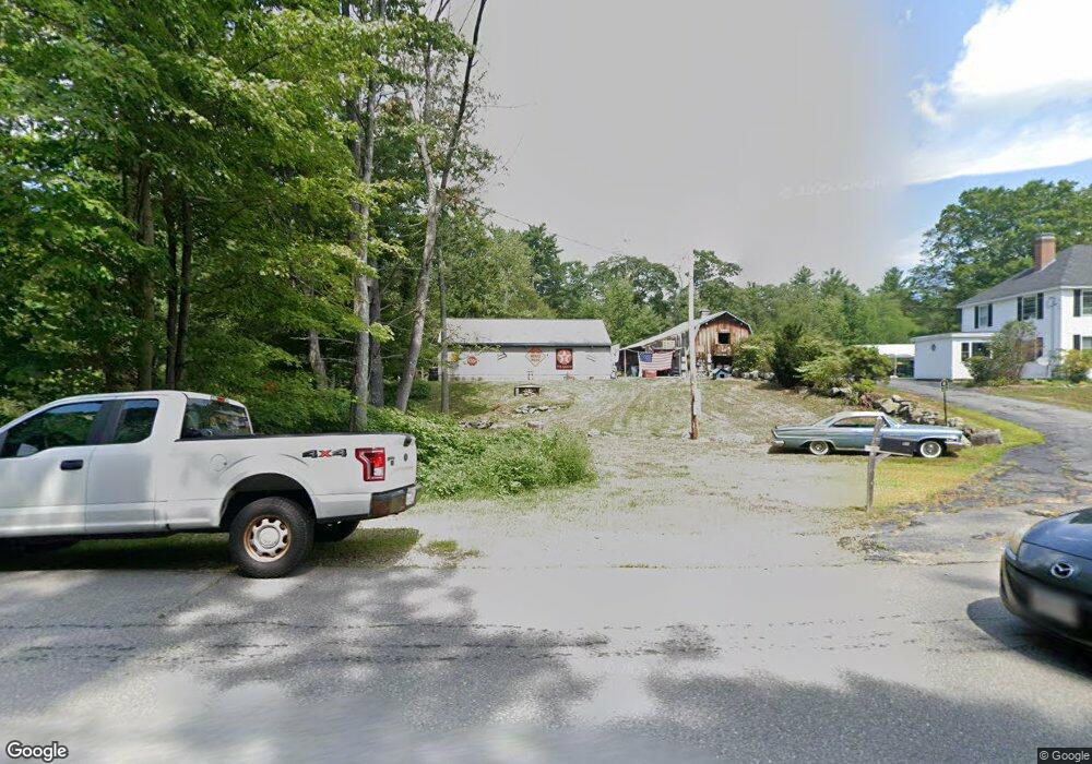
117 School St Rindge, NH 03461
Estimated Value: $376,000 - $635,000
4
Beds
2
Baths
2,677
Sq Ft
$202/Sq Ft
Est. Value
About This Home
This home is located at 117 School St, Rindge, NH 03461 and is currently estimated at $539,537, approximately $201 per square foot. 117 School St is a home located in Cheshire County with nearby schools including Rindge Memorial School, Conant Middle High School, and Conant High School.
Ownership History
Date
Name
Owned For
Owner Type
Purchase Details
Closed on
Apr 15, 2008
Sold by
Donahue Robert J
Bought by
Lashua Brenda S
Current Estimated Value
Home Financials for this Owner
Home Financials are based on the most recent Mortgage that was taken out on this home.
Original Mortgage
$253,600
Interest Rate
6.3%
Mortgage Type
Purchase Money Mortgage
Create a Home Valuation Report for This Property
The Home Valuation Report is an in-depth analysis detailing your home's value as well as a comparison with similar homes in the area
Home Values in the Area
Average Home Value in this Area
Purchase History
| Date | Buyer | Sale Price | Title Company |
|---|---|---|---|
| Lashua Brenda S | $150,000 | -- |
Source: Public Records
Mortgage History
| Date | Status | Borrower | Loan Amount |
|---|---|---|---|
| Open | Lashua Brenda S | $246,300 | |
| Closed | Lashua Brenda S | $255,000 | |
| Closed | Lashua Brenda S | $253,600 |
Source: Public Records
Tax History Compared to Growth
Tax History
| Year | Tax Paid | Tax Assessment Tax Assessment Total Assessment is a certain percentage of the fair market value that is determined by local assessors to be the total taxable value of land and additions on the property. | Land | Improvement |
|---|---|---|---|---|
| 2024 | $9,043 | $357,300 | $54,800 | $302,500 |
| 2023 | $8,947 | $357,300 | $54,800 | $302,500 |
| 2022 | $7,835 | $340,200 | $54,800 | $285,400 |
| 2021 | $7,706 | $340,200 | $54,800 | $285,400 |
| 2020 | $7,637 | $340,200 | $54,800 | $285,400 |
| 2019 | $5,955 | $214,500 | $43,500 | $171,000 |
| 2018 | $5,899 | $214,500 | $43,500 | $171,000 |
| 2017 | $5,832 | $214,500 | $43,500 | $171,000 |
| 2016 | $5,987 | $214,500 | $43,500 | $171,000 |
| 2015 | $5,982 | $214,500 | $43,500 | $171,000 |
| 2014 | $6,737 | $258,800 | $69,500 | $189,300 |
| 2013 | $6,895 | $270,800 | $69,500 | $201,300 |
Source: Public Records
Map
Nearby Homes
- 7 Emerson Dr
- Lot 4 Saybrook Dr
- 110 Red Gate Ln
- 11 Mark St
- 46 Swan Point Rd
- 20 W Main St
- 28 Wellington Rd
- Lot 1 Saybrook Dr
- Lot 2 Saybrook Dr
- Lot 15-0 Saybrook Dr
- Lot 14 Saybrook Dr
- 39 Willow Ln
- 41 Willow Ln
- 31 Willow Ln
- 37 Willow Ln
- 19 Monomonac Terrace
- 40 Maple Dr
- 0 Thomas Rd Unit 10 5014817
- 64 Old Ashburnham Rd
- 634 Old New Ipswich Rd
- 16 School St
- 0 Sandy Cove Rd
- 26 Crowcroft Dr
- 0 Cutter Hill Rd
- 90 School St
- 102 School St
- Lot 04-46-00 New Hampshire 119
- Lot 54/55 New Hampshire 119 Unit 54/55
- 9-13-2-2 New Hampshire 119
- 14 Sandy Cove Rd
- 83 School St
- 976 Nh Route 119
- 31 Crowcroft Dr
- 112 Butterfield Rd
- 1003 Nh Route 119
- 1003 Nh Route 119
- 81 School St
- 1006 Nh Route 119
- 69 School St
- 921 Nh Route 119