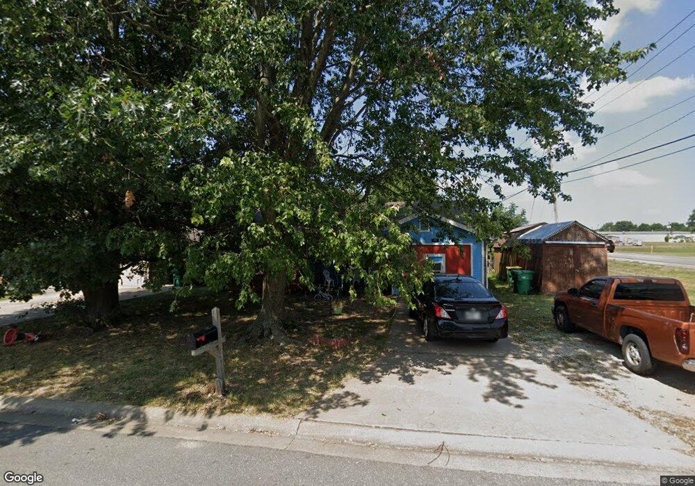
117 Southland St Centerton, AR 72719
Estimated Value: $68,000 - $240,000
--
Bed
2
Baths
1,354
Sq Ft
$121/Sq Ft
Est. Value
About This Home
This home is located at 117 Southland St, Centerton, AR 72719 and is currently estimated at $163,712, approximately $120 per square foot. 117 Southland St is a home located in Benton County with nearby schools including Vaughn Elementary, Grimsley Junior High School, and Creekside Middle School.
Ownership History
Date
Name
Owned For
Owner Type
Purchase Details
Closed on
Jun 27, 2025
Sold by
Durham Walter Linn and Durham Carolyn Diana
Bought by
Arkansas State Highway Commission
Current Estimated Value
Purchase Details
Closed on
Dec 6, 2000
Bought by
Durham
Purchase Details
Closed on
Nov 24, 1999
Bought by
Elliott and Elliott Elliott
Purchase Details
Closed on
Sep 10, 1998
Bought by
Grimm
Purchase Details
Closed on
Oct 9, 1997
Bought by
Setters
Purchase Details
Closed on
Aug 5, 1991
Bought by
Setters
Create a Home Valuation Report for This Property
The Home Valuation Report is an in-depth analysis detailing your home's value as well as a comparison with similar homes in the area
Home Values in the Area
Average Home Value in this Area
Purchase History
| Date | Buyer | Sale Price | Title Company |
|---|---|---|---|
| Arkansas State Highway Commission | $114,377 | None Listed On Document | |
| Arkansas State Highway Commission | $67,707 | None Listed On Document | |
| Durham | $59,000 | -- | |
| Elliott | $56,000 | -- | |
| Grimm | -- | -- | |
| Setters | -- | -- | |
| Setters | $8,000 | -- |
Source: Public Records
Tax History Compared to Growth
Tax History
| Year | Tax Paid | Tax Assessment Tax Assessment Total Assessment is a certain percentage of the fair market value that is determined by local assessors to be the total taxable value of land and additions on the property. | Land | Improvement |
|---|---|---|---|---|
| 2025 | -- | -- | -- | -- |
| 2024 | $1,190 | $38,447 | $15,000 | $23,447 |
| 2023 | $1,133 | $24,380 | $7,600 | $16,780 |
| 2022 | $735 | $24,380 | $7,600 | $16,780 |
| 2021 | $676 | $24,380 | $7,600 | $16,780 |
| 2020 | $640 | $15,960 | $2,800 | $13,160 |
| 2019 | $640 | $15,960 | $2,800 | $13,160 |
| 2018 | $665 | $15,960 | $2,800 | $13,160 |
| 2017 | $582 | $15,960 | $2,800 | $13,160 |
| 2016 | $582 | $15,960 | $2,800 | $13,160 |
| 2015 | $892 | $14,460 | $2,800 | $11,660 |
| 2014 | $542 | $14,460 | $2,800 | $11,660 |
Source: Public Records
Map
Nearby Homes
- 291 Jack Perry Dr
- 8721 Anise Dr
- 8801 Anise Dr
- 1410 Emmerson St
- 397 Thompson St
- 930 Thornwood Place
- 940 Thornwood Place
- 920 Thornwood Place
- 1431 Ari Ave
- 211 Sun Meadow Dr
- 202 Shane Dr
- 392 N Main St
- 770 Dogwood St
- 200 Kristen Ln
- 251 Kristen Ln
- 221 Kristen Ln
- 260 Kristen Ln
- 211 Kristen Ln
- 220 Kristen Ln
- 240 Kristen Ln
- 129 Southland St
- 137 Southland St
- 116 Southland St
- 116 Township Dr
- 128 Southland St
- 128 Township Dr
- 136 Southland St
- 151 Southland St
- 431 W Centerton Blvd
- 401 W Centerton Blvd
- 423 W Centerton Blvd
- 425 W Centerton Blvd
- 429 W Centerton Blvd
- 146 Township Dr
- 150 Southland St
- 437 W Centerton Blvd
- 514 W Centerton Blvd
- 167 Southland St
- 433 W Centerton Blvd
- 19.22AC N D St