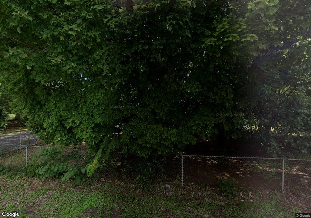
117 Swafford Rd Soddy Daisy, TN 37379
Estimated Value: $184,000 - $265,000
--
Bed
--
Bath
1,301
Sq Ft
$172/Sq Ft
Est. Value
About This Home
This home is located at 117 Swafford Rd, Soddy Daisy, TN 37379 and is currently estimated at $223,415, approximately $171 per square foot. 117 Swafford Rd is a home located in Hamilton County with nearby schools including Ivy Academy Inc and New South Daisy Christian Academy.
Ownership History
Date
Name
Owned For
Owner Type
Purchase Details
Closed on
Aug 23, 2022
Sold by
Stringer 9 Llc
Bought by
Tallent Susan W
Current Estimated Value
Purchase Details
Closed on
May 21, 2021
Sold by
Tallent Susan W
Bought by
Stringer 9 Jllc
Purchase Details
Closed on
Jan 28, 2010
Sold by
Rice Orleanas L
Bought by
Tallent Charles W
Home Financials for this Owner
Home Financials are based on the most recent Mortgage that was taken out on this home.
Original Mortgage
$281,450
Interest Rate
5.01%
Mortgage Type
Seller Take Back
Create a Home Valuation Report for This Property
The Home Valuation Report is an in-depth analysis detailing your home's value as well as a comparison with similar homes in the area
Home Values in the Area
Average Home Value in this Area
Purchase History
| Date | Buyer | Sale Price | Title Company |
|---|---|---|---|
| Tallent Susan W | -- | Foundation Title | |
| Stringer 9 Jllc | $625,000 | Foundation T&E Llc | |
| Tallent Susan | -- | Foundation T&E Llc | |
| Tallent Charles W | $281,450 | None Available |
Source: Public Records
Mortgage History
| Date | Status | Borrower | Loan Amount |
|---|---|---|---|
| Previous Owner | Tallent Charles W | $281,450 |
Source: Public Records
Tax History Compared to Growth
Tax History
| Year | Tax Paid | Tax Assessment Tax Assessment Total Assessment is a certain percentage of the fair market value that is determined by local assessors to be the total taxable value of land and additions on the property. | Land | Improvement |
|---|---|---|---|---|
| 2024 | $423 | $18,900 | $0 | $0 |
| 2023 | $643 | $18,900 | $0 | $0 |
| 2022 | $643 | $18,900 | $0 | $0 |
| 2021 | $7,287 | $216,785 | $0 | $0 |
| 2020 | $6,099 | $147,675 | $0 | $0 |
| 2019 | $6,099 | $147,675 | $0 | $0 |
| 2018 | $6,099 | $147,675 | $0 | $0 |
| 2017 | $6,099 | $147,675 | $0 | $0 |
| 2016 | $6,250 | $0 | $0 | $0 |
| 2015 | $6,250 | $151,355 | $0 | $0 |
| 2014 | $6,250 | $0 | $0 | $0 |
Source: Public Records
Map
Nearby Homes
- 9019 Springfield Rd
- 212 W Walden Cir
- 8625 Boxwood Ln
- 123 Summers Dr
- 206 Pine St
- 9212 Dayton Pike
- 921 Rose Marie Ct
- 9254 Springfield Rd
- 208 Thrasher Pike
- 9327 Springfield Rd
- 9331 Dayton Pike
- 132 Meadowview Ln
- 0 Wedge Way Unit 1389915
- 9009 Brow Lake Rd
- 926 Montlake Rd
- 1043 Montlake Rd
- 1041 Montlake Rd
- 1037 Montlake Rd
- 1109 Montlake Rd
- 8834 Gann Rd
- 113 Swafford Rd
- 125 Swafford Rd
- 114 Luttrell Dr
- 120 Luttrell Dr
- 118 Luttrell Dr
- 105 Gravett Rd
- 105 Gravitt Rd
- 122 Luttrell Dr
- 110 Luttrell Dr
- 8700 Dayton Pike
- 120 Swafford Rd
- 109 Swafford Rd
- 124 Luttrell Dr
- 122 Swafford Rd
- 117 Luttrell Dr
- 131 Swafford Rd
- 8849 Dayton Pike
- 8855 Dayton Pike
- 119 Luttrell Dr
- 8818 Springfield Rd
