117 W Morgan St Port Saint Joe, FL 32456
Estimated Value: $76,266
2
Beds
2
Baths
1,150
Sq Ft
$66/Sq Ft
Est. Value
About This Home
This home is located at 117 W Morgan St, Port Saint Joe, FL 32456 and is currently estimated at $76,266, approximately $66 per square foot. 117 W Morgan St is a home located in Gulf County.
Ownership History
Date
Name
Owned For
Owner Type
Purchase Details
Closed on
Nov 10, 2022
Sold by
Schultz Mary E
Bought by
Carter Scott B and Carter Leah M
Current Estimated Value
Home Financials for this Owner
Home Financials are based on the most recent Mortgage that was taken out on this home.
Original Mortgage
$56,250
Interest Rate
6.92%
Mortgage Type
New Conventional
Purchase Details
Closed on
Jun 10, 2004
Sold by
Norris Pamela J
Bought by
Schultz Mary E
Create a Home Valuation Report for This Property
The Home Valuation Report is an in-depth analysis detailing your home's value as well as a comparison with similar homes in the area
Home Values in the Area
Average Home Value in this Area
Purchase History
| Date | Buyer | Sale Price | Title Company |
|---|---|---|---|
| Carter Scott B | $75,000 | -- | |
| Carter Scott B | $75,000 | None Listed On Document | |
| Schultz Mary E | $65,000 | -- |
Source: Public Records
Mortgage History
| Date | Status | Borrower | Loan Amount |
|---|---|---|---|
| Closed | Carter Scott B | $56,250 |
Source: Public Records
Tax History Compared to Growth
Tax History
| Year | Tax Paid | Tax Assessment Tax Assessment Total Assessment is a certain percentage of the fair market value that is determined by local assessors to be the total taxable value of land and additions on the property. | Land | Improvement |
|---|---|---|---|---|
| 2025 | $1,008 | $88,060 | $80,000 | $8,060 |
| 2024 | $1,048 | $88,718 | $80,000 | $8,718 |
| 2023 | $1,113 | $89,376 | $80,000 | $9,376 |
| 2022 | $679 | $80,034 | $70,000 | $10,034 |
| 2021 | $450 | $40,694 | $30,000 | $10,694 |
| 2020 | $383 | $31,408 | $20,056 | $11,352 |
| 2019 | $313 | $22,252 | $10,900 | $11,352 |
| 2018 | $337 | $23,568 | $0 | $0 |
| 2017 | $584 | $43,846 | $0 | $0 |
| 2016 | $516 | $34,744 | $0 | $0 |
| 2015 | $532 | $34,882 | $0 | $0 |
| 2014 | $501 | $34,882 | $0 | $0 |
Source: Public Records
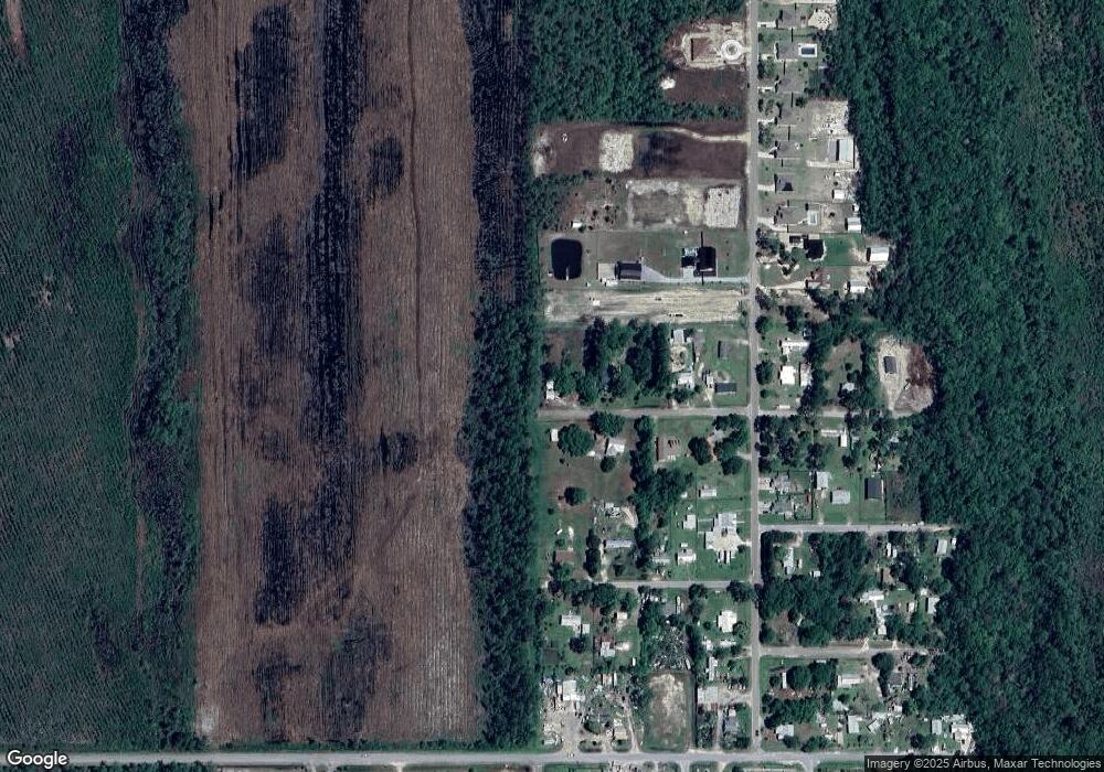
Map
Nearby Homes
- Lot 11 W Rogers St
- Lot 9 Jones Homestead Rd
- Lot 10 Jones Homestead Rd
- 644 Jones Homestead Rd
- 110 Tyler Terrace
- 112 Tyler Terrace
- 378 Jones Homestead Rd
- Lot 21 Palm Breeze Way
- Lot 15 Cape Plantation Rd
- Lot 13 Cape Plantation Rd
- Lot 16 Cape Plantation Rd
- Lot 14 Cape Plantation Rd
- 182 Palm Breeze Way
- 656 Norris Dr
- 648 Norris Dr
- The Alabaster Plan at Buffer Farms
- The Rhett Plan at Buffer Farms
- The Delray Plan at Buffer Farms
- 682 Norris Dr
- The Kennedy Plan at Buffer Farms
- 113 W Morgan St
- 139 W Morgan St
- 114 W Morgan St
- 110 W Morgan St
- 107 W Morgan St
- 115 W Rogers St
- 619 Jones Homestead Rd
- 713 Jones Homestead Rd
- 107 W Rogers St
- 109 W Rogers St
- 165 Morgan St
- 743 Jones Homestead Rd
- 118 W Rogers St
- 110 W Rogers St
- 736 Jones Homestead Rd
- 734 Jones Homestead Rd
- 734736 Jones Homestead Rd
- 740 Jones Homestead Rd Unit 742
- 740742 Jones Homestead Rd
- 740 742 Jones Homestead Rd