117 Wes Locke Rd Barnstead, NH 03218
Estimated Value: $242,000 - $337,000
1
Bed
1
Bath
855
Sq Ft
$325/Sq Ft
Est. Value
About This Home
This home is located at 117 Wes Locke Rd, Barnstead, NH 03218 and is currently estimated at $277,851, approximately $324 per square foot. 117 Wes Locke Rd is a home with nearby schools including Barnstead Elementary School and Prospect Mountain High School.
Ownership History
Date
Name
Owned For
Owner Type
Purchase Details
Closed on
Jun 15, 2000
Sold by
Tiede Rental Inc
Bought by
Viera Isaias and Viera Maria
Current Estimated Value
Home Financials for this Owner
Home Financials are based on the most recent Mortgage that was taken out on this home.
Original Mortgage
$66,370
Outstanding Balance
$23,431
Interest Rate
8.24%
Estimated Equity
$254,420
Create a Home Valuation Report for This Property
The Home Valuation Report is an in-depth analysis detailing your home's value as well as a comparison with similar homes in the area
Home Values in the Area
Average Home Value in this Area
Purchase History
| Date | Buyer | Sale Price | Title Company |
|---|---|---|---|
| Viera Isaias | $66,400 | -- | |
| Viera Isaias | $66,400 | -- |
Source: Public Records
Mortgage History
| Date | Status | Borrower | Loan Amount |
|---|---|---|---|
| Open | Viera Isaias | $66,370 | |
| Closed | Viera Isaias | $66,370 |
Source: Public Records
Tax History Compared to Growth
Tax History
| Year | Tax Paid | Tax Assessment Tax Assessment Total Assessment is a certain percentage of the fair market value that is determined by local assessors to be the total taxable value of land and additions on the property. | Land | Improvement |
|---|---|---|---|---|
| 2024 | $2,262 | $138,700 | $74,200 | $64,500 |
| 2023 | $1,990 | $138,700 | $74,200 | $64,500 |
| 2022 | $1,637 | $75,800 | $30,200 | $45,600 |
| 2021 | $1,665 | $75,800 | $30,200 | $45,600 |
| 2020 | $1,751 | $75,800 | $30,200 | $45,600 |
| 2019 | $1,731 | $75,800 | $30,200 | $45,600 |
| 2018 | $1,687 | $75,800 | $30,200 | $45,600 |
| 2017 | $1,798 | $62,200 | $25,400 | $36,800 |
| 2016 | $1,485 | $54,500 | $25,400 | $29,100 |
| 2015 | $1,480 | $54,500 | $25,400 | $29,100 |
| 2014 | $1,402 | $58,500 | $25,400 | $33,100 |
| 2013 | $1,086 | $46,200 | $25,400 | $20,800 |
Source: Public Records
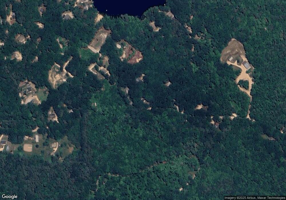
Map
Nearby Homes
- 22-54 Red Oak Rd
- 41 Pinepark Dr
- 93 E Huntress Pond Rd
- 4 Parade Cir
- M10 L26-3 Valley Dam Rd
- 4 Sandy Point Rd
- 109 Shackford Corner Rd
- 16 Ridge Rd
- L33 Province Rd
- 260 Garland Rd
- M2-l29-2 Province Rd
- Lot 33 Ridge Rd
- 11 Gray Rd
- 277 Shackford Corner Rd
- 371 Province Rd
- 0 Shaw Rd Unit 36-1
- 25 Vail Rd
- 77 Vail Rd
- L68-1 Vail Rd
- 109 Vail Rd
- 123 Wes Locke Rd
- 20 Red Oak Rd
- 24 Red Oak Rd
- 107 Wes Locke Rd
- 9 Red Oak Rd
- 130-132 Wes Locke Rd
- 22 Red Oak Rd
- Map 22 - Lot 60 Red Oak Rd
- 1 Red Oak Rd
- 35 Red Oak Rd
- 6 White Birch Rd
- 103 White Birch Rd
- 97 Wes Locke Rd
- 39 Red Oak Rd
- 373 Suncook Valley Rd
- Lots 54 and 55 Red Oak Rd
- 147 Wes Locke Rd
- 18 White Birch Rd
- 36 Pond View Dr
- 0 White Birch Rd