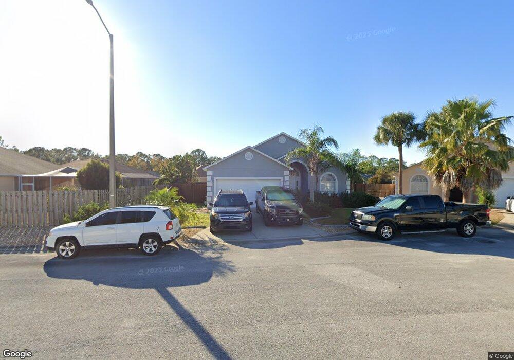
117 Westport Ln Davenport, FL 33896
Estimated Value: $359,000 - $387,000
4
Beds
3
Baths
1,780
Sq Ft
$208/Sq Ft
Est. Value
About This Home
This home is located at 117 Westport Ln, Davenport, FL 33896 and is currently estimated at $369,645, approximately $207 per square foot. 117 Westport Ln is a home located in Polk County with nearby schools including Davenport School Of The Arts, Loughman Oaks Elementary School, and Dundee Elementary Academy.
Ownership History
Date
Name
Owned For
Owner Type
Purchase Details
Closed on
Apr 11, 2007
Sold by
Malcher Kay and Malcher Andrew
Bought by
Link Darran
Current Estimated Value
Home Financials for this Owner
Home Financials are based on the most recent Mortgage that was taken out on this home.
Original Mortgage
$192,000
Outstanding Balance
$122,944
Interest Rate
7.25%
Mortgage Type
Purchase Money Mortgage
Estimated Equity
$246,701
Purchase Details
Closed on
Aug 8, 2001
Sold by
Malcher Andrew and Malcher Kay
Bought by
Malcher Kay
Purchase Details
Closed on
Jan 19, 2001
Sold by
Bridgewater Crossing Limited
Bought by
Malcher Andrew and Malcher Kay
Home Financials for this Owner
Home Financials are based on the most recent Mortgage that was taken out on this home.
Original Mortgage
$154,250
Interest Rate
7.53%
Mortgage Type
New Conventional
Create a Home Valuation Report for This Property
The Home Valuation Report is an in-depth analysis detailing your home's value as well as a comparison with similar homes in the area
Home Values in the Area
Average Home Value in this Area
Purchase History
| Date | Buyer | Sale Price | Title Company |
|---|---|---|---|
| Link Darran | $240,000 | Leading Edge Title Partners | |
| Malcher Kay | -- | -- | |
| Malcher Andrew | $192,900 | -- |
Source: Public Records
Mortgage History
| Date | Status | Borrower | Loan Amount |
|---|---|---|---|
| Open | Link Darran | $192,000 | |
| Previous Owner | Malcher Andrew | $154,250 |
Source: Public Records
Tax History Compared to Growth
Tax History
| Year | Tax Paid | Tax Assessment Tax Assessment Total Assessment is a certain percentage of the fair market value that is determined by local assessors to be the total taxable value of land and additions on the property. | Land | Improvement |
|---|---|---|---|---|
| 2025 | $4,259 | $291,592 | -- | -- |
| 2024 | $3,934 | $265,084 | -- | -- |
| 2023 | $3,934 | $240,985 | $0 | $0 |
| 2022 | $3,478 | $219,077 | $0 | $0 |
| 2021 | $3,209 | $199,161 | $26,500 | $172,661 |
| 2020 | $3,092 | $191,451 | $25,000 | $166,451 |
| 2018 | $2,820 | $167,307 | $24,000 | $143,307 |
| 2017 | $2,681 | $158,321 | $0 | $0 |
| 2016 | $2,478 | $143,928 | $0 | $0 |
| 2015 | $2,043 | $133,310 | $0 | $0 |
| 2014 | $2,124 | $121,191 | $0 | $0 |
Source: Public Records
Map
Nearby Homes
- 341 Whittier St
- 669 Lake Shore Pkwy
- 516 Lake Shore Pkwy
- 486 Lake Shore Pkwy
- 470 Lake Shore Pkwy
- 222 Darlington Loop
- 407 Darlington Loop
- 143 Hollingshead Loop
- 235 Hollingshead Loop
- 245 Hollingshead Loop
- 456 Lake Shore Pkwy
- 454 Lake Shore Pkwy
- 307 Balmoral Ct
- 450 Lake Shore Pkwy
- 100 Sunridge Woods Ct
- 368 Sand Ridge Dr
- 178 Forest View Dr
- 426 Wild Forrest Dr
- 319 Sand Ridge Dr
- 157 Forest View Ct
- 127 Westport Ln
- 216 Whittier St
- 236 Whittier St
- 310 Whittier St
- 320 Whittier St
- 124 Whittier St
- 340 Whittier St
- 114 Whittier St
- 101 Tee Garden Way
- 126 Westport Ln
- 111 Tee Garden Way
- 136 Westport Ln
- 360 Whittier St
- 217 Whittier St
- 227 Whittier St
- 207 Whittier St
- 125 Whittier St
- 237 Whittier St
- 121 Tee Garden Way