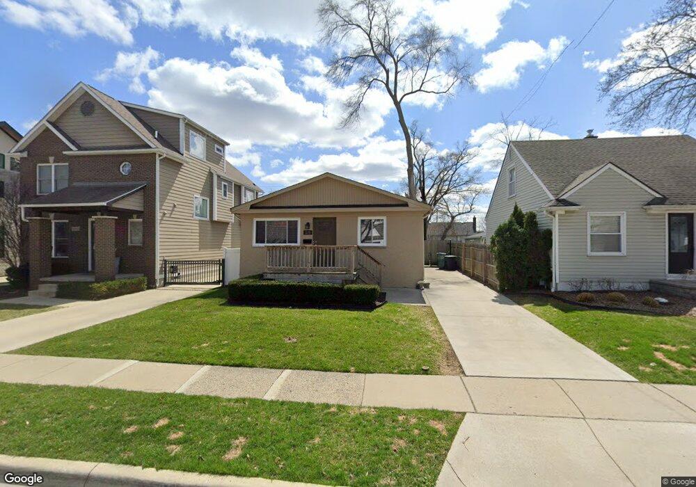
1170 Cole St Unit Bldg-Unit Birmingham, MI 48009
Estimated Value: $375,000 - $508,000
3
Beds
2
Baths
1,041
Sq Ft
$420/Sq Ft
Est. Value
About This Home
This home is located at 1170 Cole St Unit Bldg-Unit, Birmingham, MI 48009 and is currently estimated at $437,048, approximately $419 per square foot. 1170 Cole St Unit Bldg-Unit is a home located in Oakland County with nearby schools including Pembroke Elementary School, Derby Middle School, and Ernest W. Seaholm High School.
Ownership History
Date
Name
Owned For
Owner Type
Purchase Details
Closed on
May 12, 2017
Sold by
Jola Real Estate Investments Llc
Bought by
Srk Blue Ventures Llc
Current Estimated Value
Purchase Details
Closed on
Feb 25, 2014
Sold by
Lalonde Collin George
Bought by
Jola Real Estate Investments Llc
Purchase Details
Closed on
Dec 9, 2011
Sold by
Oakland County Treasurer
Bought by
Lalonde Josephine G
Create a Home Valuation Report for This Property
The Home Valuation Report is an in-depth analysis detailing your home's value as well as a comparison with similar homes in the area
Home Values in the Area
Average Home Value in this Area
Purchase History
| Date | Buyer | Sale Price | Title Company |
|---|---|---|---|
| Srk Blue Ventures Llc | $218,000 | None Available | |
| Jola Real Estate Investments Llc | -- | None Available | |
| Lalonde Josephine G | $7,768 | None Available |
Source: Public Records
Tax History Compared to Growth
Tax History
| Year | Tax Paid | Tax Assessment Tax Assessment Total Assessment is a certain percentage of the fair market value that is determined by local assessors to be the total taxable value of land and additions on the property. | Land | Improvement |
|---|---|---|---|---|
| 2024 | $6,073 | $184,560 | $0 | $0 |
| 2023 | $5,796 | $171,940 | $0 | $0 |
| 2022 | $6,987 | $161,640 | $0 | $0 |
| 2021 | $6,812 | $153,880 | $0 | $0 |
| 2020 | $5,402 | $145,590 | $0 | $0 |
| 2019 | $6,692 | $135,220 | $0 | $0 |
| 2018 | $6,543 | $123,990 | $0 | $0 |
| 2017 | $5,466 | $111,940 | $0 | $0 |
| 2016 | $5,443 | $109,760 | $0 | $0 |
| 2015 | -- | $101,710 | $0 | $0 |
| 2014 | -- | $84,940 | $0 | $0 |
| 2011 | -- | $84,650 | $0 | $0 |
Source: Public Records
Map
Nearby Homes
- 1211 E Lincoln St
- 1308 E Lincoln St
- 1324 Holland St
- 1365 Holland St
- 1323 Bennaville Ave
- 1544 Ruffner Ave
- 1571 Ruffner Ave
- 1476 Humphrey Ave
- 967 Ann St
- 1002 Ann St
- 907 Ann St
- 787 Ann St
- 475 S Adams Rd
- 512 George St
- 1268 Davis Ave
- 870 Davis Ave
- 1673 Hazel St
- 1678 Taunton Rd
- 1963 Cole St
- 1982 E Lincoln St
- 1170 Cole St
- 1192 Cole St
- 1158 Cole St
- 1222 Cole St
- 1191 E Lincoln St
- 1175 E Lincoln St
- 1228 Cole St
- 1155 E Lincoln St
- 1235 E Lincoln St
- 1244 Cole St
- 1245 E Lincoln St
- 1189 Cole St
- 1171 Cole St
- 1201 Cole St Unit Bldg-Unit
- 1201 Cole St
- 1159 Cole St
- 1272 Cole St
- 1253 E Lincoln St
- 1229 Cole St
- 1277 E Lincoln St