1170 County Rd 112 Unit 112 Florissant, CO 80816
Estimated Value: $443,000 - $703,214
4
Beds
3
Baths
3,456
Sq Ft
$167/Sq Ft
Est. Value
About This Home
This home is located at 1170 County Rd 112 Unit 112, Florissant, CO 80816 and is currently estimated at $576,804, approximately $166 per square foot. 1170 County Rd 112 Unit 112 is a home located in Teller County with nearby schools including Cresson Elementary School and Cripple Creek-Victor Junior/Senior High School.
Ownership History
Date
Name
Owned For
Owner Type
Purchase Details
Closed on
Sep 14, 2018
Sold by
Donna K Strait Living Trust
Bought by
Earle Michael and Earle Kristie
Current Estimated Value
Home Financials for this Owner
Home Financials are based on the most recent Mortgage that was taken out on this home.
Original Mortgage
$368,000
Outstanding Balance
$320,947
Interest Rate
4.6%
Mortgage Type
New Conventional
Estimated Equity
$255,857
Purchase Details
Closed on
Jun 7, 2011
Sold by
Strait Donna K
Bought by
The Donna K Strait Living Trust
Purchase Details
Closed on
Dec 22, 1998
Bought by
Strait Donna K Living Trust
Purchase Details
Closed on
Oct 10, 1994
Bought by
Strait Donna K Living Trust
Create a Home Valuation Report for This Property
The Home Valuation Report is an in-depth analysis detailing your home's value as well as a comparison with similar homes in the area
Home Values in the Area
Average Home Value in this Area
Purchase History
| Date | Buyer | Sale Price | Title Company |
|---|---|---|---|
| Earle Michael | $460,000 | Unified Title Co | |
| The Donna K Strait Living Trust | -- | None Available | |
| Strait Donna K Living Trust | $106,000 | -- | |
| Strait Donna K Living Trust | -- | -- |
Source: Public Records
Mortgage History
| Date | Status | Borrower | Loan Amount |
|---|---|---|---|
| Open | Earle Michael | $368,000 |
Source: Public Records
Tax History Compared to Growth
Tax History
| Year | Tax Paid | Tax Assessment Tax Assessment Total Assessment is a certain percentage of the fair market value that is determined by local assessors to be the total taxable value of land and additions on the property. | Land | Improvement |
|---|---|---|---|---|
| 2024 | $1,050 | $34,080 | $17,590 | $16,490 |
| 2023 | $1,050 | $34,080 | $17,590 | $16,490 |
| 2022 | $914 | $27,910 | $14,260 | $13,650 |
| 2021 | $950 | $28,710 | $14,670 | $14,040 |
| 2020 | $859 | $26,360 | $16,590 | $9,770 |
| 2019 | $853 | $26,360 | $0 | $0 |
| 2018 | $800 | $22,550 | $0 | $0 |
| 2017 | $816 | $22,550 | $0 | $0 |
| 2016 | $1,046 | $28,110 | $0 | $0 |
| 2015 | $1,044 | $28,110 | $0 | $0 |
| 2014 | $771 | $21,210 | $0 | $0 |
Source: Public Records
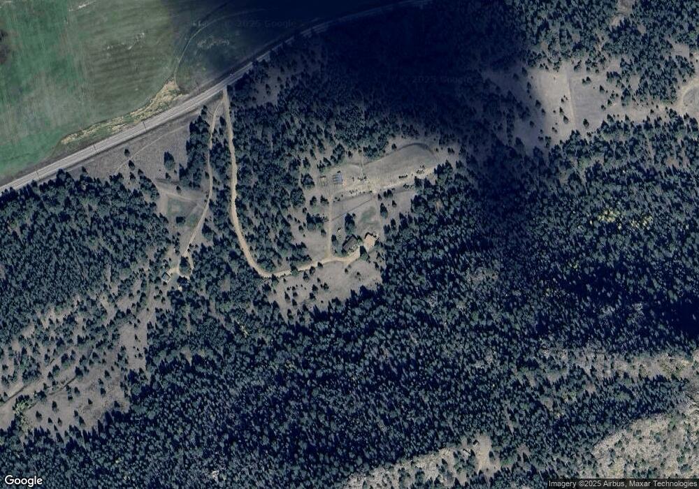
Map
Nearby Homes
- 67 Mohawk Cir
- 55 Arapahoe Dr
- 66 Shawnee Place
- 125 Comanche Cir
- 1703 Arapahoe Dr
- 305 Comanche Dr
- 324 Pike View Rd
- 487 Pike View Rd
- 2 Golden Eagle Heights
- 313 Elliott Dr
- 5915 County Road 11
- 1439 County Road 111
- 325 Spring Valley Dr
- 466 Spring Valley Dr Unit 18
- 524 Spring Valley Ln
- 525 Spring Valley Ln
- 1840 Lakemoor Dr
- 2255 County Rd 111
- 2332 Teller County Road 111
- 79 Ranch View Dr
- 1118 County Rd 112
- 1192 County Rd 112
- 1298 County Road 112
- 33 Mohawk Cir
- 378 Arapahoe Dr
- 378 Arapahoe Dr
- 378 Arapahoe Dr
- 169 Mohawk Cir
- 1086 County 112 Rd
- 1086 County Rd 112
- 1230 Diamondback Trail
- 455 Lost Canyon Heights
- 1086 112
- 132 Mohawk Cir
- 886 Arapahoe Dr
- 420 Arapahoe Dr
- 58 Mohawk Cir
- 770 Arapahoe Dr
- 773 Arapahoe Dr
- 516 Arapahoe Dr