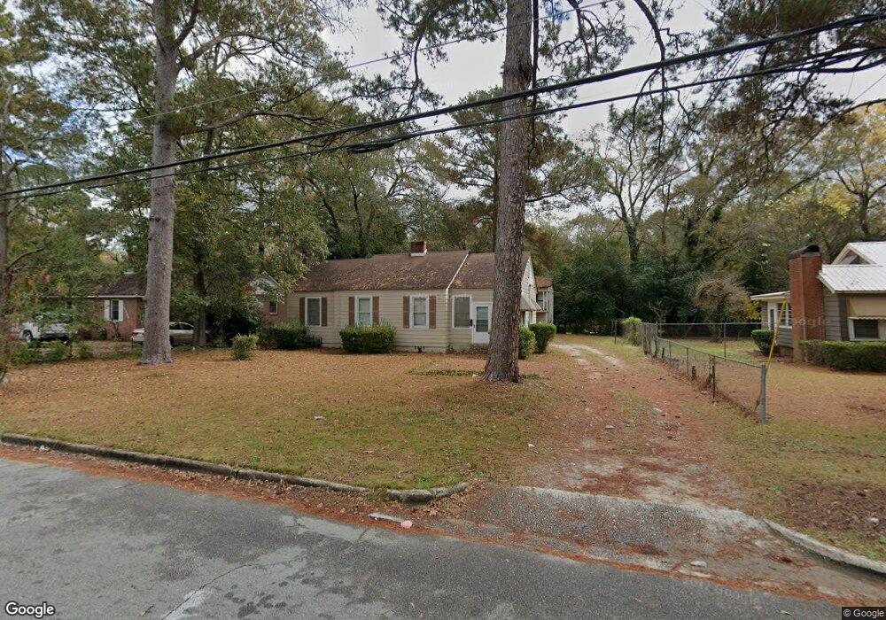
1170 Radio Dr Macon, GA 31204
Estimated Value: $73,022 - $118,000
2
Beds
1
Bath
1,158
Sq Ft
$74/Sq Ft
Est. Value
About This Home
This home is located at 1170 Radio Dr, Macon, GA 31204 and is currently estimated at $85,756, approximately $74 per square foot. 1170 Radio Dr is a home located in Bibb County with nearby schools including John Robert Lewis Elementary School, Weaver Middle School, and Westside High School.
Ownership History
Date
Name
Owned For
Owner Type
Purchase Details
Closed on
Dec 20, 2004
Bought by
Sams Helen A
Current Estimated Value
Home Financials for this Owner
Home Financials are based on the most recent Mortgage that was taken out on this home.
Original Mortgage
$60,000
Outstanding Balance
$29,702
Interest Rate
5.66%
Mortgage Type
New Conventional
Estimated Equity
$56,054
Purchase Details
Closed on
Sep 21, 1998
Create a Home Valuation Report for This Property
The Home Valuation Report is an in-depth analysis detailing your home's value as well as a comparison with similar homes in the area
Home Values in the Area
Average Home Value in this Area
Purchase History
| Date | Buyer | Sale Price | Title Company |
|---|---|---|---|
| Sams Helen A | $60,000 | -- | |
| Sams Helen A | $60,000 | None Avilabel | |
| -- | $62,500 | -- |
Source: Public Records
Mortgage History
| Date | Status | Borrower | Loan Amount |
|---|---|---|---|
| Open | Sams Helen A | $60,000 | |
| Closed | Sams Helen A | $60,000 |
Source: Public Records
Tax History Compared to Growth
Tax History
| Year | Tax Paid | Tax Assessment Tax Assessment Total Assessment is a certain percentage of the fair market value that is determined by local assessors to be the total taxable value of land and additions on the property. | Land | Improvement |
|---|---|---|---|---|
| 2025 | $621 | $32,268 | $2,838 | $29,430 |
| 2024 | $567 | $29,323 | $2,580 | $26,743 |
| 2023 | $238 | $34,363 | $2,580 | $31,783 |
| 2022 | $564 | $23,300 | $2,250 | $21,050 |
| 2021 | $348 | $16,166 | $1,575 | $14,591 |
| 2020 | $338 | $15,707 | $1,575 | $14,132 |
| 2019 | $256 | $13,534 | $1,238 | $12,296 |
| 2018 | $890 | $12,846 | $1,238 | $11,608 |
| 2017 | $170 | $11,524 | $1,238 | $10,286 |
| 2016 | $157 | $11,524 | $1,238 | $10,286 |
| 2015 | $222 | $11,524 | $1,238 | $10,286 |
| 2014 | $388 | $12,974 | $1,238 | $11,736 |
Source: Public Records
Map
Nearby Homes
- 1182 Radio Dr
- 1196 Radio Dr
- 0 Radio Dr Unit 8983080
- 1150 Nassau Place
- 1158 Radio Dr
- 1189 Radio Dr
- 1181 Radio Dr
- 1232 Radio Dr
- 1195 Radio Dr
- 1195 Radio Dr Unit 415
- 1173 Radio Dr
- 1144 Nassau Place
- 1161 Radio Dr
- 1146 Radio Dr
- 1254 Radio Dr
- 1149 Radio Dr
- 1141 Nassau Place
- 1247 Radio Dr
- 1126 Radio Dr
- 1137 Radio Dr