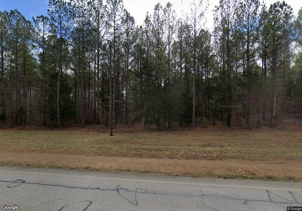
1170 Tallapoosa Hwy Cedartown, GA 30125
Estimated Value: $321,000 - $1,423,338
3
Beds
1
Bath
1,554
Sq Ft
$561/Sq Ft
Est. Value
About This Home
This home is located at 1170 Tallapoosa Hwy, Cedartown, GA 30125 and is currently estimated at $872,169, approximately $561 per square foot. 1170 Tallapoosa Hwy is a home located in Polk County.
Ownership History
Date
Name
Owned For
Owner Type
Purchase Details
Closed on
Jul 14, 2015
Sold by
Mueller Carolyn L
Bought by
Bentley Vicki Lynn and Bentley Thomas Alan
Current Estimated Value
Purchase Details
Closed on
Apr 3, 2009
Sold by
Bentley Rose L
Bought by
Bentley Rose L
Purchase Details
Closed on
Jun 23, 2006
Sold by
Bentley Freeman F
Bought by
Bentley Rose L
Purchase Details
Closed on
Nov 22, 1996
Sold by
Bentley Freeman F
Bought by
Bentley Freeman F
Purchase Details
Closed on
Jun 9, 1977
Sold by
Bentley Laura S and Bentley Jerome W
Bought by
Bentley Freeman F
Purchase Details
Closed on
Dec 31, 1954
Bought by
Bentley Freeman F
Create a Home Valuation Report for This Property
The Home Valuation Report is an in-depth analysis detailing your home's value as well as a comparison with similar homes in the area
Home Values in the Area
Average Home Value in this Area
Purchase History
| Date | Buyer | Sale Price | Title Company |
|---|---|---|---|
| Bentley Vicki Lynn | -- | -- | |
| Bentley Rose L | -- | -- | |
| Bentley Rose L | -- | -- | |
| Bentley Freeman F | -- | -- | |
| Bentley Freeman F | -- | -- | |
| Bentley Freeman F | -- | -- |
Source: Public Records
Tax History Compared to Growth
Tax History
| Year | Tax Paid | Tax Assessment Tax Assessment Total Assessment is a certain percentage of the fair market value that is determined by local assessors to be the total taxable value of land and additions on the property. | Land | Improvement |
|---|---|---|---|---|
| 2024 | $3,902 | $413,464 | $402,584 | $10,880 |
| 2023 | $4,312 | $413,464 | $402,584 | $10,880 |
| 2022 | $4,194 | $361,607 | $350,727 | $10,880 |
| 2021 | $4,136 | $361,607 | $350,727 | $10,880 |
| 2020 | $4,034 | $361,607 | $350,727 | $10,880 |
| 2019 | $4,307 | $358,912 | $350,727 | $8,185 |
| 2018 | $9,370 | $340,029 | $336,761 | $3,268 |
| 2017 | $9,253 | $340,029 | $336,761 | $3,268 |
| 2016 | $10,284 | $377,937 | $373,809 | $4,128 |
| 2015 | $10,318 | $378,038 | $373,809 | $4,229 |
| 2014 | $10,394 | $378,038 | $373,809 | $4,229 |
Source: Public Records
Map
Nearby Homes
- 1870 Tallapoosa Hwy
- 0 Culp Lake Rd Unit 1025-K 10390361
- 0 Culp Lake Rd Unit 1025-J 10390355
- 0 Culp Lake Rd Unit 1025-I 10390347
- 0 Culp Lake Rd Unit 1025-H 10390344
- 0 Culp Lake Rd (Tract 3)
- 0 Culp Lake Rd (Tract 2)
- 525 Grogan Rd
- 539 Grogan Rd
- 557 Grogan Rd
- 4550 Buchanan Hwy
- 0 Buchanan Hwy Unit 10558945
- 0 Youngs Farm Rd Unit 24829378
- 9236 Tallapoosa Hwy
- 4267 Buchanan Hwy
- 0 Judkin Mill Rd Unit LotWP001 19369404
- 497 Judkin Mill Rd
- 966 Judkin Mill Rd
- 0 Wieuca Way Unit 10614129
- 000 Wieuca Way
- 0 Lime Branch Rd
- 0 Lime Branch Rd Unit 8269572
- 0 Lime Branch Rd Unit 8034926
- 0 Lime Branch Rd Unit 7171184
- 0 Lime Branch Rd Unit 8898557
- 0 Lime Branch Rd Unit 8153333
- 1085 Tallapoosa Hwy
- 1051 Tallapoosa Hwy
- 1689 Tallapoosa Hwy
- 313 Lime Branch Rd
- 365 Lime Branch Rd
- 1719 Tallapoosa Hwy
- 200 Youngs Station Rd
- 1749 Tallapoosa Hwy
- 389 Lime Branch Rd
- 90.86 Acres On Youngs Station Rd
- 1760 Tallapoosa Hwy
- 944 Tallapoosa Hwy
- 1785 Tallapoosa Hwy
- TBD Youngs Station Rd
