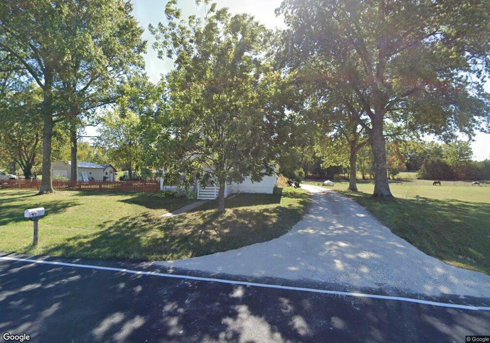
11703 W 223rd St Bucyrus, KS 66013
Estimated Value: $274,000 - $392,560
3
Beds
3
Baths
1,453
Sq Ft
$213/Sq Ft
Est. Value
About This Home
This home is located at 11703 W 223rd St, Bucyrus, KS 66013 and is currently estimated at $310,140, approximately $213 per square foot. 11703 W 223rd St is a home located in Miami County with nearby schools including Rockville Elementary School, Broadmoor Elementary School, and Louisburg Middle School.
Ownership History
Date
Name
Owned For
Owner Type
Purchase Details
Closed on
Apr 30, 2019
Sold by
Pierce Joy Virginia
Bought by
Kalinka Homer
Current Estimated Value
Home Financials for this Owner
Home Financials are based on the most recent Mortgage that was taken out on this home.
Original Mortgage
$173,470
Outstanding Balance
$151,893
Interest Rate
4%
Mortgage Type
VA
Estimated Equity
$158,247
Create a Home Valuation Report for This Property
The Home Valuation Report is an in-depth analysis detailing your home's value as well as a comparison with similar homes in the area
Home Values in the Area
Average Home Value in this Area
Purchase History
| Date | Buyer | Sale Price | Title Company |
|---|---|---|---|
| Kalinka Homer | -- | Security First Title |
Source: Public Records
Mortgage History
| Date | Status | Borrower | Loan Amount |
|---|---|---|---|
| Open | Kalinka Homer | $173,470 |
Source: Public Records
Tax History Compared to Growth
Tax History
| Year | Tax Paid | Tax Assessment Tax Assessment Total Assessment is a certain percentage of the fair market value that is determined by local assessors to be the total taxable value of land and additions on the property. | Land | Improvement |
|---|---|---|---|---|
| 2025 | $3,304 | $35,075 | $10,980 | $24,095 |
| 2024 | $3,059 | $33,086 | $9,235 | $23,851 |
| 2023 | $3,079 | $32,637 | $7,668 | $24,969 |
| 2022 | $2,744 | $27,301 | $7,696 | $19,605 |
| 2021 | $1,431 | $0 | $0 | $0 |
| 2020 | $2,246 | $0 | $0 | $0 |
| 2019 | $2,626 | $0 | $0 | $0 |
| 2018 | $2,436 | $0 | $0 | $0 |
| 2017 | $2,352 | $0 | $0 | $0 |
| 2016 | -- | $0 | $0 | $0 |
| 2015 | -- | $0 | $0 | $0 |
| 2014 | -- | $0 | $0 | $0 |
| 2013 | -- | $0 | $0 | $0 |
Source: Public Records
Map
Nearby Homes
- 4500 W 223rd St
- 315 Old Bucyrus Rd
- 0 Switzer Rd Unit HMS2588257
- 0 Switzer Rd Unit 25589485
- 23478 Switzer Rd
- 11850 W 239th St
- 23400 Lackman Rd
- 9930 W 207th St
- 9548 W 207th St
- 20711 Benson St
- 0 207th & Lackman Rd Unit HMS2550332
- 22785 S Renner Rd
- 22015 Metcalf Rd
- Metcalf 211, Six Pla W 210th St
- The Laguna 1.5 Story Plan at Adams Farm Estates
- The Monaco Plan at Adams Farm Estates
- The Laguna Plan at Adams Farm Estates
- The Riviera II Plan at Adams Farm Estates
- The Riviera Plan at Adams Farm Estates
- The Breckenridge Plan at Adams Farm Estates