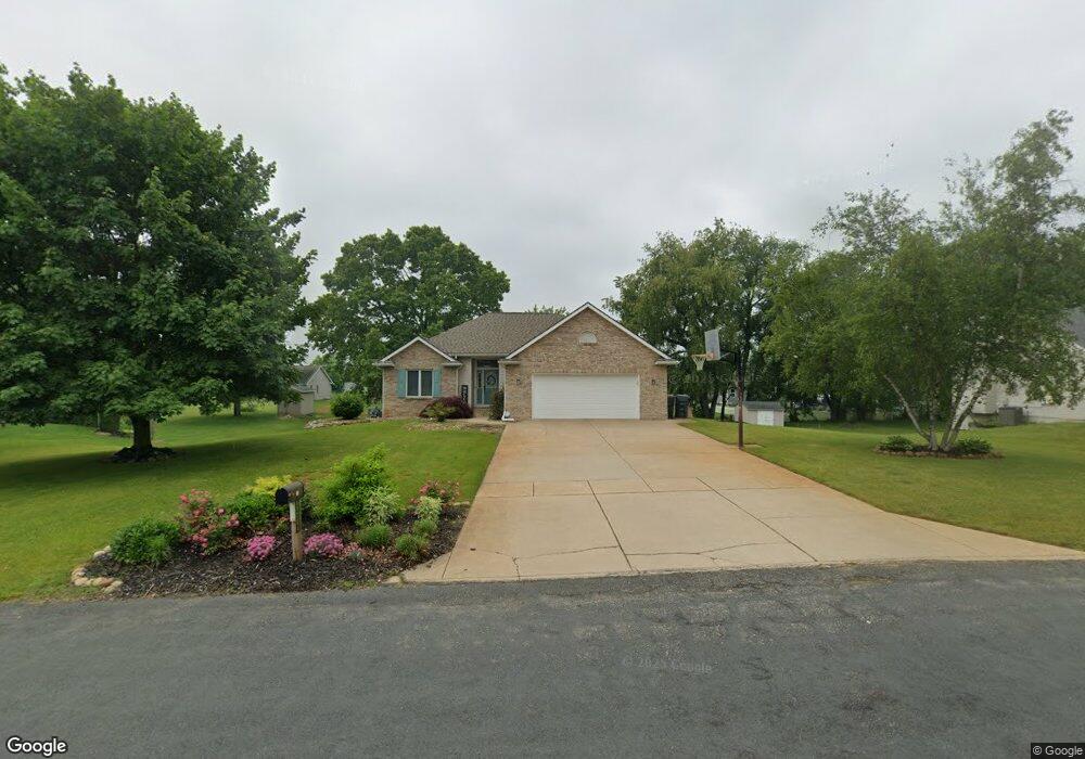
11704 Blueridge St Schoolcraft, MI 49087
Estimated Value: $401,666 - $426,000
4
Beds
4
Baths
1,608
Sq Ft
$258/Sq Ft
Est. Value
About This Home
This home is located at 11704 Blueridge St, Schoolcraft, MI 49087 and is currently estimated at $414,167, approximately $257 per square foot. 11704 Blueridge St is a home located in Kalamazoo County with nearby schools including Schoolcraft Upper Elementary School, Schoolcraft Middle School, and Schoolcraft High School.
Ownership History
Date
Name
Owned For
Owner Type
Purchase Details
Closed on
Mar 25, 2022
Sold by
Joan M Beattie Revocable Trust
Bought by
Beattie Joan M and Wedel Aaron
Current Estimated Value
Purchase Details
Closed on
May 9, 2019
Sold by
Beattle Joan M and Beattle David L
Bought by
The Joan M Beattle Revocable Trust
Purchase Details
Closed on
Jul 31, 2009
Sold by
Good Ward
Bought by
Slater John H
Purchase Details
Closed on
Jul 10, 2009
Sold by
Slater John H and Slater Pamela J
Bought by
Beattie David L and Beattie Joan M
Create a Home Valuation Report for This Property
The Home Valuation Report is an in-depth analysis detailing your home's value as well as a comparison with similar homes in the area
Home Values in the Area
Average Home Value in this Area
Purchase History
| Date | Buyer | Sale Price | Title Company |
|---|---|---|---|
| Beattie Joan M | $330,000 | Chicago Title | |
| The Joan M Beattle Revocable Trust | -- | None Available | |
| Slater John H | $100,000 | Ppr Title | |
| Beattie David L | $195,000 | P P R Title Agency |
Source: Public Records
Tax History
| Year | Tax Paid | Tax Assessment Tax Assessment Total Assessment is a certain percentage of the fair market value that is determined by local assessors to be the total taxable value of land and additions on the property. | Land | Improvement |
|---|---|---|---|---|
| 2025 | $1,931 | $202,700 | $0 | $0 |
| 2024 | $1,875 | $186,800 | $0 | $0 |
| 2023 | $1,788 | $166,500 | $0 | $0 |
| 2022 | $3,635 | $149,200 | $0 | $0 |
| 2021 | $3,529 | $138,700 | $0 | $0 |
| 2020 | $3,444 | $131,200 | $0 | $0 |
| 2019 | $2,915 | $129,400 | $0 | $0 |
| 2018 | $2,847 | $121,500 | $0 | $0 |
| 2017 | $0 | $124,300 | $0 | $0 |
| 2016 | -- | $111,800 | $0 | $0 |
| 2015 | -- | $102,200 | $12,100 | $90,100 |
| 2014 | -- | $102,200 | $0 | $0 |
Source: Public Records
Map
Nearby Homes
- 11457 Circle Dr Unit 44
- 2810 Avalon Woods Dr
- 2150 Oak Leaf Trail
- 11025 Higley Cir W
- 2633 Rolling Hill Ave
- 10476 Schrier Ln
- 1817 Alder Ave
- 10382 Pennridge Dr
- 10565 Pierport Dr
- 560 Sand Pointe Trail
- 705 Briella Ct
- 735 Briella Ct
- 775 Chloe Jane Ave
- 739 Chloe Jane Ave
- 10545 Sharon Lee Ln
- 729 Chloe Jane Ave
- 720 Janelle Ct
- 721 Briella Ct
- 10197 Pennridge Dr
- 10597 Sharon Lee Ln Unit 88
- 11704 Blue Ridge St
- 11726 Blue Ridge Dr
- 11726 Blue Ridge St
- 11726 Blueridge St
- 11686 Blueridge St
- 11711 Blue Ridge Dr
- 11711 Blueridge St
- 11662 Blueridge St
- 11677 Heron St
- 2303 Crimora
- 11750 Blueridge St
- 11715 Heron St
- 11691 Heron St
- 11737 Blueridge St
- 11733 Heron St
- 11644 Blueridge St
- 11655 Heron St
- 11761 Blue Ridge Dr
- 11712 Starlet Ave
- 2285 Crimora
Your Personal Tour Guide
Ask me questions while you tour the home.