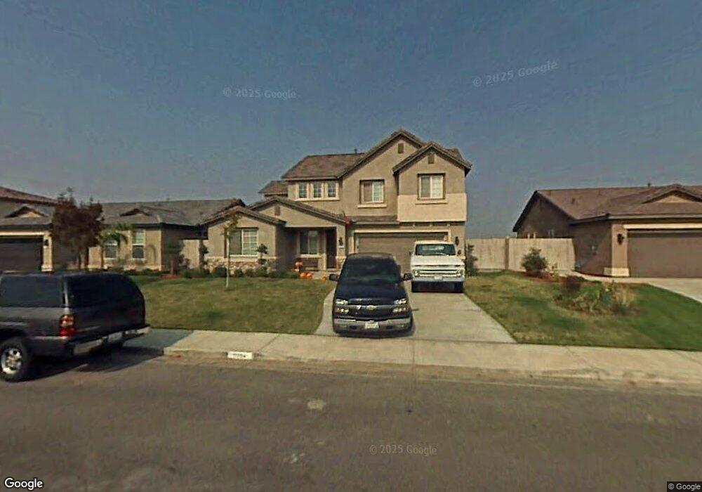
11704 Starlight Dr Unit 2 Bakersfield, CA 93312
Estimated Value: $427,000 - $470,000
3
Beds
2
Baths
1,174
Sq Ft
$381/Sq Ft
Est. Value
About This Home
This home is located at 11704 Starlight Dr Unit 2, Bakersfield, CA 93312 and is currently estimated at $446,875, approximately $380 per square foot. 11704 Starlight Dr Unit 2 is a home located in Kern County with nearby schools including Rosedale-North Elementary School, Freedom Middle School, and Centennial High School.
Ownership History
Date
Name
Owned For
Owner Type
Purchase Details
Closed on
Jun 5, 2017
Sold by
Doran Michael D and Doran Amy N
Bought by
Doran Michael D and Doran Amy N
Current Estimated Value
Home Financials for this Owner
Home Financials are based on the most recent Mortgage that was taken out on this home.
Original Mortgage
$208,000
Outstanding Balance
$173,060
Interest Rate
4.03%
Mortgage Type
New Conventional
Estimated Equity
$273,815
Purchase Details
Closed on
Dec 21, 2005
Sold by
Mcmillin Capella Llc
Bought by
Doran Michael D and Doran Amy N
Home Financials for this Owner
Home Financials are based on the most recent Mortgage that was taken out on this home.
Original Mortgage
$296,693
Interest Rate
6.3%
Mortgage Type
Stand Alone First
Create a Home Valuation Report for This Property
The Home Valuation Report is an in-depth analysis detailing your home's value as well as a comparison with similar homes in the area
Home Values in the Area
Average Home Value in this Area
Purchase History
| Date | Buyer | Sale Price | Title Company |
|---|---|---|---|
| Doran Michael D | -- | Placer Title | |
| Doran Michael D | $371,000 | First American Title |
Source: Public Records
Mortgage History
| Date | Status | Borrower | Loan Amount |
|---|---|---|---|
| Open | Doran Michael D | $208,000 | |
| Previous Owner | Doran Michael D | $296,693 |
Source: Public Records
Tax History
| Year | Tax Paid | Tax Assessment Tax Assessment Total Assessment is a certain percentage of the fair market value that is determined by local assessors to be the total taxable value of land and additions on the property. | Land | Improvement |
|---|---|---|---|---|
| 2025 | $6,498 | $435,000 | $109,000 | $326,000 |
| 2024 | $6,476 | $439,000 | $110,000 | $329,000 |
| 2023 | $6,476 | $439,000 | $110,000 | $329,000 |
| 2022 | $6,158 | $412,000 | $103,000 | $309,000 |
| 2021 | $4,891 | $309,000 | $77,000 | $232,000 |
| 2020 | $4,607 | $288,000 | $72,000 | $216,000 |
| 2019 | $4,299 | $262,000 | $66,000 | $196,000 |
| 2018 | $4,155 | $254,000 | $64,000 | $190,000 |
| 2017 | $4,086 | $247,000 | $62,000 | $185,000 |
| 2016 | $3,752 | $234,000 | $59,000 | $175,000 |
| 2015 | $3,734 | $234,000 | $59,000 | $175,000 |
| 2014 | $3,575 | $222,000 | $56,000 | $166,000 |
Source: Public Records
Map
Nearby Homes
- 3122 Campfire Dr Unit 2
- 3105 Silver Spur Way
- 11908 Nebula Ct
- 11910 Compass Ave
- 3603 Deslok Dr
- 3622 Azure Dr
- 1900 Jewetta Ave
- 3600 Piedmont Ave
- 3226 Batch Ln
- 3416 Aslin St
- 11265 Poulsen Way
- 3604 Mehgan Ave
- 3301 Beyers St
- 3435 Moss St
- 12421 Winn Ave
- 11001 Aimee Way
- 12637 Allen Ln
- 4136 Jewetta Ave
- 10701 Meacham Rd
- 2710 Maher Way
- 11700 Starlight Dr
- 11708 Starlight Dr
- 11621 Sagebrush Ave Unit 5
- 11617 Sagebrush Ave
- 11625 Sagebrush Ave
- 11614 Starlight Dr
- 11712 Starlight Dr
- 3211 Aries Ct
- 11613 Sagebrush Ave
- 11703 Sagebrush Ave
- 11610 Starlight Dr Unit 2
- 11716 Starlight Dr
- 11713 Starlight Dr Unit 2
- 11609 Sagebrush Ave
- 11707 Sagebrush Ave
- 3210 Aries Ct
- 11717 Starlight Dr
- 3207 Aries Ct
- 11717 Starligth Dr
- 11606 Starlight Dr
Your Personal Tour Guide
Ask me questions while you tour the home.