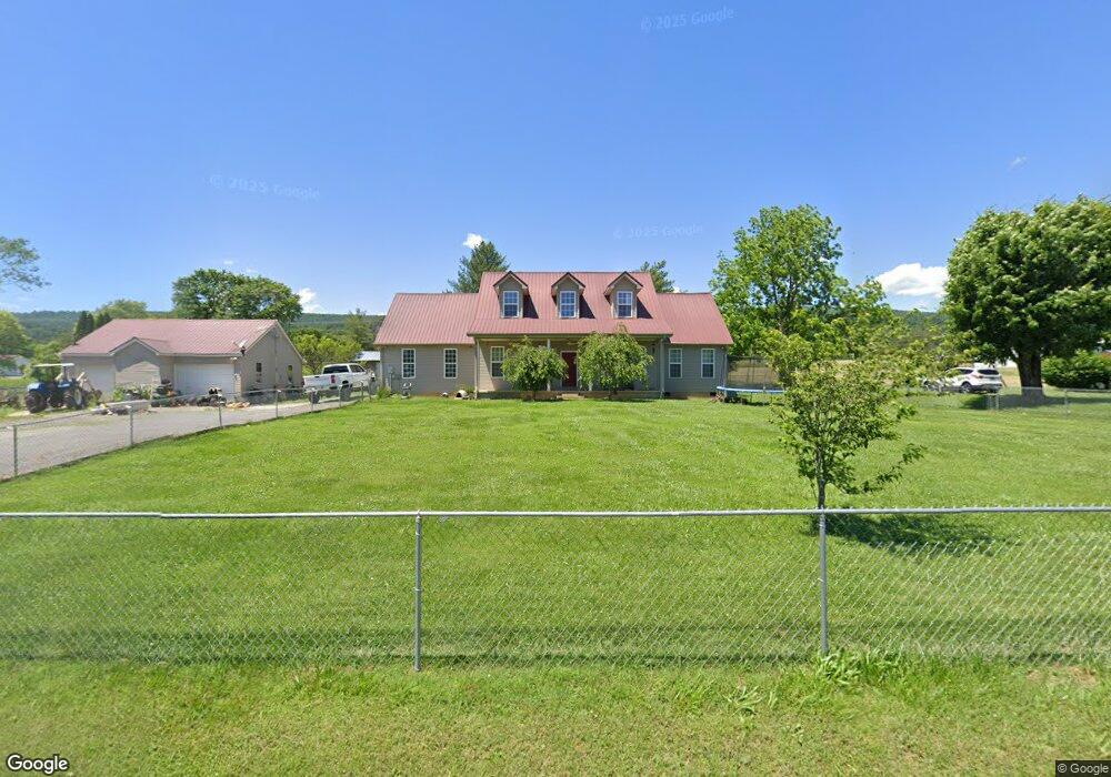
1171 Cherry St Rutledge, TN 37861
Estimated Value: $187,568 - $360,000
Studio
1
Bath
944
Sq Ft
$287/Sq Ft
Est. Value
About This Home
This home is located at 1171 Cherry St, Rutledge, TN 37861 and is currently estimated at $271,392, approximately $287 per square foot. 1171 Cherry St is a home located in Grainger County with nearby schools including Rutledge Primary School, Rutledge Elementary School, and Rutledge Middle School.
Ownership History
Date
Name
Owned For
Owner Type
Purchase Details
Closed on
Feb 28, 2025
Sold by
Miller Fayrene Davidson and Miller Danny Lee
Bought by
Atkins Logan and Atkins Cori
Current Estimated Value
Purchase Details
Closed on
Aug 5, 2000
Sold by
Talbott Cecil O
Bought by
Williams Anthony
Purchase Details
Closed on
Feb 25, 1993
Bought by
Brison Mary
Create a Home Valuation Report for This Property
The Home Valuation Report is an in-depth analysis detailing your home's value as well as a comparison with similar homes in the area
Purchase History
| Date | Buyer | Sale Price | Title Company |
|---|---|---|---|
| Atkins Logan | -- | None Listed On Document | |
| Atkins Logan | -- | None Listed On Document | |
| Williams Anthony | $42,350 | -- | |
| Brison Mary | $24,500 | -- |
Source: Public Records
Tax History
| Year | Tax Paid | Tax Assessment Tax Assessment Total Assessment is a certain percentage of the fair market value that is determined by local assessors to be the total taxable value of land and additions on the property. | Land | Improvement |
|---|---|---|---|---|
| 2025 | $1,010 | $42,975 | $4,350 | $38,625 |
| 2024 | $1,010 | $42,975 | $4,350 | $38,625 |
| 2023 | $1,010 | $42,975 | $4,350 | $38,625 |
| 2022 | $987 | $42,975 | $4,350 | $38,625 |
| 2021 | $987 | $42,975 | $4,350 | $38,625 |
| 2020 | $1,096 | $42,975 | $4,350 | $38,625 |
| 2019 | $1,096 | $39,125 | $4,350 | $34,775 |
| 2018 | $947 | $39,125 | $4,350 | $34,775 |
| 2017 | $947 | $39,125 | $4,350 | $34,775 |
| 2016 | $947 | $39,125 | $4,350 | $34,775 |
| 2015 | $254 | $39,125 | $4,350 | $34,775 |
| 2014 | $254 | $10,175 | $0 | $0 |
Source: Public Records
Map
Nearby Homes
- 1333 Cherry St
- 509 Smokey Rd
- 0 Cherry St
- 03 Rocky Branch Rd
- 04 Rocky Branch Rd
- 00 Rocky Branch Rd
- Lots 5&6 Clint Williams Rd
- 1655 Lester Whitt Rd
- 0 Jarnagin Unit 1328423
- 2605 Rocky Branch Rd
- 70 acres+- Perrin Hill Rd
- 197 Deer Ridge Dr
- 127 Deer Ridge Dr
- 0 Silent Ln Unit 1299563
- 131 Southside Ave
- 3730 Highway 131
- 238 Overlook Ln
- 0 Deerridge Dr Unit 1185180
- 3500 Poor Valley Rd
- 58.5 Acres Greenlee Rd
- 1155 Cherry St
- 1203 Cherry St
- 568 Highway 11w S
- 638 U S 11w
- Lot 11 Cherry St
- 1259 Cherry St
- 432 Highway 11w S
- 1030 Cherry St
- 1030 Cherry St
- 000 Cherry St
- 0 Hwy 11w & Cherry St Unit 1130010
- 410 Highway 11w S
- 0 Hwy 11w S Unit 738217
- 0 Hwy 11w S Unit 27500 738213
- 0 Hwy 11w S Unit 758717
- 0 Hwy 11w S Unit 788419
- 0 Hwy 11w S Unit 832591
- 0 Hwy 11w S Unit 1095261
- 737 Highway 11w S
- 993 Cherry St
Your Personal Tour Guide
Ask me questions while you tour the home.