1171 Highway 80 E Newton, MS 39345
Estimated Value: $174,000
4
Beds
3
Baths
3,510
Sq Ft
$50/Sq Ft
Est. Value
About This Home
This home is located at 1171 Highway 80 E, Newton, MS 39345 and is currently estimated at $174,000, approximately $49 per square foot. 1171 Highway 80 E is a home with nearby schools including Newton Elementary School, N.H. Pilate Middle School, and Newton High School.
Ownership History
Date
Name
Owned For
Owner Type
Purchase Details
Closed on
Dec 15, 2023
Sold by
Collins William D and Collins Heather
Bought by
Collins William D and Collins Heather
Current Estimated Value
Home Financials for this Owner
Home Financials are based on the most recent Mortgage that was taken out on this home.
Original Mortgage
$182,200
Outstanding Balance
$179,176
Interest Rate
7.5%
Mortgage Type
New Conventional
Estimated Equity
-$5,176
Purchase Details
Closed on
Feb 5, 2009
Sold by
Murphree Gary L and Murphree Beverly H
Bought by
Flair Janette L and Flair Jesse J
Create a Home Valuation Report for This Property
The Home Valuation Report is an in-depth analysis detailing your home's value as well as a comparison with similar homes in the area
Home Values in the Area
Average Home Value in this Area
Purchase History
| Date | Buyer | Sale Price | Title Company |
|---|---|---|---|
| Collins William D | -- | None Listed On Document | |
| Flair Janette L | -- | -- |
Source: Public Records
Mortgage History
| Date | Status | Borrower | Loan Amount |
|---|---|---|---|
| Open | Collins William D | $182,200 |
Source: Public Records
Tax History Compared to Growth
Tax History
| Year | Tax Paid | Tax Assessment Tax Assessment Total Assessment is a certain percentage of the fair market value that is determined by local assessors to be the total taxable value of land and additions on the property. | Land | Improvement |
|---|---|---|---|---|
| 2024 | $1,111 | $44,682 | $0 | $0 |
| 2023 | $878 | $6,884 | $0 | $0 |
| 2022 | $1,349 | $12,959 | $0 | $0 |
| 2021 | $1,955 | $15,794 | $0 | $0 |
| 2020 | $1,969 | $15,894 | $0 | $0 |
| 2019 | $1,990 | $15,920 | $0 | $0 |
| 2018 | $1,985 | $15,969 | $0 | $0 |
| 2017 | $1,899 | $15,213 | $0 | $0 |
| 2016 | $1,864 | $14,990 | $0 | $0 |
| 2015 | -- | $14,773 | $0 | $0 |
| 2014 | -- | $14,580 | $0 | $0 |
Source: Public Records
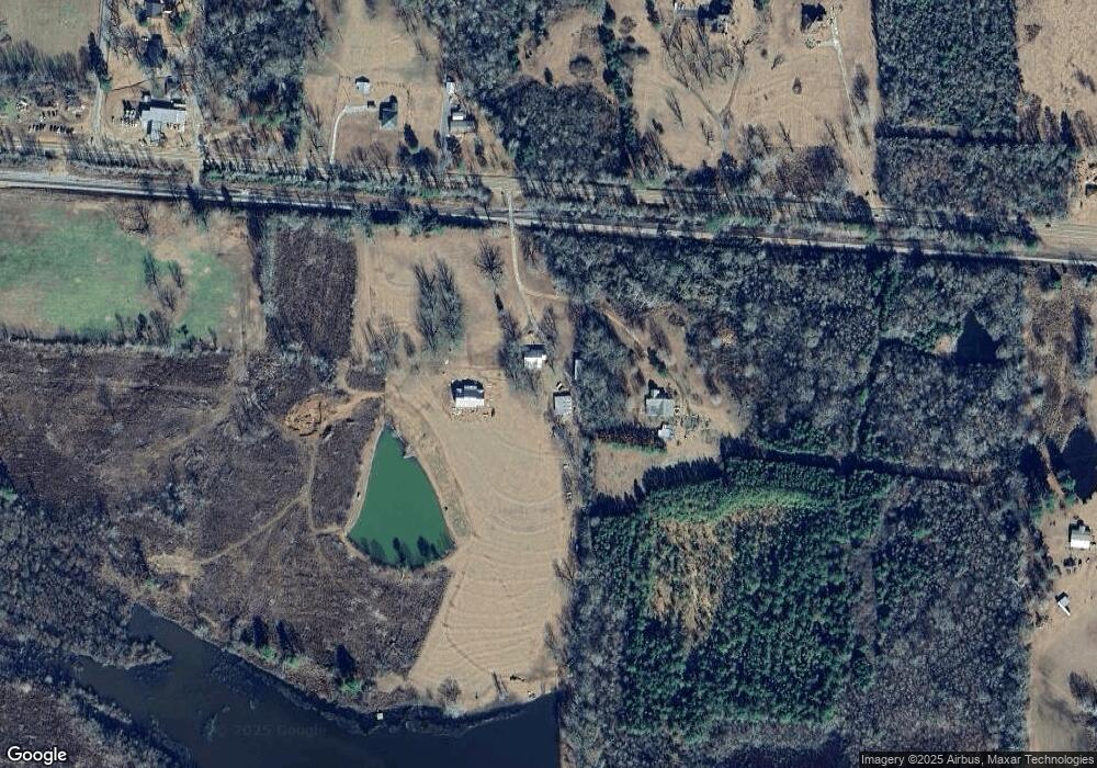
Map
Nearby Homes
- 1890 Newton Conehatta Rd
- 0 Heritage St
- 701 Jenkins St
- 807 W Church St
- 103 Oak St
- 205 Ridge Dr
- 508 W Church St
- 502 W Church St
- 0 Newton Conehatta Rd
- 4002 Lawrence Hazel Rd
- 306 W Church St
- 200 W Tatum St
- 104 W Tatum St
- 105 Pinewood Dr
- 602 S Main St
- 103 Rew St
- 4513 Lawrence Hazel Rd
- 0 1st Ave
- 202 New Ireland St
- 300 E Church St
- 5731 Highway 80
- 5560 Highway 80
- 5758 Highway 80
- 5836 Highway 80
- 1 Lawrence Hazel Rd
- 87 Lawrence Hazel Rd
- 5964 Highway 80
- 5992 Highway 80
- 5992 Highway 80
- 5992 Hwy 80
- 5262 Highway 80
- 6052 Highway 80
- 5200 Highway 80
- 5230 Highway 80
- 6615 Highway 505
- 262 Lawrence Hazel Rd
- 6615 Mississippi 505
- 285 Lawrence Hazel Rd
- 999 Graham Harrison Rd
- 6741 Highway 505