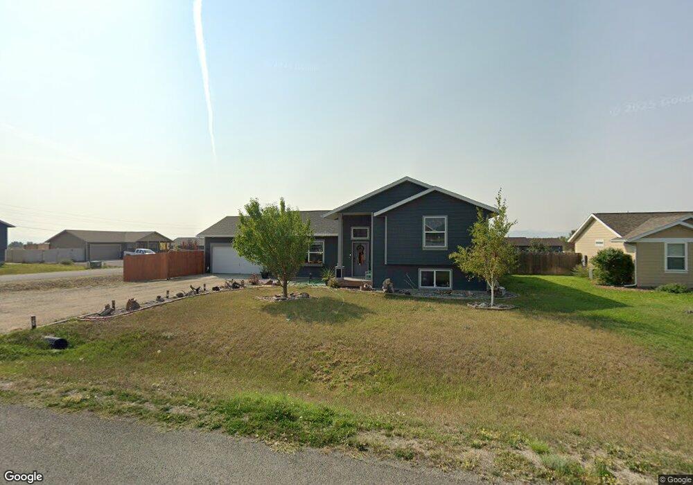
1171 Polaris Rd Helena, MT 59602
West Helena Valley NeighborhoodEstimated Value: $477,000 - $507,000
3
Beds
2
Baths
2,692
Sq Ft
$184/Sq Ft
Est. Value
About This Home
This home is located at 1171 Polaris Rd, Helena, MT 59602 and is currently estimated at $496,658, approximately $184 per square foot. 1171 Polaris Rd is a home located in Lewis and Clark County with nearby schools including Jim Darcy Elementary School and C.R. Anderson Middle School.
Ownership History
Date
Name
Owned For
Owner Type
Purchase Details
Closed on
Jan 6, 2021
Sold by
Cannon Joshua N and Cannon Amanda J
Bought by
Evans Amanda J
Current Estimated Value
Purchase Details
Closed on
Nov 29, 2011
Sold by
North Star Development Llc
Bought by
Wim Corp
Home Financials for this Owner
Home Financials are based on the most recent Mortgage that was taken out on this home.
Original Mortgage
$36,000
Interest Rate
4.09%
Mortgage Type
Seller Take Back
Create a Home Valuation Report for This Property
The Home Valuation Report is an in-depth analysis detailing your home's value as well as a comparison with similar homes in the area
Home Values in the Area
Average Home Value in this Area
Purchase History
| Date | Buyer | Sale Price | Title Company |
|---|---|---|---|
| Evans Amanda J | -- | First Montana Land Title Co | |
| Wim Corp | -- | -- |
Source: Public Records
Mortgage History
| Date | Status | Borrower | Loan Amount |
|---|---|---|---|
| Previous Owner | Wim Corp | $36,000 |
Source: Public Records
Tax History Compared to Growth
Tax History
| Year | Tax Paid | Tax Assessment Tax Assessment Total Assessment is a certain percentage of the fair market value that is determined by local assessors to be the total taxable value of land and additions on the property. | Land | Improvement |
|---|---|---|---|---|
| 2025 | $2,034 | $437,200 | $0 | $0 |
| 2024 | $3,264 | $400,000 | $0 | $0 |
| 2023 | $3,472 | $400,000 | $0 | $0 |
| 2022 | $2,927 | $283,200 | $0 | $0 |
| 2021 | $2,695 | $283,200 | $0 | $0 |
| 2020 | $2,675 | $243,700 | $0 | $0 |
| 2019 | $2,618 | $243,700 | $0 | $0 |
| 2018 | $2,604 | $240,700 | $0 | $0 |
| 2017 | $2,050 | $240,700 | $0 | $0 |
| 2016 | $2,200 | $225,800 | $0 | $0 |
| 2015 | $1,965 | $225,800 | $0 | $0 |
| 2014 | $1,799 | $113,261 | $0 | $0 |
Source: Public Records
Map
Nearby Homes
- 1153 Pollux Rd
- 1072 Pollux Rd
- 1085 Avian Rd
- 1188 Hunter Rd
- 1187 Hunter Rd
- 1194 Hunter Rd
- 8240 Avocet Dr
- 1343 Stetson Rd
- 7626 Roughsawn Dr
- 575 Jeanne Rd
- 7622 Kingpost Loop
- 1145 Terrence Rd
- Lot E-2 Mary Dr
- Lot E-1 Mary Dr
- 7567 Kingpost Loop
- nhn Bergren Dr
- 8340 Green Meadow Dr
- 5701 Collins Dr
- 7190 Jenroe Dr
- 7175 Jenroe Dr
- 1159 Polaris Rd
- 7959 Avocet Dr
- 7957 Avocet Dr
- 1190 Polaris Rd
- 7965 Avocet Dr
- 1170 Orion Rd
- 1147 Polaris Rd
- 1158 Orion Rd
- 1170 Polaris Rd
- 7975 Avocet Dr
- 1146 Orion Rd
- 1150 Polaris Rd
- 1135 Polaris Rd
- 7953 Avocet Dr
- 1130 Polaris Rd
- 1134 Orion Rd
- 1191 Star Rd
- 7985 Avocet Dr
- 1123 Polaris Rd
- 1120 Polaris Rd