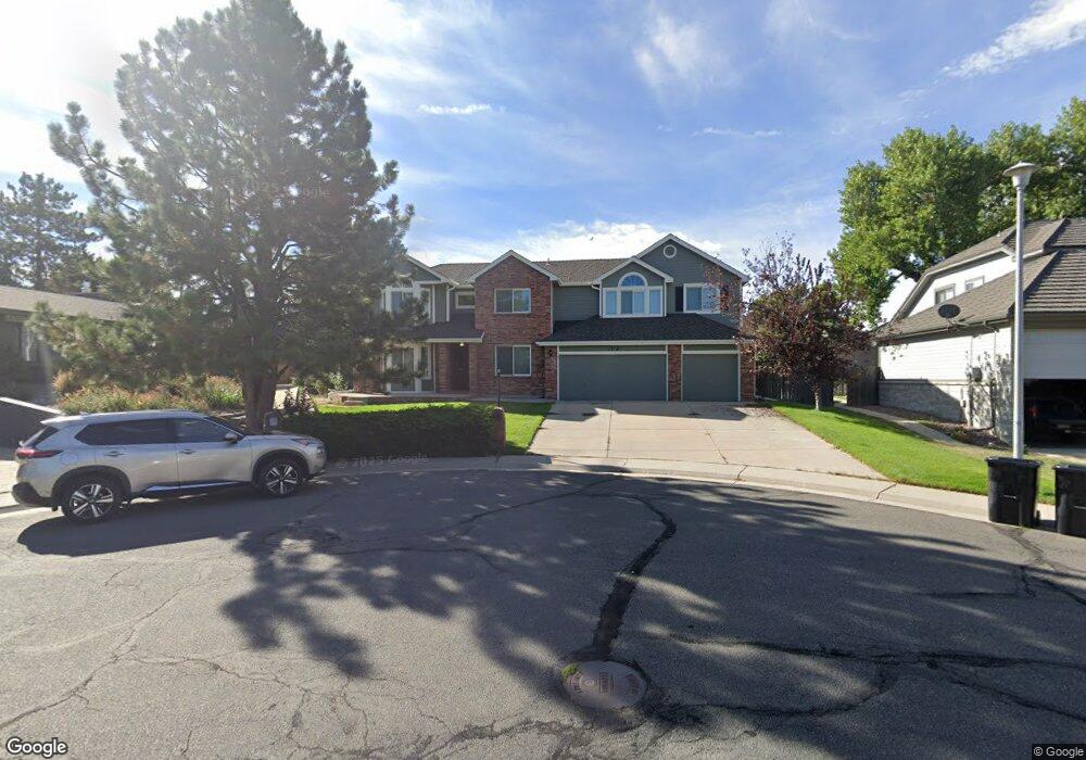
11710 W 74th Place Arvada, CO 80005
Harvest Lane NeighborhoodEstimated Value: $819,184 - $960,000
6
Beds
4
Baths
3,232
Sq Ft
$268/Sq Ft
Est. Value
About This Home
This home is located at 11710 W 74th Place, Arvada, CO 80005 and is currently estimated at $865,796, approximately $267 per square foot. 11710 W 74th Place is a home located in Jefferson County with nearby schools including Fremont Elementary School, Oberon Middle School, and Arvada West High School.
Ownership History
Date
Name
Owned For
Owner Type
Purchase Details
Closed on
Dec 21, 2017
Sold by
Probst John J and Probst Carol A
Bought by
Johnson Natalie Grace and Johnson Aaron Mathew
Current Estimated Value
Home Financials for this Owner
Home Financials are based on the most recent Mortgage that was taken out on this home.
Original Mortgage
$472,000
Outstanding Balance
$396,035
Interest Rate
3.9%
Mortgage Type
New Conventional
Estimated Equity
$469,761
Create a Home Valuation Report for This Property
The Home Valuation Report is an in-depth analysis detailing your home's value as well as a comparison with similar homes in the area
Home Values in the Area
Average Home Value in this Area
Purchase History
| Date | Buyer | Sale Price | Title Company |
|---|---|---|---|
| Johnson Natalie Grace | $590,000 | Land Title Guarantee Co |
Source: Public Records
Mortgage History
| Date | Status | Borrower | Loan Amount |
|---|---|---|---|
| Open | Johnson Natalie Grace | $472,000 |
Source: Public Records
Tax History Compared to Growth
Tax History
| Year | Tax Paid | Tax Assessment Tax Assessment Total Assessment is a certain percentage of the fair market value that is determined by local assessors to be the total taxable value of land and additions on the property. | Land | Improvement |
|---|---|---|---|---|
| 2024 | $4,589 | $47,369 | $15,135 | $32,234 |
| 2023 | $4,595 | $47,369 | $15,135 | $32,234 |
| 2022 | $4,120 | $42,068 | $11,449 | $30,619 |
| 2021 | $4,188 | $43,279 | $11,779 | $31,500 |
| 2020 | $3,925 | $40,670 | $11,025 | $29,645 |
| 2019 | $3,872 | $40,670 | $11,025 | $29,645 |
| 2018 | $3,755 | $38,347 | $8,261 | $30,086 |
| 2017 | $2,792 | $38,347 | $8,261 | $30,086 |
| 2016 | $2,654 | $35,856 | $8,696 | $27,160 |
| 2015 | $2,188 | $35,856 | $8,696 | $27,160 |
| 2014 | $2,188 | $29,566 | $8,010 | $21,556 |
Source: Public Records
Map
Nearby Homes
- 7482 Routt Ln
- 11825 W 73rd Dr
- 7255 Taft Ct
- 7454 Queen Cir
- 7130 Simms St Unit 207
- 7080 Simms St Unit 204
- 11854 W 76th Ln
- 7154 Welch Ct
- 11290 W 77th Dr
- 7049 Van Gordon Ct
- 11802 W 77th Dr
- 11495 W 77th Dr
- 7631 Oak St
- 12871 W 74th Dr
- 7097 Parfet St
- 7587 Wright Ct
- 12940 W 75th Ave
- 10512 W 75th Ave
- 13023 W 75th Place
- 8055 Simms St
- 11730 W 74th Place
- 11690 W 74th Place
- 11747 W 74th Way
- 11727 W 74th Way
- 11750 W 74th Place
- 11687 W 74th Way
- 7474 Swadley St
- 11767 W 74th Way
- 7475 Swadley St
- 7433 Simms Ct
- 7453 Simms Ct
- 11770 W 74th Place
- 11667 W 74th Way
- 7484 Swadley St
- 7463 Simms Ct
- 11726 W 74th Way
- 11766 W 74th Way
- 7485 Swadley St
- 11746 W 74th Way
- 7476 Tabor St