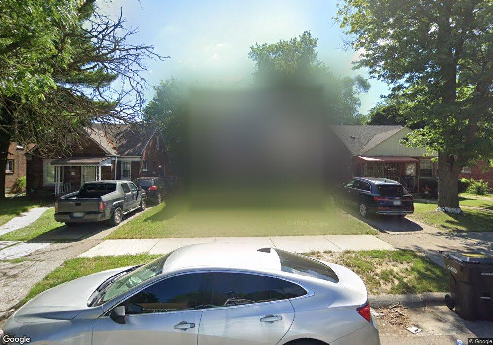
11714 Ashton Ave Detroit, MI 48228
Southfield Plymouth NeighborhoodEstimated Value: $78,106 - $100,000
5
Beds
3
Baths
1,368
Sq Ft
$65/Sq Ft
Est. Value
About This Home
This home is located at 11714 Ashton Ave, Detroit, MI 48228 and is currently estimated at $88,527, approximately $64 per square foot. 11714 Ashton Ave is a home located in Wayne County with nearby schools including Bates Academy, Charles L. Spain Elementary-Middle School, and Edward 'Duke' Ellington Conservatory of Music and Art.
Ownership History
Date
Name
Owned For
Owner Type
Purchase Details
Closed on
Jan 15, 2019
Sold by
Detroit Land Bank Authority
Bought by
Foster Christopher
Current Estimated Value
Purchase Details
Closed on
Jan 6, 2015
Sold by
Wayne County Treasurer
Bought by
Detroit Land Bank Authority
Purchase Details
Closed on
Dec 10, 2009
Sold by
Mortgage Electronic Registration Systems
Bought by
Federal National Mortgage Association
Purchase Details
Closed on
Dec 9, 2009
Sold by
Morris Jeannette M and Morris Jeannette
Bought by
Mortgage Electronic Registration Systems
Create a Home Valuation Report for This Property
The Home Valuation Report is an in-depth analysis detailing your home's value as well as a comparison with similar homes in the area
Home Values in the Area
Average Home Value in this Area
Purchase History
| Date | Buyer | Sale Price | Title Company |
|---|---|---|---|
| Foster Christopher | $2,600 | Title Source Inc | |
| Detroit Land Bank Authority | -- | None Available | |
| Federal National Mortgage Association | -- | None Available | |
| Mortgage Electronic Registration Systems | $63,640 | None Available |
Source: Public Records
Tax History Compared to Growth
Tax History
| Year | Tax Paid | Tax Assessment Tax Assessment Total Assessment is a certain percentage of the fair market value that is determined by local assessors to be the total taxable value of land and additions on the property. | Land | Improvement |
|---|---|---|---|---|
| 2025 | $879 | $26,300 | $0 | $0 |
| 2024 | $879 | $21,000 | $0 | $0 |
| 2023 | $851 | $17,000 | $0 | $0 |
| 2022 | $1,082 | $13,400 | $0 | $0 |
| 2021 | $1,063 | $9,900 | $0 | $0 |
| 2020 | $1,063 | $9,300 | $0 | $0 |
| 2019 | $360 | $0 | $0 | $0 |
| 2018 | $0 | $0 | $0 | $0 |
| 2017 | $0 | $0 | $0 | $0 |
| 2016 | $240 | $12,700 | $0 | $0 |
| 2015 | $1,270 | $12,700 | $0 | $0 |
| 2013 | $1,780 | $17,798 | $0 | $0 |
| 2010 | -- | $25,502 | $863 | $24,639 |
Source: Public Records
Map
Nearby Homes
- 11691 Archdale St
- 11677 Archdale St
- 12039 Faust Ave
- 11704 Greenview Ave
- 18541 Plymouth Rd
- 11317 Rosemont Ave
- 12017 Rutland St
- 11696 Glastonbury Ave
- 10086 Rosemont Ave
- 9996 Archdale St
- 11683 Stahelin Ave
- 11667 Stahelin Ave
- 18250 Weaver St
- 11400 Abington Ave
- 9961 Rutland St
- 18110 Weaver St
- 11676 Grandmont Ave
- 11320 Artesian St
- 11375 Grandmont Ave
- 10031 Abington Ave
- 11722 Ashton Ave
- 11706 Ashton Ave
- 11730 Ashton Ave
- 11698 Ashton Ave
- 11727 Fielding St
- 11740 Ashton Ave
- 11680 Ashton Ave
- 11715 Ashton Ave
- 11721 Ashton Ave
- 11705 Ashton Ave
- 11674 Ashton Ave
- 11699 Ashton Ave
- 11731 Ashton Ave
- 12000 Ashton Ave
- 11697 Ashton Ave
- 11671 Fielding St
- 11666 Ashton Ave
- 11681 Ashton Ave
- 12012 Ashton Ave
- 11675 Ashton Ave