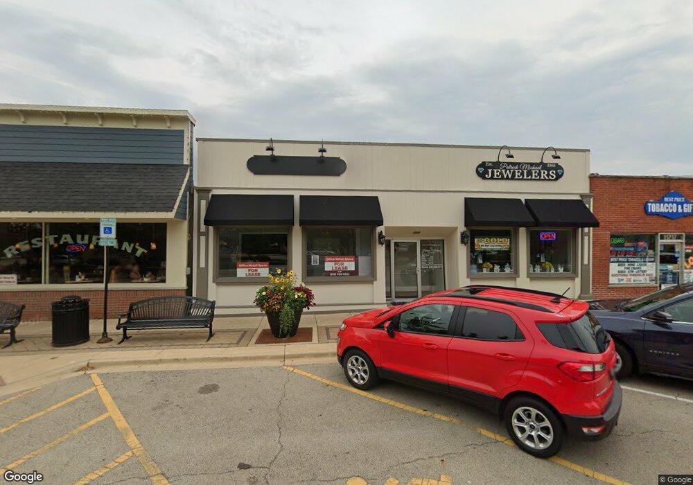
11715 Main St Unit B Huntley, IL 60142
Estimated Value: $507,850
--
Bed
--
Bath
2,923
Sq Ft
$174/Sq Ft
Est. Value
About This Home
This home is located at 11715 Main St Unit B, Huntley, IL 60142 and is currently estimated at $507,850, approximately $173 per square foot. 11715 Main St Unit B is a home located in McHenry County with nearby schools including Mackeben Elementary School, Conley Elementary School, and Marlowe Middle School.
Ownership History
Date
Name
Owned For
Owner Type
Purchase Details
Closed on
May 11, 2021
Sold by
John P Garven Trust and Garven John P
Bought by
Gn Enterprise Group Llc
Current Estimated Value
Home Financials for this Owner
Home Financials are based on the most recent Mortgage that was taken out on this home.
Original Mortgage
$382,000
Interest Rate
3.09%
Mortgage Type
Commercial
Purchase Details
Closed on
Sep 20, 1996
Sold by
Memorial Medical Center Woodstock
Bought by
Nimed Corp
Create a Home Valuation Report for This Property
The Home Valuation Report is an in-depth analysis detailing your home's value as well as a comparison with similar homes in the area
Home Values in the Area
Average Home Value in this Area
Purchase History
| Date | Buyer | Sale Price | Title Company |
|---|---|---|---|
| Gn Enterprise Group Llc | $400,000 | None Listed On Document | |
| Gn Enterprise Group Llc | $400,000 | Fidelity National Title | |
| Nimed Corp | -- | Chicago Title |
Source: Public Records
Mortgage History
| Date | Status | Borrower | Loan Amount |
|---|---|---|---|
| Previous Owner | Gn Enterprise Group Llc | $382,000 |
Source: Public Records
Tax History Compared to Growth
Tax History
| Year | Tax Paid | Tax Assessment Tax Assessment Total Assessment is a certain percentage of the fair market value that is determined by local assessors to be the total taxable value of land and additions on the property. | Land | Improvement |
|---|---|---|---|---|
| 2024 | $9,170 | $129,132 | $5,084 | $124,048 |
| 2023 | $8,980 | $116,001 | $4,567 | $111,434 |
| 2022 | $8,453 | $105,629 | $4,159 | $101,470 |
| 2021 | $8,227 | $99,481 | $3,917 | $95,564 |
| 2020 | $8,104 | $96,828 | $3,813 | $93,015 |
| 2019 | $7,927 | $94,356 | $3,716 | $90,640 |
| 2018 | $7,865 | $92,406 | $15,339 | $77,067 |
| 2017 | $8,952 | $100,736 | $14,456 | $86,280 |
| 2016 | $9,069 | $95,775 | $13,744 | $82,031 |
| 2013 | -- | $92,006 | $13,203 | $78,803 |
Source: Public Records
Map
Nearby Homes
- Lot 1 Ryann Rd
- 11609 E Main St
- Lot 2 Ryann Rd
- 11614 2nd St
- Lot 3 Ryann Rd
- 11618 Douglas Ave
- 9101 Marks Ct
- 11369 Timer Dr Unit 11369
- 11611 Becky Lee Trace
- 10846 Timer Dr W Unit 2
- 0000 Route 47
- 10514 N Church St
- 12145 Oakcrest Dr
- 12025 Oakcrest Dr
- 12390 Oakcrest Dr
- 0 Ruth Rd Unit MRD12258953
- 2.54 Ruth Rd
- 10422 Mey Rd
- 10412 Mey Rd
- 12484 Carver Ln
- 11715 Main St
- 11103 S Church St
- 11105 S Church St
- 11805 Main St
- 11801 E Main St
- 11021 Woodstock St Unit 250
- 11021 Woodstock St Unit UPPER
- 11708 Coral St Unit 2-MIDDLE
- 11710 Coral St Unit 3
- 11107 S Church St
- 11019 N Woodstock St
- 11806 E Main St
- 11802 Main St
- 11808 Main St Unit Front
- 11808 Main St
- 11106 S Church St
- 11013 N Woodstock St
- 11705 1st St
- 11810 E Main St
- 11108 S Church St