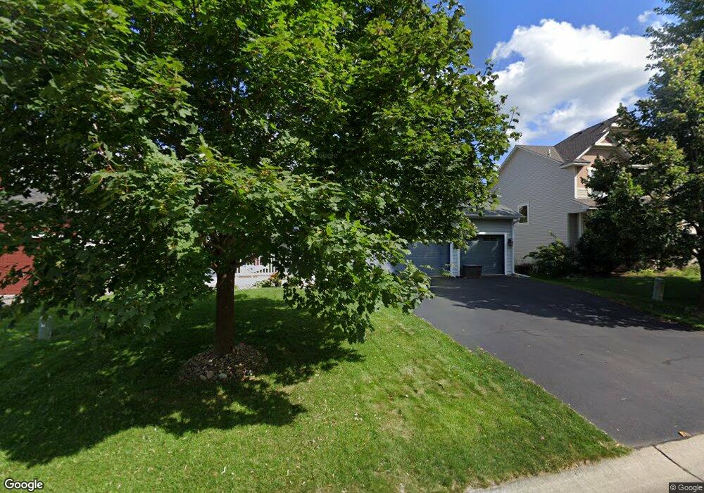
11719 Independence Way Woodbury, MN 55129
Estimated Value: $582,000 - $624,000
5
Beds
5
Baths
2,473
Sq Ft
$244/Sq Ft
Est. Value
About This Home
This home is located at 11719 Independence Way, Woodbury, MN 55129 and is currently estimated at $603,501, approximately $244 per square foot. 11719 Independence Way is a home located in Washington County with nearby schools including Afton-Lakeland Elementary School, Oak-Land Middle School, and Stillwater Area High School.
Ownership History
Date
Name
Owned For
Owner Type
Purchase Details
Closed on
Nov 24, 2009
Sold by
Partnerhip Mattamy Minneapolis
Bought by
Meyer Brad M and Meyer April M
Current Estimated Value
Home Financials for this Owner
Home Financials are based on the most recent Mortgage that was taken out on this home.
Original Mortgage
$311,796
Outstanding Balance
$204,413
Interest Rate
5%
Mortgage Type
FHA
Estimated Equity
$399,089
Create a Home Valuation Report for This Property
The Home Valuation Report is an in-depth analysis detailing your home's value as well as a comparison with similar homes in the area
Home Values in the Area
Average Home Value in this Area
Purchase History
| Date | Buyer | Sale Price | Title Company |
|---|---|---|---|
| Meyer Brad M | $317,549 | -- |
Source: Public Records
Mortgage History
| Date | Status | Borrower | Loan Amount |
|---|---|---|---|
| Open | Meyer Brad M | $311,796 |
Source: Public Records
Tax History Compared to Growth
Tax History
| Year | Tax Paid | Tax Assessment Tax Assessment Total Assessment is a certain percentage of the fair market value that is determined by local assessors to be the total taxable value of land and additions on the property. | Land | Improvement |
|---|---|---|---|---|
| 2024 | $5,958 | $586,000 | $140,000 | $446,000 |
| 2023 | $5,958 | $594,100 | $170,000 | $424,100 |
| 2022 | $4,586 | $528,500 | $135,000 | $393,500 |
| 2021 | $4,306 | $440,400 | $112,500 | $327,900 |
| 2020 | $4,274 | $428,800 | $112,500 | $316,300 |
| 2019 | $3,940 | $421,500 | $100,000 | $321,500 |
| 2018 | $3,858 | $366,600 | $100,000 | $266,600 |
| 2017 | $3,886 | $352,800 | $90,000 | $262,800 |
| 2016 | $4,040 | $342,800 | $85,000 | $257,800 |
| 2015 | $3,992 | $344,500 | $103,300 | $241,200 |
| 2013 | -- | $277,000 | $58,000 | $219,000 |
Source: Public Records
Map
Nearby Homes
- 3181 Frontier Dr
- 3143 Frontier Dr
- 3140 Legacy Ln
- 3237 Countryside Ct Unit A
- 11568 Ivywood Bay
- 11781 Harvest Path
- 11652 Aster Place
- 2844 Rosemill Cir
- 11333 Ivywood Trail
- 11294 Ivywood Trail
- 3015 Arden Dr
- 3452 Mulberry Cir
- 11344 Eagle View Terrace
- 11080 Dogwood Ct
- 11212 Halstead Trail
- 11458 Balsam Way
- 11446 Balsam Way
- 3332 Hazel Trail Unit D
- 11309 Harness Draw
- 12403 Meadow Bluff Trail
- 11723 Independence Way
- 11715 Independence Way
- 11727 Independence Way
- 3050 Frontier Ridge
- 3102 Frontier Dr
- 3100 Frontier Dr
- 3090 Frontier Dr
- 3092 Frontier Dr
- 3094 Frontier Dr
- 3054 Frontier Ridge
- 3096 Frontier Dr
- 3046 Frontier Ridge
- 11644 Prospect Curve
- 3080 Frontier Dr
- 3082 Frontier Dr
- 3084 Frontier Dr
- 11642 Prospect Curve
- 3086 Frontier Dr
- 11735 Independence Way
- 3112 Frontier Dr