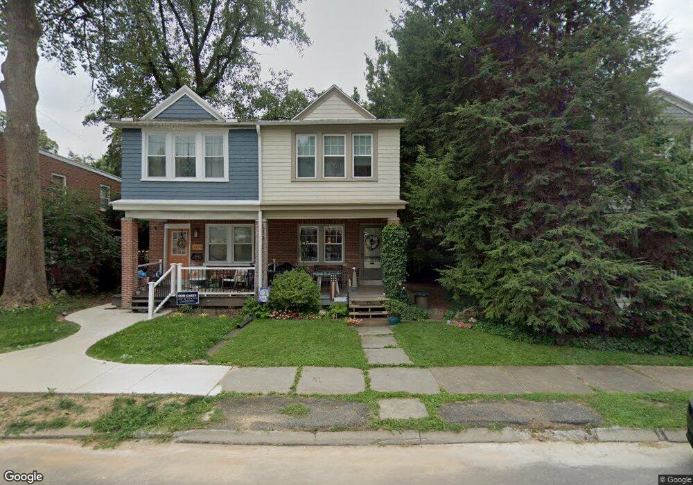
1172 Elm Ave Lancaster, PA 17603
West Lancaster NeighborhoodEstimated Value: $256,000 - $296,000
3
Beds
1
Bath
1,016
Sq Ft
$267/Sq Ft
Est. Value
About This Home
This home is located at 1172 Elm Ave, Lancaster, PA 17603 and is currently estimated at $271,212, approximately $266 per square foot. 1172 Elm Ave is a home located in Lancaster County with nearby schools including Smith-Wade-El Elementary School, Wheatland Middle School, and McCaskey High School.
Ownership History
Date
Name
Owned For
Owner Type
Purchase Details
Closed on
Mar 23, 2007
Sold by
Myers Carol S
Bought by
Zifchak Larisa M
Current Estimated Value
Home Financials for this Owner
Home Financials are based on the most recent Mortgage that was taken out on this home.
Original Mortgage
$101,250
Outstanding Balance
$61,520
Interest Rate
6.33%
Mortgage Type
Purchase Money Mortgage
Estimated Equity
$209,692
Create a Home Valuation Report for This Property
The Home Valuation Report is an in-depth analysis detailing your home's value as well as a comparison with similar homes in the area
Home Values in the Area
Average Home Value in this Area
Purchase History
| Date | Buyer | Sale Price | Title Company |
|---|---|---|---|
| Zifchak Larisa M | $135,000 | None Available |
Source: Public Records
Mortgage History
| Date | Status | Borrower | Loan Amount |
|---|---|---|---|
| Open | Zifchak Larisa M | $101,250 |
Source: Public Records
Tax History Compared to Growth
Tax History
| Year | Tax Paid | Tax Assessment Tax Assessment Total Assessment is a certain percentage of the fair market value that is determined by local assessors to be the total taxable value of land and additions on the property. | Land | Improvement |
|---|---|---|---|---|
| 2025 | $3,282 | $113,800 | $41,400 | $72,400 |
| 2024 | $3,282 | $113,800 | $41,400 | $72,400 |
| 2023 | $3,206 | $113,800 | $41,400 | $72,400 |
| 2022 | $3,015 | $113,800 | $41,400 | $72,400 |
| 2021 | $2,924 | $113,800 | $41,400 | $72,400 |
| 2020 | $2,924 | $113,800 | $41,400 | $72,400 |
| 2019 | $2,862 | $113,800 | $41,400 | $72,400 |
| 2018 | $1,990 | $113,800 | $41,400 | $72,400 |
| 2017 | $2,772 | $84,800 | $28,500 | $56,300 |
| 2016 | $2,721 | $84,800 | $28,500 | $56,300 |
| 2015 | $368 | $84,800 | $28,500 | $56,300 |
| 2014 | $1,835 | $84,800 | $28,500 | $56,300 |
Source: Public Records
Map
Nearby Homes
- 303 Perry Ave
- 120 Atkins Ave
- 1252 Elm Ave
- 1303 Cheves Place
- 338 Atkins Ave
- 19 Atkins Ave
- 1055 Columbia Ave
- 1011 Maple Ave
- 929 Edgewood Ave
- 919 Edgewood Ave
- 231 S West End Ave
- 1266 Wilson Ave
- 917 Columbia Ave Unit 233
- 917 Columbia Ave Unit 633
- 917 Columbia Ave Unit 512
- 917 Columbia Ave Unit 221
- 917 Columbia Ave Unit 533
- 917 Columbia Ave Unit 413
- 917 Columbia Ave Unit 726
- 837 Columbia Ave