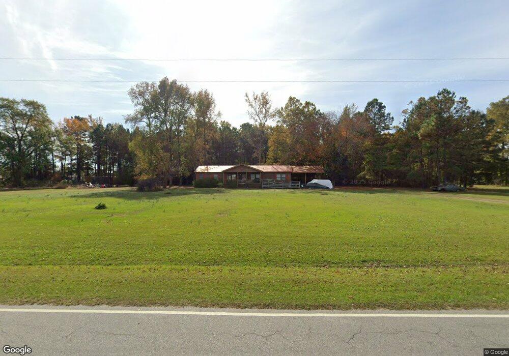
1172 Phillips Rd Rocky Mount, NC 27801
Estimated Value: $190,000 - $224,000
3
Beds
2
Baths
1,728
Sq Ft
$123/Sq Ft
Est. Value
About This Home
This home is located at 1172 Phillips Rd, Rocky Mount, NC 27801 and is currently estimated at $212,093, approximately $122 per square foot. 1172 Phillips Rd is a home with nearby schools including G.W. Bulluck Elementary School, West Edgecombe Middle School, and Southwest Edgecombe High School.
Ownership History
Date
Name
Owned For
Owner Type
Purchase Details
Closed on
Dec 27, 2024
Sold by
Parker Michelle Eason and Parker William Lee
Bought by
Parker Warren Lee
Current Estimated Value
Purchase Details
Closed on
Feb 27, 2019
Sold by
Butler Peggy T and Butler Chester M
Bought by
Eason John D
Home Financials for this Owner
Home Financials are based on the most recent Mortgage that was taken out on this home.
Original Mortgage
$92,000
Interest Rate
4.4%
Mortgage Type
New Conventional
Create a Home Valuation Report for This Property
The Home Valuation Report is an in-depth analysis detailing your home's value as well as a comparison with similar homes in the area
Home Values in the Area
Average Home Value in this Area
Purchase History
| Date | Buyer | Sale Price | Title Company |
|---|---|---|---|
| Parker Warren Lee | -- | None Listed On Document | |
| Parker Warren Lee | -- | None Listed On Document | |
| Eason John D | $110,000 | -- |
Source: Public Records
Mortgage History
| Date | Status | Borrower | Loan Amount |
|---|---|---|---|
| Previous Owner | Eason John D | $92,000 |
Source: Public Records
Tax History Compared to Growth
Tax History
| Year | Tax Paid | Tax Assessment Tax Assessment Total Assessment is a certain percentage of the fair market value that is determined by local assessors to be the total taxable value of land and additions on the property. | Land | Improvement |
|---|---|---|---|---|
| 2024 | $1,932 | $0 | $0 | $0 |
| 2023 | $1,571 | $0 | $0 | $0 |
| 2022 | $1,571 | $0 | $0 | $0 |
| 2021 | $1,571 | $0 | $0 | $0 |
| 2020 | $1,506 | $0 | $0 | $0 |
| 2019 | $1,506 | $0 | $0 | $0 |
| 2018 | $1,506 | $0 | $0 | $0 |
| 2017 | $150,622 | $0 | $0 | $0 |
| 2016 | $1,531 | $0 | $0 | $0 |
| 2015 | $153,094 | $0 | $0 | $0 |
| 2014 | $142,873 | $0 | $0 | $0 |
Source: Public Records
Map
Nearby Homes
- 216 Katie Dr
- 9007 Brookfield Dr
- 9015 Brookfield Dr
- E Main St
- 404 Hilltop Dr
- 406 Hilltop Dr
- 2808 S Wesleyan Blvd
- 4040 S Hathaway Blvd
- 75 Harper Farm Ln
- 8833 Town Creek Rd
- 604 Speight Dr
- 804 Mill Branch Rd
- 709 Queen St
- 625 Speight Dr
- 605 Judge St
- 117 Holly Dr
- 4001 Arlington St
- 8804 Mill Branch Rd
- 5014 Davis Rd
- 00 Town Creek
- 1098 Phillips Rd
- 1099 Phillips Rd
- 1048 Phillips Rd
- 1040 Phillips Rd
- 1047 Phillips Rd
- 2 Jess Ln
- 1036 Phillips Rd
- 1083 Phillips Rd
- 1010 Phillips Rd
- 984 Phillips Rd
- 976 Phillips Rd
- 956 Phillips Rd
- 914 Phillips Rd
- 1488 Phillips Rd
- 1520 Phillips Rd
- 158 Honeysuckle Ln
- 000 Phillips
- 710 Batchelor Rd
- 707 Batchelor Rd
- 703 Batchelor Rd