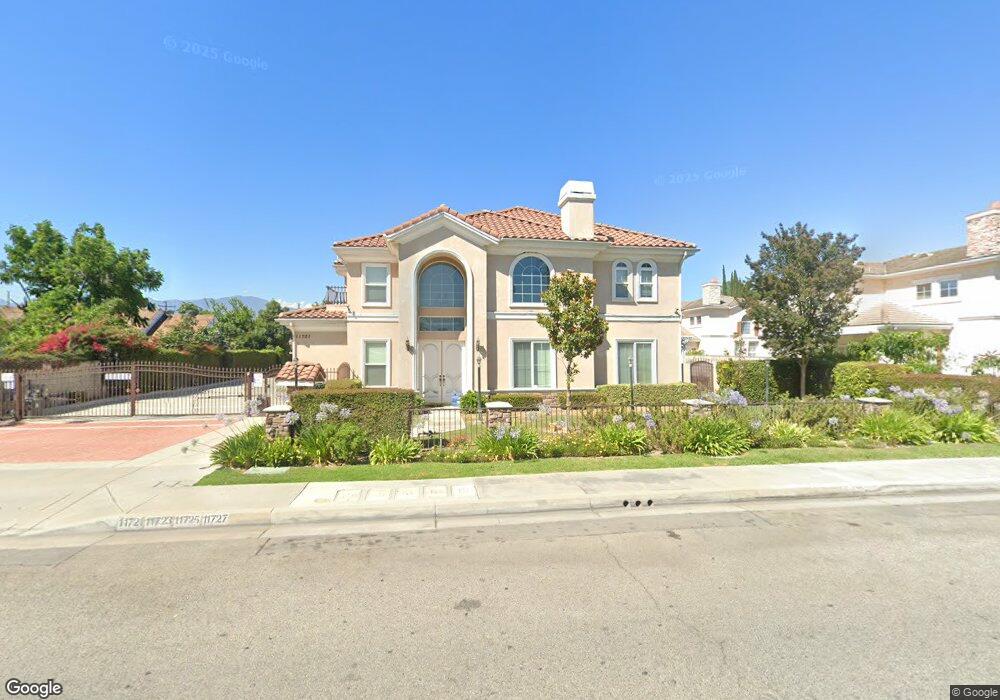
11721 Ferris Rd El Monte, CA 91732
River East NeighborhoodEstimated Value: $933,000 - $1,138,000
5
Beds
4
Baths
2,720
Sq Ft
$382/Sq Ft
Est. Value
About This Home
This home is located at 11721 Ferris Rd, El Monte, CA 91732 and is currently estimated at $1,038,668, approximately $381 per square foot. 11721 Ferris Rd is a home located in Los Angeles County with nearby schools including Rio Hondo School, El Monte High School, and New Life Christian School.
Ownership History
Date
Name
Owned For
Owner Type
Purchase Details
Closed on
Aug 8, 2008
Sold by
Liang Hsiu Yen and Liang Mei Ling
Bought by
Khou Darrow
Current Estimated Value
Home Financials for this Owner
Home Financials are based on the most recent Mortgage that was taken out on this home.
Original Mortgage
$410,000
Outstanding Balance
$271,461
Interest Rate
6.51%
Mortgage Type
Purchase Money Mortgage
Estimated Equity
$767,207
Create a Home Valuation Report for This Property
The Home Valuation Report is an in-depth analysis detailing your home's value as well as a comparison with similar homes in the area
Home Values in the Area
Average Home Value in this Area
Purchase History
| Date | Buyer | Sale Price | Title Company |
|---|---|---|---|
| Khou Darrow | $606,000 | Chicago Title |
Source: Public Records
Mortgage History
| Date | Status | Borrower | Loan Amount |
|---|---|---|---|
| Open | Khou Darrow | $410,000 |
Source: Public Records
Tax History
| Year | Tax Paid | Tax Assessment Tax Assessment Total Assessment is a certain percentage of the fair market value that is determined by local assessors to be the total taxable value of land and additions on the property. | Land | Improvement |
|---|---|---|---|---|
| 2025 | $10,564 | $780,368 | $272,482 | $507,886 |
| 2024 | $10,564 | $765,068 | $267,140 | $497,928 |
| 2023 | $10,458 | $750,067 | $261,902 | $488,165 |
| 2022 | $9,964 | $735,361 | $256,767 | $478,594 |
| 2021 | $10,578 | $720,943 | $251,733 | $469,210 |
| 2019 | $10,315 | $699,561 | $244,267 | $455,294 |
| 2018 | $10,167 | $685,845 | $239,478 | $446,367 |
| 2016 | $9,780 | $659,215 | $230,180 | $429,035 |
| 2015 | $9,671 | $649,314 | $226,723 | $422,591 |
| 2014 | $8,593 | $587,000 | $205,000 | $382,000 |
Source: Public Records
Map
Nearby Homes
- 11670 Ferris Rd
- 3548 Whistler Ave
- 11919 Deana St Unit B
- 11722 Bryant Rd
- 3912 Maple Ave
- 11834 Kerrwood St
- 4104 Elrovia Ave
- 12122 Ferris Rd Unit 1
- 11326 Forest Grove St
- 3717 1/2 Pine Ave
- 11825 Basye St
- 4014 Cedar Ave
- 3813 Lincoln Ave
- 12141 Ramona Blvd
- 4042 Maxson Rd Unit C
- 3957 Durfee Ave
- 3554 Durfee Ave
- 3840 Durfee Ave
- 11123 Legion Loop Unit 101
- 11130 Legion Loop Unit 105
- 11723 Ferris Rd
- 11739 Ferris Rd
- 11737 Ferris Rd
- 11713 Ferris Rd
- 11725 Ferris Rd
- 11735 Ferris Rd
- 3810 Richwood Ave
- 11743 Ferris Rd
- 3711 La Madera Ave
- 11708 Ferris Rd
- 11727 Ferris Rd
- 3715 La Madera Ave
- 11726 Ferris Rd
- 11718 Ferris Rd
- 11740 Ferris Rd
- 11733 Ferris Rd
- 11734 Ferris Rd
- 3822 Richwood Ave
- 11702 Ferris Rd
- 3723 La Madera Ave
Your Personal Tour Guide
Ask me questions while you tour the home.