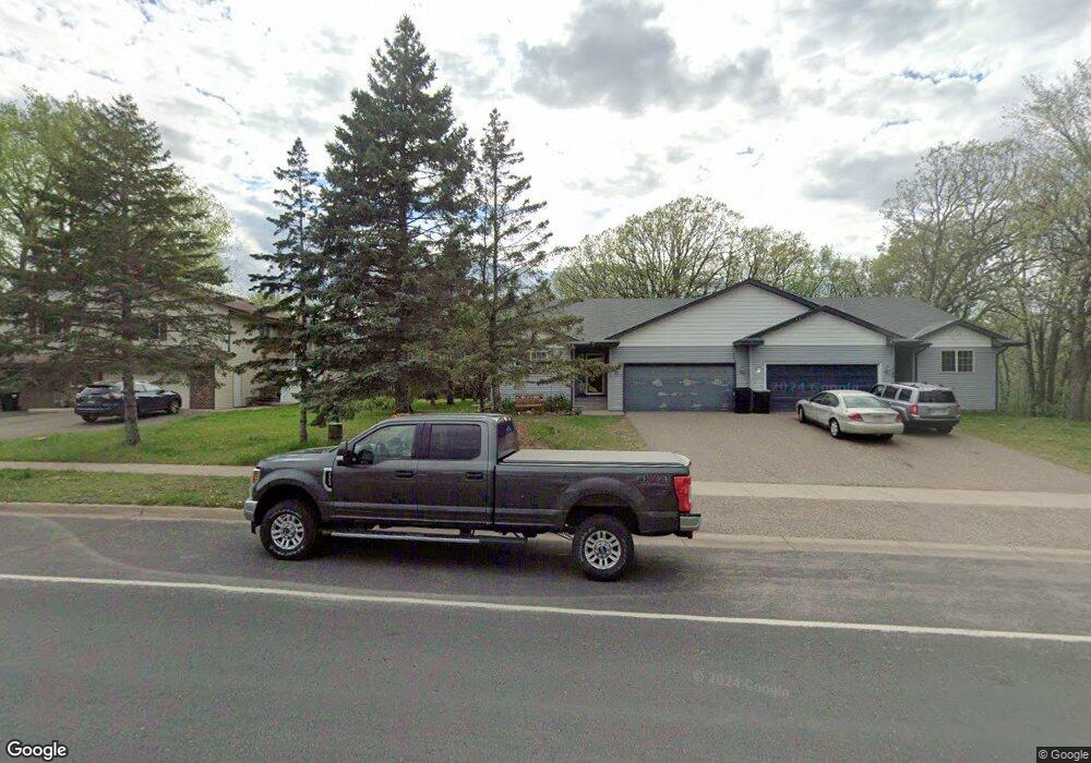
11732 Pheasant Ridge Dr NW Coon Rapids, MN 55433
Estimated Value: $290,000 - $352,611
3
Beds
1
Bath
1,321
Sq Ft
$245/Sq Ft
Est. Value
About This Home
This home is located at 11732 Pheasant Ridge Dr NW, Coon Rapids, MN 55433 and is currently estimated at $323,903, approximately $245 per square foot. 11732 Pheasant Ridge Dr NW is a home located in Anoka County with nearby schools including Lucile Bruner Elementary School, Mississippi Elementary School, and Laughlin Junior/Senior High School.
Ownership History
Date
Name
Owned For
Owner Type
Purchase Details
Closed on
Feb 5, 2018
Sold by
Doely Sheila K
Bought by
Graphenteen Shirley R and Noska Michael J
Current Estimated Value
Home Financials for this Owner
Home Financials are based on the most recent Mortgage that was taken out on this home.
Original Mortgage
$97,000
Outstanding Balance
$82,068
Interest Rate
3.95%
Mortgage Type
New Conventional
Estimated Equity
$241,835
Purchase Details
Closed on
Sep 28, 2005
Sold by
Sw Wold Construction Inc
Bought by
Richardson Jim and Richardson Diane
Create a Home Valuation Report for This Property
The Home Valuation Report is an in-depth analysis detailing your home's value as well as a comparison with similar homes in the area
Home Values in the Area
Average Home Value in this Area
Purchase History
| Date | Buyer | Sale Price | Title Company |
|---|---|---|---|
| Graphenteen Shirley R | -- | First American Title Co | |
| Richardson Jim | $240,000 | -- |
Source: Public Records
Mortgage History
| Date | Status | Borrower | Loan Amount |
|---|---|---|---|
| Open | Graphenteen Shirley R | $97,000 |
Source: Public Records
Tax History Compared to Growth
Tax History
| Year | Tax Paid | Tax Assessment Tax Assessment Total Assessment is a certain percentage of the fair market value that is determined by local assessors to be the total taxable value of land and additions on the property. | Land | Improvement |
|---|---|---|---|---|
| 2025 | $3,444 | $331,900 | $70,000 | $261,900 |
| 2024 | $3,444 | $317,000 | $67,000 | $250,000 |
| 2023 | $2,706 | $301,900 | $60,000 | $241,900 |
| 2022 | $2,784 | $271,900 | $46,500 | $225,400 |
| 2021 | $2,946 | $246,500 | $40,000 | $206,500 |
| 2020 | $2,863 | $243,800 | $35,000 | $208,800 |
| 2019 | $2,679 | $226,100 | $35,000 | $191,100 |
| 2018 | $2,199 | $204,200 | $0 | $0 |
| 2017 | $2,307 | $176,800 | $0 | $0 |
| 2016 | $2,317 | $152,800 | $0 | $0 |
| 2015 | $2,296 | $163,200 | $27,600 | $135,600 |
| 2014 | -- | $133,600 | $16,900 | $116,700 |
Source: Public Records
Map
Nearby Homes
- 3501 115th Ln NW
- 11984 Orchid St NW
- 11901 Vintage St NW
- 11927 Vintage St NW
- 3020 117th Ave NW
- 3074 121st Ave NW
- 3649 121st Ave NW
- 12189 Lily St NW
- 2862 116th Ave NW
- 11749 Crooked Lake Blvd NW
- 2851 113th Ave NW
- 1015 South St
- 12019 Zion St NW
- 11601 9th Ave NW
- 6505 119th Place N
- 4193 119th Ln NW
- 1224 8th Ln
- 3953 124th Ave NW
- 2965 108th Ln NW
- 7101 120th Ave N
- 11724 Pheasant Ridge Dr NW
- 11740 Pheasant Ridge Dr NW
- 11716 Pheasant Ridge Dr NW
- 11708 Pheasant Ridge Dr NW
- 3375 117th Ave NW
- 3365 117th Ave NW
- 3407 116th Ln NW
- 3413 116th Ln NW
- 3366 117th Ave NW
- 3421 116th Ln NW
- 3359 117th Ave NW
- 11750 Orchid Cir NW
- 3360 117th Ave NW
- 3387 116th Ln NW
- 3433 116th Ln NW
- 11766 Orchid Cir NW
- 3355 116th Ln NW
- 3445 116th Ln NW
- 3344 117th Ave NW
- 3343 116th Ln NW