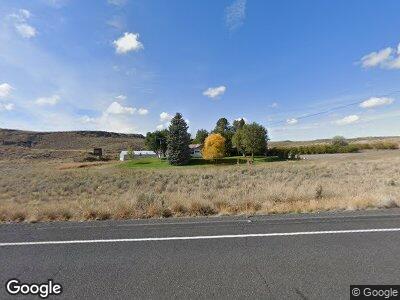
11735 State Route 17 Mansfield, WA 98830
Estimated Value: $216,000 - $266,000
2
Beds
1
Bath
1,266
Sq Ft
$192/Sq Ft
Est. Value
About This Home
This home is located at 11735 State Route 17, Mansfield, WA 98830 and is currently estimated at $243,053, approximately $191 per square foot. 11735 State Route 17 is a home located in Douglas County with nearby schools including Bridgeport Elementary School, Bridgeport Middle School, and Bridgeport High School.
Ownership History
Date
Name
Owned For
Owner Type
Purchase Details
Closed on
Jan 26, 2022
Sold by
Cavadini Daniel Dominic
Bought by
Wesselman Sean D and Wesselman Charity S
Current Estimated Value
Home Financials for this Owner
Home Financials are based on the most recent Mortgage that was taken out on this home.
Original Mortgage
$160,000
Outstanding Balance
$149,439
Interest Rate
3.22%
Mortgage Type
New Conventional
Estimated Equity
$109,935
Purchase Details
Closed on
Apr 23, 2021
Sold by
Wesselman Family Llc
Bought by
Cavadini Daniel Dominic
Purchase Details
Closed on
Jan 29, 2014
Sold by
Wesselman Edmund A and Wesselman Marie T
Bought by
Wesselman Family Llc
Create a Home Valuation Report for This Property
The Home Valuation Report is an in-depth analysis detailing your home's value as well as a comparison with similar homes in the area
Home Values in the Area
Average Home Value in this Area
Purchase History
| Date | Buyer | Sale Price | Title Company |
|---|---|---|---|
| Wesselman Sean D | -- | North Meridian Title | |
| Cavadini Daniel Dominic | $903,823 | North Meridian T&E Llc | |
| Wesselman Family Llc | -- | None Available |
Source: Public Records
Mortgage History
| Date | Status | Borrower | Loan Amount |
|---|---|---|---|
| Open | Wesselman Sean D | $160,000 |
Source: Public Records
Tax History Compared to Growth
Tax History
| Year | Tax Paid | Tax Assessment Tax Assessment Total Assessment is a certain percentage of the fair market value that is determined by local assessors to be the total taxable value of land and additions on the property. | Land | Improvement |
|---|---|---|---|---|
| 2025 | $1,419 | $157,200 | $9,800 | $147,400 |
| 2024 | $1,419 | $159,700 | $9,900 | $149,800 |
| 2023 | $1,522 | $159,000 | $9,200 | $149,800 |
| 2022 | $1,503 | $142,400 | $9,200 | $133,200 |
| 2021 | $1,553 | $142,400 | $9,200 | $133,200 |
| 2020 | $1,360 | $142,400 | $9,200 | $133,200 |
| 2018 | $1,364 | $126,900 | $9,500 | $117,400 |
| 2017 | $1,273 | $126,900 | $9,500 | $117,400 |
| 2016 | $1,138 | $126,700 | $9,300 | $117,400 |
| 2015 | $1,014 | $112,900 | $12,100 | $100,800 |
| 2014 | -- | $112,000 | $11,200 | $100,800 |
| 2013 | -- | $87,800 | $9,600 | $78,200 |
Source: Public Records
Map
Nearby Homes
- 0 Prcl 28-27-23-20005 and 20004 Unit NWM2276347
- 0 Abc 16 Rd NE Unit NWM2288075
- 0 Bz 16 Rd NE Unit NWM2288709
- 11031 Washington 17
- 4 parcels Road J NE
- 700 Pearl Hill Rd NE
- 18926 Road 50 NE
- 131 Hamilton St
- 61 Dyer Hill Rd
- 8 Old Highland Orchard Rd
- 122 S Mansfield Blvd
- 110 Mansfield Blvd
- 12 Walnut St
- 55429 Bay Area Dr NE
- 1163 Strahl Canyon Rd
- 0 Nna Sr 17
- 0 Two Parcels Road B NE
- 210 W Kelso Ave
- 1001 Strahl Canyon Rd Unit 11
- 1001 Strahl Canyon Rd Unit 1-20
