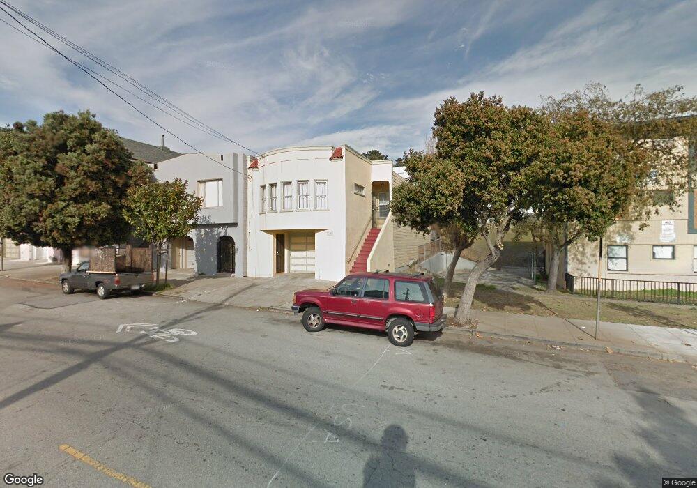
1174 Palou Ave San Francisco, CA 94124
Hunters Point NeighborhoodEstimated Value: $786,000 - $878,000
--
Bed
1
Bath
1,350
Sq Ft
$609/Sq Ft
Est. Value
About This Home
This home is located at 1174 Palou Ave, San Francisco, CA 94124 and is currently estimated at $821,864, approximately $608 per square foot. 1174 Palou Ave is a home located in San Francisco County with nearby schools including Carver (George Washington) Elementary School, Willie L. Brown Jr. Middle School, and KIPP Bayview Elementary.
Ownership History
Date
Name
Owned For
Owner Type
Purchase Details
Closed on
May 3, 2019
Sold by
Campbell Ruthernella
Bought by
Campbell Ruthernella and The Ruthernella Campbell Livin
Current Estimated Value
Purchase Details
Closed on
Jul 14, 2009
Sold by
Campbell Samuel Lee and Campbell Eula
Bought by
Campbell Ruthernella
Purchase Details
Closed on
Mar 2, 2007
Sold by
Campbell Samuel Lee and Campbell Eula
Bought by
Campbell Samuel Lee and Campbell Eula
Create a Home Valuation Report for This Property
The Home Valuation Report is an in-depth analysis detailing your home's value as well as a comparison with similar homes in the area
Home Values in the Area
Average Home Value in this Area
Purchase History
| Date | Buyer | Sale Price | Title Company |
|---|---|---|---|
| Campbell Ruthernella | -- | None Available | |
| Campbell Ruthernella | -- | Orange Coast Title | |
| Campbell Samuel Lee | -- | None Available |
Source: Public Records
Tax History Compared to Growth
Tax History
| Year | Tax Paid | Tax Assessment Tax Assessment Total Assessment is a certain percentage of the fair market value that is determined by local assessors to be the total taxable value of land and additions on the property. | Land | Improvement |
|---|---|---|---|---|
| 2025 | $2,499 | $148,908 | $77,323 | $71,585 |
| 2024 | $2,499 | $145,991 | $75,808 | $70,183 |
| 2023 | $2,452 | $143,131 | $74,323 | $68,808 |
| 2022 | $2,388 | $140,325 | $72,866 | $67,459 |
| 2021 | $2,340 | $137,575 | $71,438 | $66,137 |
| 2020 | $2,372 | $136,166 | $70,706 | $65,460 |
| 2019 | $2,213 | $133,462 | $69,301 | $64,161 |
| 2018 | $2,139 | $130,849 | $67,944 | $62,905 |
| 2017 | $1,814 | $128,285 | $66,613 | $61,672 |
| 2016 | $1,753 | $125,772 | $65,308 | $60,464 |
| 2015 | $1,728 | $123,886 | $64,329 | $59,557 |
| 2014 | $1,682 | $121,464 | $63,071 | $58,393 |
Source: Public Records
Map
Nearby Homes
- 0 Ship St Unit HD24144152
- 0 Ship St Unit HD24144130
- 0 Ship St Unit HD24144117
- 0 Ship St Unit HD24144142
- 1143 Palou Ave
- 59 Kiska Rd
- 51 Kiska Rd Unit 34
- 1347 Shafter Ave
- 1278 Thomas Ave
- 19 Progress St
- 1414 Shafter Ave
- 1379-1381 Palou Ave
- 1411 Oakdale Ave
- 1942 Jennings St
- 983 Innes Ave
- 1463 Thomas Ave
- 1537 Revere Ave
- 1515 Van Dyke Ave
- 1590 Underwood Ave
- 137 Nautilus Ct Unit 82