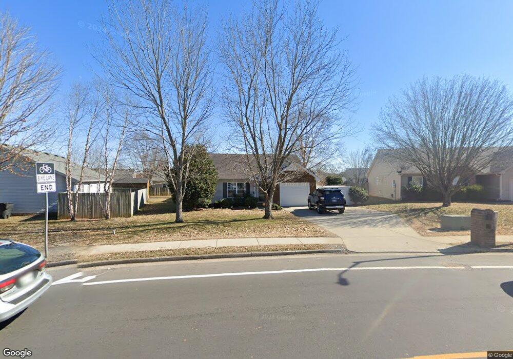
1175 Saint Andrews Dr Murfreesboro, TN 37128
Estimated Value: $304,914 - $331,000
--
Bed
2
Baths
1,224
Sq Ft
$264/Sq Ft
Est. Value
About This Home
This home is located at 1175 Saint Andrews Dr, Murfreesboro, TN 37128 and is currently estimated at $323,479, approximately $264 per square foot. 1175 Saint Andrews Dr is a home located in Rutherford County with nearby schools including Cason Lane Academy, Rockvale Middle School, and Rockvale High School.
Ownership History
Date
Name
Owned For
Owner Type
Purchase Details
Closed on
Apr 16, 2015
Sold by
Crownover Katie R
Bought by
Al-Greene John E Karen A
Current Estimated Value
Home Financials for this Owner
Home Financials are based on the most recent Mortgage that was taken out on this home.
Original Mortgage
$107,200
Outstanding Balance
$82,913
Interest Rate
3.87%
Mortgage Type
New Conventional
Estimated Equity
$240,566
Purchase Details
Closed on
Jun 30, 2009
Sold by
Sires Nathan W
Bought by
Chase Gerald
Home Financials for this Owner
Home Financials are based on the most recent Mortgage that was taken out on this home.
Original Mortgage
$131,562
Interest Rate
5.27%
Mortgage Type
Purchase Money Mortgage
Purchase Details
Closed on
Nov 16, 2000
Sold by
Cason Lane Dev Llc
Bought by
Sires Nathan W and Sires Tiffany N
Home Financials for this Owner
Home Financials are based on the most recent Mortgage that was taken out on this home.
Original Mortgage
$92,852
Interest Rate
7.82%
Create a Home Valuation Report for This Property
The Home Valuation Report is an in-depth analysis detailing your home's value as well as a comparison with similar homes in the area
Home Values in the Area
Average Home Value in this Area
Purchase History
| Date | Buyer | Sale Price | Title Company |
|---|---|---|---|
| Al-Greene John E Karen A | $134,000 | -- | |
| Chase Gerald | $134,000 | -- | |
| Sires Nathan W | $92,900 | -- |
Source: Public Records
Mortgage History
| Date | Status | Borrower | Loan Amount |
|---|---|---|---|
| Open | Al-Greene John E Karen A | $107,200 | |
| Previous Owner | Sires Nathan W | $131,562 | |
| Previous Owner | Sires Nathan W | $92,852 |
Source: Public Records
Tax History Compared to Growth
Tax History
| Year | Tax Paid | Tax Assessment Tax Assessment Total Assessment is a certain percentage of the fair market value that is determined by local assessors to be the total taxable value of land and additions on the property. | Land | Improvement |
|---|---|---|---|---|
| 2025 | $1,725 | $60,950 | $13,750 | $47,200 |
| 2024 | $1,725 | $60,950 | $13,750 | $47,200 |
| 2023 | $1,144 | $60,950 | $13,750 | $47,200 |
| 2022 | $985 | $60,950 | $13,750 | $47,200 |
| 2021 | $924 | $41,625 | $9,375 | $32,250 |
| 2020 | $924 | $41,625 | $9,375 | $32,250 |
| 2019 | $924 | $41,625 | $9,375 | $32,250 |
| 2018 | $1,269 | $41,625 | $0 | $0 |
| 2017 | $1,175 | $30,225 | $0 | $0 |
| 2016 | $1,175 | $30,225 | $0 | $0 |
| 2015 | $1,175 | $30,225 | $0 | $0 |
| 2014 | $752 | $30,225 | $0 | $0 |
| 2013 | -- | $30,425 | $0 | $0 |
Source: Public Records
Map
Nearby Homes
- 2940 Waywood Dr
- 725 Stonetrace Dr
- 627 Tidesridge Ct
- 2905 Stonehedge Dr
- 647 Stonetrace Dr
- 1518 Saint Andrews Dr
- 1421 Rebecca Johns Dr
- 1442 Rebecca Johns Dr Unit V20
- 1710 Locerbie Dr
- 3315 Alta Ln
- 3331 Alta Ln
- 412 Conhocken Ct
- 1541 Teresa Ln
- 2307 Katie Ct
- 1419 Cason Trail
- 1725 Satterfield Ct
- 1417 Ovaldale Dr
- 539 River Rock Blvd
- 1823 Joben Dr
- 2326 Amber Glen Dr
- 1179 Saint Andrews Dr
- 2913 Roscommon Dr
- 1114 Melvin Dr
- 1118 Melvin Dr
- 1183 Saint Andrews Dr
- 1126 Melvin Dr
- 1130 Melvin Dr
- 1176 Saint Andrews Dr
- 3003 Roscommon Dr
- 1187 Saint Andrews Dr
- 1187 St Andrews Dr
- 1134 Melvin Dr
- 2914 Roscommon Dr
- 1111 Melvin Dr
- 2910 Roscommon Dr
- 1115 Melvin Dr
- 1107 Melvin Dr
- 1138 Melvin Dr
- 1180 Saint Andrews Dr
- 1119 Melvin Dr