11754 Red Rock Rd Glouster, OH 45732
Estimated Value: $221,000 - $338,009
4
Beds
4
Baths
1,912
Sq Ft
$148/Sq Ft
Est. Value
About This Home
This home is located at 11754 Red Rock Rd, Glouster, OH 45732 and is currently estimated at $282,252, approximately $147 per square foot. 11754 Red Rock Rd is a home located in Athens County with nearby schools including Trimble Elementary School, Trimble Middle School, and Trimble High School.
Ownership History
Date
Name
Owned For
Owner Type
Purchase Details
Closed on
Jun 30, 2011
Sold by
Trace Prentice Ann
Bought by
Burdette Robert E and Burdette Tonya M
Current Estimated Value
Home Financials for this Owner
Home Financials are based on the most recent Mortgage that was taken out on this home.
Original Mortgage
$135,000
Outstanding Balance
$93,400
Interest Rate
4.63%
Mortgage Type
New Conventional
Estimated Equity
$188,852
Purchase Details
Closed on
Jun 27, 2011
Sold by
Estate Of Robert Keith Trace
Bought by
Trace Patrice Ann
Home Financials for this Owner
Home Financials are based on the most recent Mortgage that was taken out on this home.
Original Mortgage
$135,000
Outstanding Balance
$93,400
Interest Rate
4.63%
Mortgage Type
New Conventional
Estimated Equity
$188,852
Create a Home Valuation Report for This Property
The Home Valuation Report is an in-depth analysis detailing your home's value as well as a comparison with similar homes in the area
Home Values in the Area
Average Home Value in this Area
Purchase History
| Date | Buyer | Sale Price | Title Company |
|---|---|---|---|
| Burdette Robert E | $135,000 | Secure Title Services | |
| Trace Patrice Ann | -- | Secure Title Services |
Source: Public Records
Mortgage History
| Date | Status | Borrower | Loan Amount |
|---|---|---|---|
| Open | Burdette Robert E | $135,000 |
Source: Public Records
Tax History Compared to Growth
Tax History
| Year | Tax Paid | Tax Assessment Tax Assessment Total Assessment is a certain percentage of the fair market value that is determined by local assessors to be the total taxable value of land and additions on the property. | Land | Improvement |
|---|---|---|---|---|
| 2024 | $3,193 | $76,780 | $8,090 | $68,690 |
| 2023 | $3,134 | $76,780 | $8,090 | $68,690 |
| 2022 | $2,663 | $62,680 | $6,740 | $55,940 |
| 2021 | $2,727 | $62,680 | $6,740 | $55,940 |
| 2020 | $2,616 | $62,680 | $6,740 | $55,940 |
| 2019 | $2,503 | $57,460 | $5,730 | $51,730 |
| 2018 | $2,290 | $47,710 | $5,730 | $41,980 |
| 2017 | $2,227 | $47,710 | $5,730 | $41,980 |
| 2016 | $2,124 | $44,460 | $5,200 | $39,260 |
| 2015 | $2,952 | $44,460 | $5,200 | $39,260 |
| 2014 | $2,952 | $44,640 | $5,200 | $39,440 |
| 2013 | $1,954 | $33,760 | $4,380 | $29,380 |
Source: Public Records
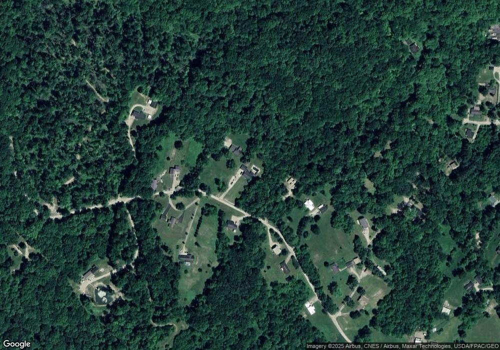
Map
Nearby Homes
- 11829 Red Rock Rd
- 0 Red Rock Rd
- 11789 Congress Run Rd
- 10219 Paulette Dr
- 93 Main St
- Lambert Rd
- 88 Front St
- 10271 Antle Orchard Rd
- 140 Sycamore St
- 145 Sycamore St
- 23 Madison St
- 29 Barbour St
- 31 Locust St
- 0 Loudermilk Rd
- 33 S High St
- 19500 Lake Dr
- 18261 Jacksonville Rd
- 18242 Ohio 13
- 0 Greens Run Rd
- 8445 Pigsah Church Ln
- 11732 Red Rock Rd
- 11796 Red Rock Rd
- 11775 Red Rock Rd
- 11807 Red Rock Rd
- 11680 Red Rock Rd
- 11733 Red Rock Rd
- 21631 Lake Rd
- 21631 Lake Rd
- 11886 Red Rock Rd
- 11871 Red Rock Rd
- 23900 Lake Rd
- 21700 Lake Rd
- 11890 Red Rock Rd
- 11659 Red Rock Rd
- 11905 Red Rock Rd
- 11040 Township Road 299 N
- 6349 Dock 1 Rd
- 11992 Ohio 78
- 11365 Mcdaniel Ln
- 11972 Red Rock Rd