1176 115th St Wayland, IA 52654
Estimated Value: $199,224 - $273,000
4
Beds
2
Baths
1,328
Sq Ft
$171/Sq Ft
Est. Value
About This Home
This home is located at 1176 115th St, Wayland, IA 52654 and is currently estimated at $227,056, approximately $170 per square foot. 1176 115th St is a home located in Henry County with nearby schools including WACO Elementary School and WACO High School.
Ownership History
Date
Name
Owned For
Owner Type
Purchase Details
Closed on
May 2, 2006
Sold by
Curtis Rodnev D and Curtis Rodney Dale
Bought by
Gardner Donald L
Current Estimated Value
Home Financials for this Owner
Home Financials are based on the most recent Mortgage that was taken out on this home.
Original Mortgage
$153,000
Outstanding Balance
$87,975
Interest Rate
6.37%
Mortgage Type
New Conventional
Estimated Equity
$139,081
Create a Home Valuation Report for This Property
The Home Valuation Report is an in-depth analysis detailing your home's value as well as a comparison with similar homes in the area
Home Values in the Area
Average Home Value in this Area
Purchase History
| Date | Buyer | Sale Price | Title Company |
|---|---|---|---|
| Gardner Donald L | $153,000 | None Available |
Source: Public Records
Mortgage History
| Date | Status | Borrower | Loan Amount |
|---|---|---|---|
| Open | Gardner Donald L | $153,000 |
Source: Public Records
Tax History Compared to Growth
Tax History
| Year | Tax Paid | Tax Assessment Tax Assessment Total Assessment is a certain percentage of the fair market value that is determined by local assessors to be the total taxable value of land and additions on the property. | Land | Improvement |
|---|---|---|---|---|
| 2025 | $2,298 | $173,790 | $20,600 | $153,190 |
| 2024 | $2,174 | $158,530 | $20,600 | $137,930 |
| 2023 | $2,226 | $158,530 | $20,600 | $137,930 |
| 2022 | $2,328 | $135,660 | $20,600 | $115,060 |
| 2021 | $2,328 | $135,660 | $20,600 | $115,060 |
| 2020 | $2,286 | $128,470 | $20,600 | $107,870 |
| 2019 | $2,070 | $123,650 | $0 | $0 |
| 2018 | $1,982 | $123,650 | $0 | $0 |
| 2017 | $1,982 | $115,590 | $0 | $0 |
| 2016 | $1,924 | $115,590 | $0 | $0 |
| 2015 | $1,924 | $121,390 | $0 | $0 |
| 2014 | $2,126 | $121,390 | $0 | $0 |
Source: Public Records
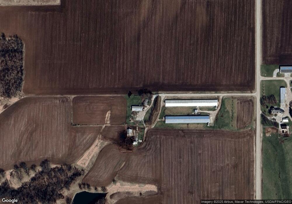
Map
Nearby Homes
- 1083 Benton Ave
- 204 W 3rd St
- 402 E Railroad St
- 408 E Front St
- 1320 Clayton Ave
- Tbd 320th St
- TBD 320th St
- 2604 330th St
- 1326 150th St
- 1750 140th St
- 0 Iowa Ave
- 3327 Terrace Lake Rd
- 3329 Terrace Lake Rd
- 201 S Adams St
- 208 S Main St
- 117 E Washington St
- 410 S Mechanic St
- 408 S Mechanic St
- 113 W Washington St
- 1953 115th St
- 1190 115th St
- 1176 Highway 78
- 1144 Benton Ave
- 1171 Highway 78
- 1097 Benton Ave
- 1153 Highway 78
- 1132 Highway 78
- 1186 120th St
- 1221 Highway 78
- 1225 120th St
- 1118 Highway 78
- 1212 Benton Ave
- 507 W Main St
- 201 N Lincoln St
- 306 S Brooks St
- 204 S Brooks St
- 407 W 4th St
- 202 S Brooks St
- 506 W Front St Unit D
- 408 W 4th St