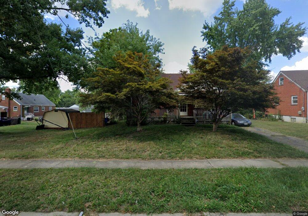
1176 Madeleine Cir Cincinnati, OH 45231
Finneytown NeighborhoodEstimated Value: $218,000 - $264,198
4
Beds
6
Baths
1,362
Sq Ft
$179/Sq Ft
Est. Value
About This Home
This home is located at 1176 Madeleine Cir, Cincinnati, OH 45231 and is currently estimated at $244,050, approximately $179 per square foot. 1176 Madeleine Cir is a home located in Hamilton County with nearby schools including Mt Healthy High School, John Paul II Catholic School, and Central Baptist Academy.
Ownership History
Date
Name
Owned For
Owner Type
Purchase Details
Closed on
May 23, 1994
Sold by
Caludis Anthony and Caludis Stacy L
Bought by
Waller Debra M
Current Estimated Value
Home Financials for this Owner
Home Financials are based on the most recent Mortgage that was taken out on this home.
Original Mortgage
$76,500
Interest Rate
8.34%
Create a Home Valuation Report for This Property
The Home Valuation Report is an in-depth analysis detailing your home's value as well as a comparison with similar homes in the area
Home Values in the Area
Average Home Value in this Area
Purchase History
| Date | Buyer | Sale Price | Title Company |
|---|---|---|---|
| Waller Debra M | -- | -- |
Source: Public Records
Mortgage History
| Date | Status | Borrower | Loan Amount |
|---|---|---|---|
| Closed | Waller Debra M | $76,500 |
Source: Public Records
Tax History Compared to Growth
Tax History
| Year | Tax Paid | Tax Assessment Tax Assessment Total Assessment is a certain percentage of the fair market value that is determined by local assessors to be the total taxable value of land and additions on the property. | Land | Improvement |
|---|---|---|---|---|
| 2024 | $3,882 | $67,008 | $12,096 | $54,912 |
| 2023 | $3,872 | $67,008 | $12,096 | $54,912 |
| 2022 | $2,977 | $41,010 | $11,935 | $29,075 |
| 2021 | $2,905 | $41,010 | $11,935 | $29,075 |
| 2020 | $2,973 | $41,010 | $11,935 | $29,075 |
| 2019 | $2,592 | $34,755 | $10,115 | $24,640 |
| 2018 | $2,394 | $34,755 | $10,115 | $24,640 |
| 2017 | $2,270 | $34,755 | $10,115 | $24,640 |
| 2016 | $2,394 | $35,813 | $10,448 | $25,365 |
| 2015 | $2,422 | $35,813 | $10,448 | $25,365 |
| 2014 | $2,425 | $35,813 | $10,448 | $25,365 |
| 2013 | $2,511 | $37,695 | $10,997 | $26,698 |
Source: Public Records
Map
Nearby Homes
- 8925 Monsanto Dr
- 8950 Daly Rd
- 1190 Sugartree Ct
- 1101 Meadowind Ct
- 1125 Murkett Ct
- 8831 Daly Rd
- 1100 Gracewind Ct
- 8840 Grenada Dr
- 8772 Balboa Dr
- 1116 Madeleine Cir
- 8693 Mockingbird Ln
- 8663 Mockingbird Ln
- 1052 Vacationland Dr
- 8627 Mockingbird Ln
- 8622 Mockingbird Ln
- 8491 Daly Rd
- 8579 Daly Rd
- 8543 Foxcroft Dr
- 1013 Vacationland Dr
- 8584 Mockingbird Ln
- 1174 Madeleine Cir
- 8896 Monsanto Dr
- 8886 Monsanto Dr
- 8912 Monsanto Dr
- 8904 Monsanto Dr
- 1172 Madeleine Cir
- 8920 Monsanto Dr
- 1175 Madeleine Cir
- 1170 Madeleine Cir
- 1179 Madeleine Cir
- 1187 Tassie Ln
- 1173 Madeleine Cir
- 8930 Monsanto Dr
- 1183 Madeleine Cir
- 1169 Madeleine Cir
- 1168 Madeleine Cir
- 1193 Tassie Ln
- 1181 Tassie Ln
- 1186 Madeleine Cir
- 8938 Monsanto Dr