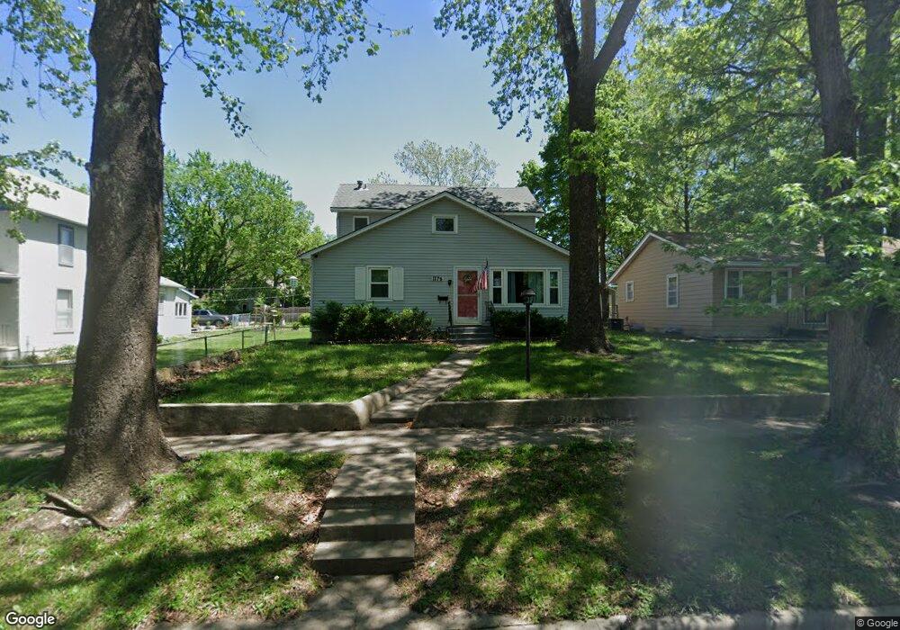
1176 SW High Ave Topeka, KS 66604
Randolph NeighborhoodEstimated Value: $172,000 - $195,000
4
Beds
2
Baths
1,674
Sq Ft
$107/Sq Ft
Est. Value
About This Home
This home is located at 1176 SW High Ave, Topeka, KS 66604 and is currently estimated at $179,507, approximately $107 per square foot. 1176 SW High Ave is a home located in Shawnee County with nearby schools including Buckeye Elementary School, Martin Park Elementary School, and Randolph Elementary School.
Ownership History
Date
Name
Owned For
Owner Type
Purchase Details
Closed on
Nov 15, 2023
Sold by
Horan Thomas E F
Bought by
Olney Aaron and Olney Rhonda
Current Estimated Value
Purchase Details
Closed on
Apr 27, 2006
Sold by
Ward Mark Stephen and Ward Julie
Bought by
Horan Thomas E F
Home Financials for this Owner
Home Financials are based on the most recent Mortgage that was taken out on this home.
Original Mortgage
$98,719
Interest Rate
6.33%
Mortgage Type
FHA
Create a Home Valuation Report for This Property
The Home Valuation Report is an in-depth analysis detailing your home's value as well as a comparison with similar homes in the area
Home Values in the Area
Average Home Value in this Area
Purchase History
| Date | Buyer | Sale Price | Title Company |
|---|---|---|---|
| Olney Aaron | -- | Kansas Secured Title | |
| Horan Thomas E F | -- | Lawyers Title Of Topeka Inc |
Source: Public Records
Mortgage History
| Date | Status | Borrower | Loan Amount |
|---|---|---|---|
| Previous Owner | Horan Thomas E F | $98,719 |
Source: Public Records
Tax History Compared to Growth
Tax History
| Year | Tax Paid | Tax Assessment Tax Assessment Total Assessment is a certain percentage of the fair market value that is determined by local assessors to be the total taxable value of land and additions on the property. | Land | Improvement |
|---|---|---|---|---|
| 2025 | $2,518 | $18,607 | -- | -- |
| 2023 | $2,518 | $16,883 | $0 | $0 |
| 2022 | $2,178 | $14,681 | $0 | $0 |
| 2021 | $1,997 | $12,766 | $0 | $0 |
| 2020 | $1,975 | $12,766 | $0 | $0 |
| 2019 | $1,947 | $12,516 | $0 | $0 |
| 2018 | $1,891 | $12,151 | $0 | $0 |
| 2017 | $1,578 | $10,166 | $0 | $0 |
| 2014 | $1,803 | $11,460 | $0 | $0 |
Source: Public Records
Map
Nearby Homes
- 1181 SW MacVicar Ave
- 1164 SW MacVicar Ave
- 1156 SW Woodward Ave
- 2516 SW Huntoon St
- 1022 SW MacVicar Ave
- 1147 SW Webster Ave
- 1150 SW Collins Ave
- 2812 SW Huntoon St
- 923 SW High Ave
- 2012 SW 10th Ave
- 1115 SW Billard Ave
- 1216 SW College Ave
- 2204 SW Kensington Ct
- 2330 SW Hazelton Ct
- 1432 SW MacVicar Ave
- 1355 SW Medford Ave
- 804 SW High Ave
- 1421 SW Jewell Ave
- 1225 SW Lakeside Dr
- 1327 SW College Ave
- 1180 SW High Ave
- 1172 SW High Ave
- 1186 SW High Ave
- 1168 SW High Ave
- 1175 SW Wayne Ave
- 1181 SW Wayne Ave
- 1190 SW High Ave
- 1166 SW High Ave
- 1171 SW Wayne Ave
- 1183 SW Wayne Ave
- 1175 SW High Ave
- 1179 SW High Ave
- 1171 SW High Ave
- 1167 SW Wayne Ave
- 1185 SW Wayne Ave
- 1164 SW High Ave
- 1196 SW High Ave
- 1183 SW High Ave
- 1165 SW High Ave
- 1165 SW Wayne Ave