11762 67th St NW Annandale, MN 55302
Estimated Value: $290,324 - $416,000
3
Beds
1
Bath
1,334
Sq Ft
$255/Sq Ft
Est. Value
About This Home
This home is located at 11762 67th St NW, Annandale, MN 55302 and is currently estimated at $340,831, approximately $255 per square foot. 11762 67th St NW is a home located in Wright County with nearby schools including Annandale Elementary School, Annandale Middle School, and Annandale Senior High School.
Ownership History
Date
Name
Owned For
Owner Type
Purchase Details
Closed on
Nov 19, 2020
Sold by
Tomes Wayne and Tomes Lisa
Bought by
Tomes Brian and Tomes Brittany
Current Estimated Value
Home Financials for this Owner
Home Financials are based on the most recent Mortgage that was taken out on this home.
Original Mortgage
$171,110
Interest Rate
2.93%
Mortgage Type
New Conventional
Create a Home Valuation Report for This Property
The Home Valuation Report is an in-depth analysis detailing your home's value as well as a comparison with similar homes in the area
Home Values in the Area
Average Home Value in this Area
Purchase History
| Date | Buyer | Sale Price | Title Company |
|---|---|---|---|
| Tomes Brian | $220,000 | Amrock | |
| Tomes Brian Brian | $220,000 | -- |
Source: Public Records
Mortgage History
| Date | Status | Borrower | Loan Amount |
|---|---|---|---|
| Previous Owner | Tomes Brian | $171,110 | |
| Closed | Tomes Brian Brian | $169,590 |
Source: Public Records
Tax History Compared to Growth
Tax History
| Year | Tax Paid | Tax Assessment Tax Assessment Total Assessment is a certain percentage of the fair market value that is determined by local assessors to be the total taxable value of land and additions on the property. | Land | Improvement |
|---|---|---|---|---|
| 2025 | $2,494 | $309,300 | $159,400 | $149,900 |
| 2024 | $2,198 | $324,200 | $171,800 | $152,400 |
| 2023 | $1,930 | $302,200 | $151,200 | $151,000 |
| 2022 | $1,596 | $228,300 | $101,300 | $127,000 |
| 2021 | $1,632 | $184,100 | $83,600 | $100,500 |
| 2020 | $1,660 | $179,100 | $83,600 | $95,500 |
| 2019 | $1,432 | $176,500 | $0 | $0 |
| 2018 | $1,310 | $130,800 | $0 | $0 |
| 2017 | $1,284 | $121,400 | $0 | $0 |
| 2016 | $1,300 | $0 | $0 | $0 |
| 2015 | $1,302 | $0 | $0 | $0 |
| 2014 | -- | $0 | $0 | $0 |
Source: Public Records
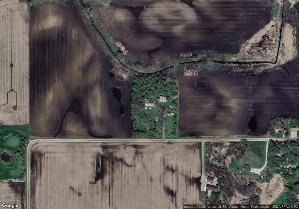
Map
Nearby Homes
- 451 Valley Dr W
- 431 Valley Dr W
- 440 Valley Dr W
- 520 Douglas Dr S
- 510 Douglas Dr S
- 511 Douglas Dr S
- 681 Irwin Cir
- Olson Plan at Triplett Farms
- Lincoln Plan at Triplett Farms
- Goodhue Plan at Triplett Farms
- Henderson Plan at Triplett Farms
- Hancock Plan at Triplett Farms
- Floyd Plan at Triplett Farms
- Hennepin II Plan at Triplett Farms
- Madden Plan at Triplett Farms
- Rachel Plan at Triplett Farms
- 311 Florence Ave S
- 341 Florence Ave S
- 391 Florence Ave S
- 381 Florence Ave S
- 11691 67th St NW
- 11585 67th St NW
- 531 Valley Dr W
- 551 Valley Dr W
- 11564 67th St NW
- 11564 11564 67th-Street-nw
- 6709 County Road 5 NW
- 530 Valley Dr W
- 540 Valley Dr W
- 11536 67th St NW
- XXX 67th
- 6758 County Road 5 NW
- 6645 County Road 5 NW
- 541 Irwin Dr W
- 561 Irwin Dr W
- 6627 County Road 5 NW
- 6956 County Road 5 NW
- 431 Douglas Dr S Unit 37364675
- 420 Excelsior Ave S
- 6986 County Road 5 NW