11774 N Bob Worst Ln Hayden, ID 83835
Estimated Value: $891,000 - $1,505,000
2
Beds
2
Baths
1,388
Sq Ft
$839/Sq Ft
Est. Value
About This Home
This home is located at 11774 N Bob Worst Ln, Hayden, ID 83835 and is currently estimated at $1,164,322, approximately $838 per square foot. 11774 N Bob Worst Ln is a home located in Kootenai County with nearby schools including Hayden Meadows Elementary School, Canfield Middle School, and Coeur d'Alene High School.
Ownership History
Date
Name
Owned For
Owner Type
Purchase Details
Closed on
Mar 1, 2023
Sold by
Enos Bryan
Bought by
Bryan Enos Living Trust
Current Estimated Value
Purchase Details
Closed on
Jan 29, 2019
Sold by
Enos Bryan and Enos Cindy
Bought by
Enos Bryan and Ruf Danielle
Purchase Details
Closed on
Aug 18, 2014
Sold by
Powers Richard S
Bought by
Enos Bryan and Enos Cindy
Home Financials for this Owner
Home Financials are based on the most recent Mortgage that was taken out on this home.
Original Mortgage
$314,000
Interest Rate
4.12%
Mortgage Type
New Conventional
Create a Home Valuation Report for This Property
The Home Valuation Report is an in-depth analysis detailing your home's value as well as a comparison with similar homes in the area
Home Values in the Area
Average Home Value in this Area
Purchase History
| Date | Buyer | Sale Price | Title Company |
|---|---|---|---|
| Bryan Enos Living Trust | -- | -- | |
| Enos Bryan | -- | None Available | |
| Enos Bryan | -- | Kootenai County Title Co |
Source: Public Records
Mortgage History
| Date | Status | Borrower | Loan Amount |
|---|---|---|---|
| Previous Owner | Enos Bryan | $314,000 |
Source: Public Records
Tax History Compared to Growth
Tax History
| Year | Tax Paid | Tax Assessment Tax Assessment Total Assessment is a certain percentage of the fair market value that is determined by local assessors to be the total taxable value of land and additions on the property. | Land | Improvement |
|---|---|---|---|---|
| 2025 | $2,985 | $929,439 | $544,000 | $385,439 |
| 2024 | $2,985 | $909,376 | $544,000 | $365,376 |
| 2023 | $2,985 | $909,376 | $544,000 | $365,376 |
| 2022 | $2,999 | $893,300 | $545,216 | $348,084 |
| 2021 | $2,994 | $594,045 | $340,736 | $253,309 |
| 2020 | $3,059 | $520,317 | $309,760 | $210,557 |
| 2019 | $2,946 | $471,050 | $281,600 | $189,450 |
| 2018 | $2,403 | $367,750 | $256,000 | $111,750 |
| 2017 | $1,970 | $301,740 | $186,000 | $115,740 |
| 2016 | $2,713 | $273,030 | $161,700 | $111,330 |
| 2015 | $2,774 | $273,100 | $161,700 | $111,400 |
| 2013 | $2,435 | $225,150 | $140,000 | $85,150 |
Source: Public Records
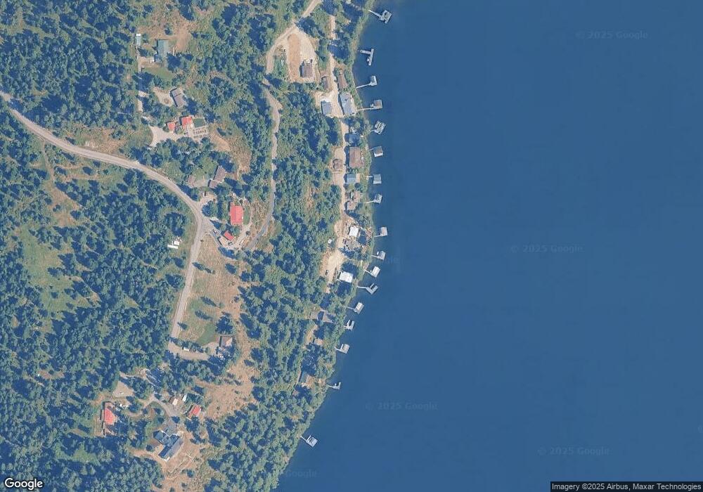
Map
Nearby Homes
- 6469 E Evernade Rd
- NNA E Hayden Lake Road (4 77 Acres)
- 5636 E Waverly Loop
- 7278 E Hayden Haven Rd
- 5401 E Lancaster Rd
- 7566 E Gem Shores Rd
- 4434 E Sorrel Ave
- 13275 N Nannas Nook Ln
- 11633 N Spiraea Ln
- 11693 N Arnicas Ct
- 3825 E English Point Rd
- 3861 E Winray Dr
- 14074 N Peony Ct
- 7324 E Revilo Point Rd
- 7485 E Revilo Point Rd
- 19503 E Hayden Lake Rd
- 12704 N Lakewood Dr
- 11907 N Blue Jay Ct
- 14318 N Waters Edge Ct
- NNA N Shenandoah Dr
- 11790 N Bob Worst Ln
- 11736 N Bob Worst Ln
- 11720 Bob Worst
- 11710 Bob Worst
- 11710 N Bob Worst Ln
- 11824 N Bob Worst Ln
- 11852 N Bob Worst Ln
- 11676 N Bob Worst Ln
- 11874 N Bob Worst Ln
- 11660 N Bob Worst Ln
- 6099 E Mcmahon Rd
- 11720 N Bob Worst Ln
- 0 N Bob Worst Ln
- NNA N Bob Worst Ln
- 11903 N Bob Worst Ln
- 11903 Bob Worst
- NNA Bob Worst Ln
- 6141 E Mcmahon Rd
- 11640 N Bob Worst Ln
- 11912 N Bob Worst Ln