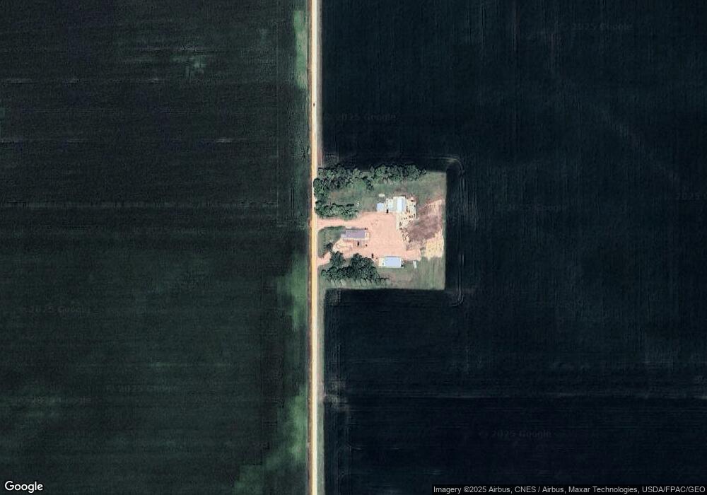
11783 481st Ave Truman, MN 56088
Estimated Value: $347,000
3
Beds
3
Baths
3,864
Sq Ft
$90/Sq Ft
Est. Value
About This Home
This home is located at 11783 481st Ave, Truman, MN 56088 and is currently estimated at $347,000, approximately $89 per square foot. 11783 481st Ave is a home with nearby schools including Maple River Secondary School.
Create a Home Valuation Report for This Property
The Home Valuation Report is an in-depth analysis detailing your home's value as well as a comparison with similar homes in the area
Home Values in the Area
Average Home Value in this Area
Tax History Compared to Growth
Tax History
| Year | Tax Paid | Tax Assessment Tax Assessment Total Assessment is a certain percentage of the fair market value that is determined by local assessors to be the total taxable value of land and additions on the property. | Land | Improvement |
|---|---|---|---|---|
| 2025 | $4,400 | $1,289,300 | $60,000 | $1,229,300 |
| 2024 | $4,400 | $526,500 | $60,000 | $466,500 |
| 2023 | $4,024 | $505,500 | $60,000 | $445,500 |
| 2022 | $3,060 | $441,800 | $60,000 | $381,800 |
| 2021 | $2,976 | $298,800 | $60,000 | $238,800 |
| 2020 | $2,086 | $286,000 | $48,000 | $238,000 |
| 2019 | $1,950 | $286,000 | $48,000 | $238,000 |
| 2018 | $1,438 | $260,500 | $48,000 | $212,500 |
| 2017 | $1,444 | $201,400 | $48,000 | $153,400 |
| 2016 | $1,326 | $195,800 | $48,000 | $147,800 |
| 2015 | $12 | $182,200 | $48,000 | $134,200 |
| 2014 | $1,146 | $182,500 | $48,000 | $134,500 |
Source: Public Records
Map
Nearby Homes
- 43637 State Highway 15
- 2404 State Highway 15
- 225 S 7th Ave E Unit E
- 413 N 1st Ave W
- 114 N 2nd Ave E
- 226 N Central Ave
- 217 N Central Ave
- 402 E 2nd St N
- 413 North St W
- 200 W Maine St
- 340 2nd Ave S
- 300 South St E
- 201 Park Ave N
- 205 Park Ave N
- 305 E Main St
- 1958 State Highway 15
- 865 Mill Race Rd
- 515 Drew Ave SE
- 515 Benzel Ave SW
- 21 1st St SE