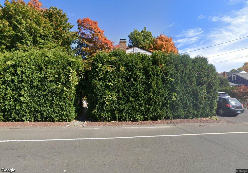
118 Andrews St Bristol, CT 06010
Forestville NeighborhoodEstimated Value: $331,000 - $414,306
4
Beds
3
Baths
1,904
Sq Ft
$198/Sq Ft
Est. Value
About This Home
This home is located at 118 Andrews St, Bristol, CT 06010 and is currently estimated at $377,327, approximately $198 per square foot. 118 Andrews St is a home located in Hartford County with nearby schools including Ellen P. Hubbell School, Northeast Middle School, and Bristol Eastern High School.
Ownership History
Date
Name
Owned For
Owner Type
Purchase Details
Closed on
Oct 26, 1993
Sold by
Dime Sb Ny
Bought by
Gargas Repzard A and Gargas Margerita O
Current Estimated Value
Purchase Details
Closed on
Jun 2, 1987
Sold by
Ware George L
Bought by
Pelletier Louis
Create a Home Valuation Report for This Property
The Home Valuation Report is an in-depth analysis detailing your home's value as well as a comparison with similar homes in the area
Home Values in the Area
Average Home Value in this Area
Purchase History
| Date | Buyer | Sale Price | Title Company |
|---|---|---|---|
| Gargas Repzard A | $102,000 | -- | |
| Pelletier Louis | $134,900 | -- |
Source: Public Records
Mortgage History
| Date | Status | Borrower | Loan Amount |
|---|---|---|---|
| Open | Pelletier Louis | $118,000 | |
| Closed | Pelletier Louis | $130,000 | |
| Closed | Pelletier Louis | $100,000 |
Source: Public Records
Tax History Compared to Growth
Tax History
| Year | Tax Paid | Tax Assessment Tax Assessment Total Assessment is a certain percentage of the fair market value that is determined by local assessors to be the total taxable value of land and additions on the property. | Land | Improvement |
|---|---|---|---|---|
| 2025 | $7,390 | $218,960 | $35,210 | $183,750 |
| 2024 | $6,735 | $211,470 | $35,210 | $176,260 |
| 2023 | $6,418 | $211,470 | $35,210 | $176,260 |
| 2022 | $5,927 | $154,560 | $26,670 | $127,890 |
| 2021 | $5,927 | $154,560 | $26,670 | $127,890 |
| 2020 | $5,927 | $154,560 | $26,670 | $127,890 |
| 2019 | $5,881 | $154,560 | $26,670 | $127,890 |
| 2018 | $5,700 | $154,560 | $26,670 | $127,890 |
| 2017 | $5,508 | $152,880 | $38,080 | $114,800 |
| 2016 | $5,508 | $152,880 | $38,080 | $114,800 |
| 2015 | $5,291 | $152,880 | $38,080 | $114,800 |
| 2014 | $5,291 | $152,880 | $38,080 | $114,800 |
Source: Public Records
Map
Nearby Homes
- 334 W Washington St
- 16 Mechanic St
- 196 Frederick St
- 482 Broad St Unit TRLR 14
- 482 Broad St Unit 3
- 115 Garfield Rd
- 123 Garfield Rd
- 36 Douglas Rd
- 23 Daniel Rd
- 62 Chatham Ln
- 73 Grove Ave
- 220 Blakeslee St Unit 220
- 103 Benham St
- 63 Kenney St
- 437 Stafford Ave
- 36 Surrey Dr
- 54 Downs St
- 35 Buckley Ave
- 38 Buckley Ave
- 30 Adeline Ave
- 106 Andrews St
- 227 W Washington St
- 109 Andrews St
- 100 Andrews St
- 259 W Washington St
- 221 W Washington St
- 138 W Washington St
- 99 Andrews St
- 236 W Washington St
- 6 Stonecrest Dr
- 215 W Washington St
- 92 Andrews St
- 224 W Washington St
- 5 Stonecrest Dr
- 269 W Washington St Unit 1
- 269 W Washington St Unit 7
- 269 W Washington St Unit 5
- 269 W Washington St Unit 8
- 269 W Washington St Unit 3
- 89 Andrews St