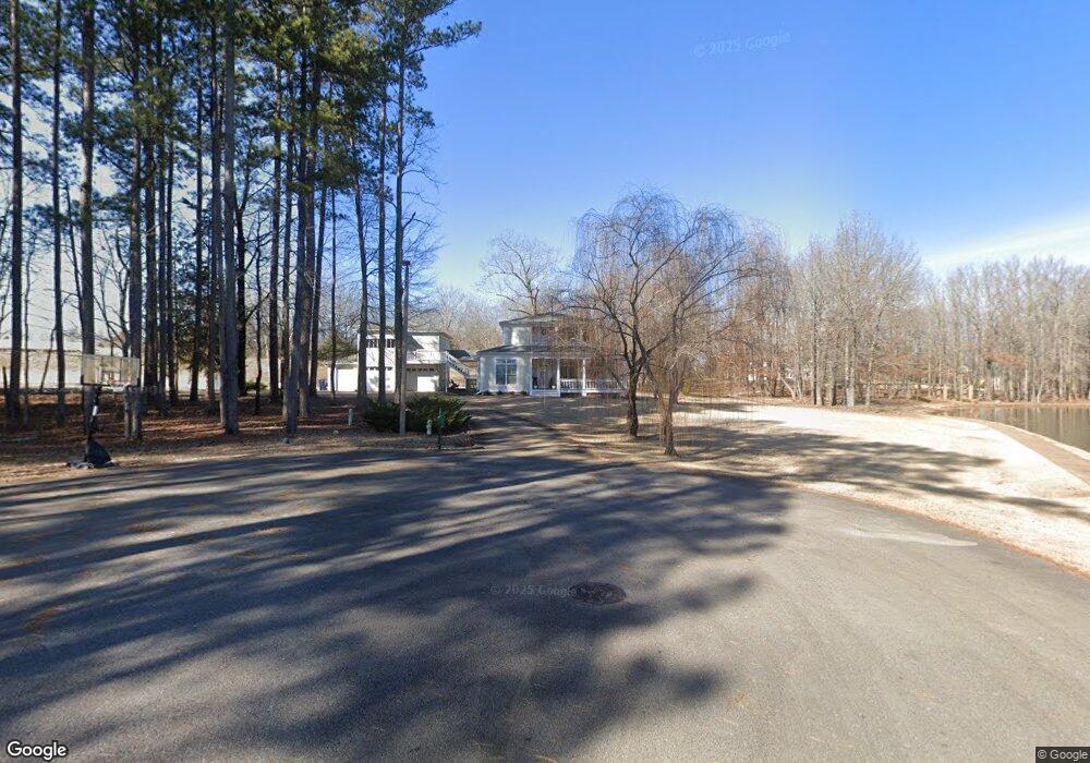
118 Arbor Ln Corinth, MS 38834
Estimated Value: $338,000 - $416,000
Studio
1
Bath
3,016
Sq Ft
$127/Sq Ft
Est. Value
About This Home
This home is located at 118 Arbor Ln, Corinth, MS 38834 and is currently estimated at $383,023, approximately $126 per square foot. 118 Arbor Ln is a home with nearby schools including Corinth Elementary School, Corinth Middle School, and Corinth High School.
Ownership History
Date
Name
Owned For
Owner Type
Purchase Details
Closed on
Aug 28, 2017
Sold by
Shelton Steven Ross and Shelton Courtney Daniels
Bought by
Benson Jody Vaughn and Benson Julie Moffett
Current Estimated Value
Home Financials for this Owner
Home Financials are based on the most recent Mortgage that was taken out on this home.
Original Mortgage
$248,000
Outstanding Balance
$206,216
Interest Rate
3.92%
Mortgage Type
New Conventional
Estimated Equity
$176,807
Purchase Details
Closed on
Jul 28, 2015
Bought by
Ross Steven and Daniels Courtney
Home Financials for this Owner
Home Financials are based on the most recent Mortgage that was taken out on this home.
Original Mortgage
$246,400
Interest Rate
4.11%
Mortgage Type
Purchase Money Mortgage
Purchase Details
Closed on
Jul 1, 2008
Sold by
Hill
Bought by
Barrier Shannon and Barrier Krista
Home Financials for this Owner
Home Financials are based on the most recent Mortgage that was taken out on this home.
Original Mortgage
$205,251
Interest Rate
6.03%
Create a Home Valuation Report for This Property
The Home Valuation Report is an in-depth analysis detailing your home's value as well as a comparison with similar homes in the area
Purchase History
| Date | Buyer | Sale Price | Title Company |
|---|---|---|---|
| Benson Jody Vaughn | -- | None Available | |
| Ross Steven | -- | -- | |
| Barrier Shannon | -- | -- |
Source: Public Records
Mortgage History
| Date | Status | Borrower | Loan Amount |
|---|---|---|---|
| Open | Benson Jody Vaughn | $248,000 | |
| Previous Owner | Ross Steven | $246,400 | |
| Previous Owner | Barrier Shannon | $205,251 |
Source: Public Records
Tax History
| Year | Tax Paid | Tax Assessment Tax Assessment Total Assessment is a certain percentage of the fair market value that is determined by local assessors to be the total taxable value of land and additions on the property. | Land | Improvement |
|---|---|---|---|---|
| 2025 | $1,381 | $29,916 | $0 | $0 |
| 2024 | $14 | $28,123 | $0 | $0 |
| 2023 | $1,380 | $28,100 | $0 | $0 |
| 2022 | $1,380 | $28,100 | $0 | $0 |
| 2021 | $1,341 | $27,376 | $0 | $0 |
| 2020 | $1,321 | $27,024 | $0 | $0 |
| 2019 | $1,321 | $27,024 | $0 | $0 |
| 2018 | $1,357 | $27,024 | $0 | $0 |
| 2017 | $1,362 | $0 | $0 | $0 |
| 2016 | $1,124 | $0 | $0 | $0 |
| 2015 | -- | $0 | $0 | $0 |
| 2014 | -- | $0 | $0 | $0 |
Source: Public Records
Map
Nearby Homes
- 106 Afton Dr
- 1 Northtowne Dr
- 1 Northtown Dr
- 3 Northtowne Dr
- Lot 6 Northtown Dr
- Lot 12 Northtown Dr
- Lot 4 Northtown Dr
- Lot 5 Northtown Dr
- Lot 2 Northtown Dr
- Lot 11 Northtown Dr
- Lot 8 Northtown Dr
- Lot 16 Northtown Dr
- Lot 14 Northtown Dr
- Lot 7 Northtown Dr
- Lot 9 Northtown Dr
- Lot 15 Northtown Dr
- Lot 10 Northtown Dr
- 37 Tadpole Ln
- 4402 Dove Cove
- TBD LOT 37 Tadpole Ln
- 304 Afton Park Dr
- 202 Afton Point
- 302 Afton Park Dr
- 109 Dunbar Ave
- 204 Afton Point
- 115 Dunbar Ave
- 200 Afton Point
- 110 Arbor Ln
- 201 Afton Pointe
- 108 Dunbar Ave
- 203 Afton Point
- 107 Dunbar Ave
- 110 Dunbar Ave
- 106 Dunbar Ave
- 106 Arbor Ln
- 119 Dunbar Ave
- 0 Arbor Ln
- 101 Covewood Ln
- 118 Dunbar Ave
- 118 Dunbar Ave
Your Personal Tour Guide
Ask me questions while you tour the home.