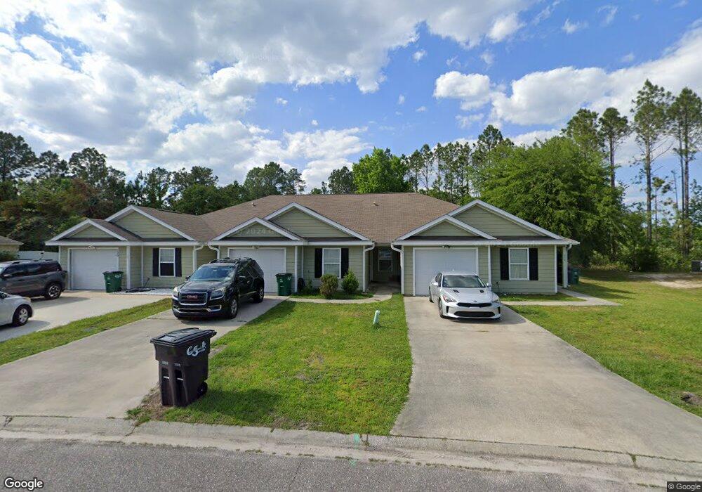
118 Ashwood Cir Unit B Saint Marys, GA 31558
Estimated Value: $238,000 - $255,000
3
Beds
2
Baths
1,369
Sq Ft
$179/Sq Ft
Est. Value
About This Home
This home is located at 118 Ashwood Cir Unit B, Saint Marys, GA 31558 and is currently estimated at $244,922, approximately $178 per square foot. 118 Ashwood Cir Unit B is a home located in Camden County with nearby schools including Crooked River Elementary School, Saint Marys Middle School, and Camden County High School.
Ownership History
Date
Name
Owned For
Owner Type
Purchase Details
Closed on
Nov 23, 2015
Sold by
Jackson Josephine
Bought by
Jackson Josephine and Jackson Anthony
Current Estimated Value
Home Financials for this Owner
Home Financials are based on the most recent Mortgage that was taken out on this home.
Original Mortgage
$80,800
Outstanding Balance
$63,639
Interest Rate
3.83%
Mortgage Type
New Conventional
Estimated Equity
$181,283
Purchase Details
Closed on
Apr 27, 2015
Sold by
Citizens State Bank
Bought by
Gallup Jordan W and Gallup Jacqueline R
Home Financials for this Owner
Home Financials are based on the most recent Mortgage that was taken out on this home.
Original Mortgage
$64,053
Interest Rate
3.79%
Mortgage Type
New Conventional
Purchase Details
Closed on
Jul 1, 2014
Sold by
Southeast Georgia Ventures
Bought by
Citizens State Bank
Create a Home Valuation Report for This Property
The Home Valuation Report is an in-depth analysis detailing your home's value as well as a comparison with similar homes in the area
Home Values in the Area
Average Home Value in this Area
Purchase History
| Date | Buyer | Sale Price | Title Company |
|---|---|---|---|
| Jackson Josephine | -- | -- | |
| Jackson Josephine | $101,000 | -- | |
| Gallup Jordan W | $63,000 | -- | |
| Citizens State Bank | $134,000 | -- |
Source: Public Records
Mortgage History
| Date | Status | Borrower | Loan Amount |
|---|---|---|---|
| Open | Jackson Josephine | $80,800 | |
| Closed | Jackson Josephine | $80,800 | |
| Previous Owner | Gallup Jordan W | $64,053 |
Source: Public Records
Tax History Compared to Growth
Tax History
| Year | Tax Paid | Tax Assessment Tax Assessment Total Assessment is a certain percentage of the fair market value that is determined by local assessors to be the total taxable value of land and additions on the property. | Land | Improvement |
|---|---|---|---|---|
| 2024 | $2,939 | $85,450 | $6,400 | $79,050 |
| 2023 | $3,032 | $85,450 | $6,400 | $79,050 |
| 2022 | $1,950 | $66,678 | $6,400 | $60,278 |
| 2021 | $1,706 | $55,172 | $4,300 | $50,872 |
| 2020 | $1,641 | $51,612 | $4,300 | $47,312 |
| 2019 | $1,641 | $51,612 | $4,300 | $47,312 |
| 2018 | $335 | $51,612 | $4,300 | $47,312 |
| 2017 | $1,414 | $47,056 | $4,300 | $42,756 |
| 2016 | $1,210 | $45,834 | $4,300 | $41,534 |
| 2015 | $1,208 | $41,680 | $4,300 | $37,381 |
| 2014 | $1,203 | $41,681 | $4,300 | $37,381 |
Source: Public Records
Map
Nearby Homes
- 135 Ashwood Cir
- 139 Ashwood Cir
- 115 Teakwood Dr
- 119 Teakwood Dr
- 120 Teakwood Dr
- 147 Teakwood Dr
- 135 Tapique Cir
- 110 Juliana Place
- 207 Wild Grape Dr
- 142 Hamilton Dr
- 412 Mcqueen Cir
- 103 Shearman Way
- 101 Bachlott Rd
- 101 Elliott Way
- 303 Maggie Way
- 407 Hunt Club Rd
- 233 School House Creek Dr
- 112 Blairs Ct
- 409 Old Mill Dr
- 501 Old Mill Dr
- 118 Ashwood Cir Unit 87
- 118 Ashwood Cir
- 116 Ashwood Cir Unit C
- 116 Ashwood Cir
- 114 Ashwood Cir
- 114 Ashwood Cir Unit Lot 27 3
- 120 Ashwood Cir
- 120 Ashwood Cir Unit 120
- 120 Ashwood Cir Unit A
- 122 Ashwood Cir
- 112 Ashwood Cir
- 112 Ashwood Cir Unit Lot 27 2
- 124 Ashwood Cir
- 124 Ashwood Cir Unit B
- 110 Ashwood Cir
- 110 Ashwood Cir Unit Lot 27 1
- 126 Ashwood Cir Unit A
- 126 Ashwood Cir
- 108 Ashwood Cir Unit Lot 32 1
- 108 Ashwood Cir