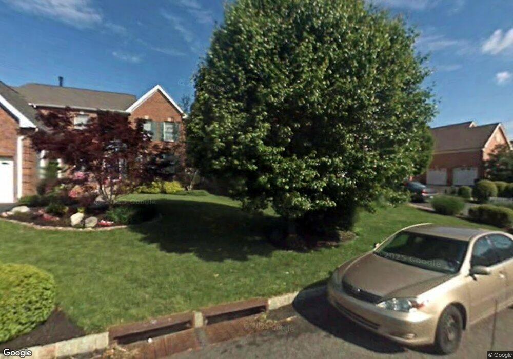
118 Augusta Dr Moorestown, NJ 08057
Estimated Value: $1,050,621 - $1,110,000
--
Bed
--
Bath
3,159
Sq Ft
$340/Sq Ft
Est. Value
About This Home
This home is located at 118 Augusta Dr, Moorestown, NJ 08057 and is currently estimated at $1,072,874, approximately $339 per square foot. 118 Augusta Dr is a home located in Burlington County with nearby schools including South Valley Elementary School, Moorestown Upper Elementary School, and William Allen Middle School.
Ownership History
Date
Name
Owned For
Owner Type
Purchase Details
Closed on
Apr 20, 2000
Sold by
Bacon Gene R and Bacon Barbara A
Bought by
Jagpal Ravindar
Current Estimated Value
Home Financials for this Owner
Home Financials are based on the most recent Mortgage that was taken out on this home.
Original Mortgage
$384,700
Interest Rate
8.21%
Purchase Details
Closed on
Jun 26, 1997
Sold by
Laurel Creek Lp
Bought by
Bacon Gene R and Bacon Barbara A
Home Financials for this Owner
Home Financials are based on the most recent Mortgage that was taken out on this home.
Original Mortgage
$230,000
Interest Rate
6.5%
Create a Home Valuation Report for This Property
The Home Valuation Report is an in-depth analysis detailing your home's value as well as a comparison with similar homes in the area
Home Values in the Area
Average Home Value in this Area
Purchase History
| Date | Buyer | Sale Price | Title Company |
|---|---|---|---|
| Jagpal Ravindar | $427,500 | -- | |
| Bacon Gene R | $334,990 | -- |
Source: Public Records
Mortgage History
| Date | Status | Borrower | Loan Amount |
|---|---|---|---|
| Closed | Jagpal Ravindar | $384,700 | |
| Previous Owner | Bacon Gene R | $230,000 |
Source: Public Records
Tax History Compared to Growth
Tax History
| Year | Tax Paid | Tax Assessment Tax Assessment Total Assessment is a certain percentage of the fair market value that is determined by local assessors to be the total taxable value of land and additions on the property. | Land | Improvement |
|---|---|---|---|---|
| 2025 | $15,280 | $538,600 | $195,800 | $342,800 |
| 2024 | $14,817 | $538,600 | $195,800 | $342,800 |
| 2023 | $14,817 | $538,600 | $195,800 | $342,800 |
| 2022 | $14,666 | $538,600 | $195,800 | $342,800 |
| 2021 | $13,471 | $538,600 | $195,800 | $342,800 |
| 2020 | $14,381 | $538,600 | $195,800 | $342,800 |
| 2019 | $14,127 | $538,600 | $195,800 | $342,800 |
| 2018 | $13,745 | $538,600 | $195,800 | $342,800 |
| 2017 | $13,864 | $538,600 | $195,800 | $342,800 |
| 2016 | $13,815 | $538,600 | $195,800 | $342,800 |
| 2015 | $13,648 | $538,600 | $195,800 | $342,800 |
| 2014 | $12,959 | $538,600 | $195,800 | $342,800 |
Source: Public Records
Map
Nearby Homes
- 40 Palmer Dr Unit 110
- 158 Sarazen Dr
- 127 Oakmont Dr
- 14 Baltusrol Terrace
- 901 Mcelwee Rd
- 950 Bortons Landing Rd
- 39 Bramley Rd
- 97 Brooks Rd
- 5 Murray Rd
- 12 Cove Rd
- 57 Brooks Rd
- 482 Monte Farm Rd
- 42 Landing Ct
- 801 Cox Rd
- 69 Sister's Farmstead Rd
- 20 Starboard Way
- 22 Cardinal Way
- 6 Buoy Dr
- 218 Starboard Way
- 712 Kimberly Dr